It is Geography Awareness Week 2025 – Friday
As Geography Awareness Week comes to a close, let’s take a moment to discuss OpenStreetMap.…

As Geography Awareness Week comes to a close, let’s take a moment to discuss OpenStreetMap.…
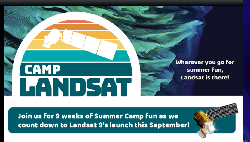
Camp Landsat provides many activities for kids and adults to enjoy and understand Landsat satellite…

What can I do to celebrate World Water Day?

After that last post, you might be interested in finding more resources about the cryosphere,…

Annually, the United Nations celebrates March 22nd as World Water Day. World Water Day celebrates…

As we continue moving through the series of lessons of the 2024 Earth Observation Day…
Here are a few fun maps and StoryMaps that have some holiday themes or can…
The ISU GIS Facility is hosting our second annual Mapping Masterminds Map Competition. It is…
Earth Observation Day 2024 is finally here as it the release of the AmericaView 2024…
This is an excellent challenge to test your geography skills and identify natural features from…