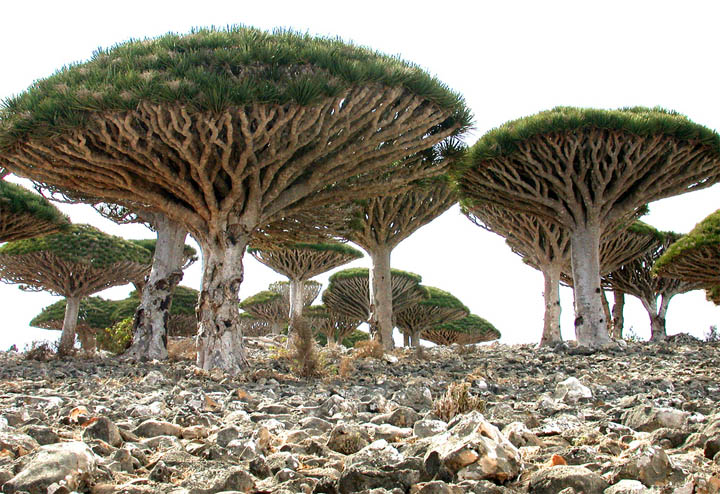
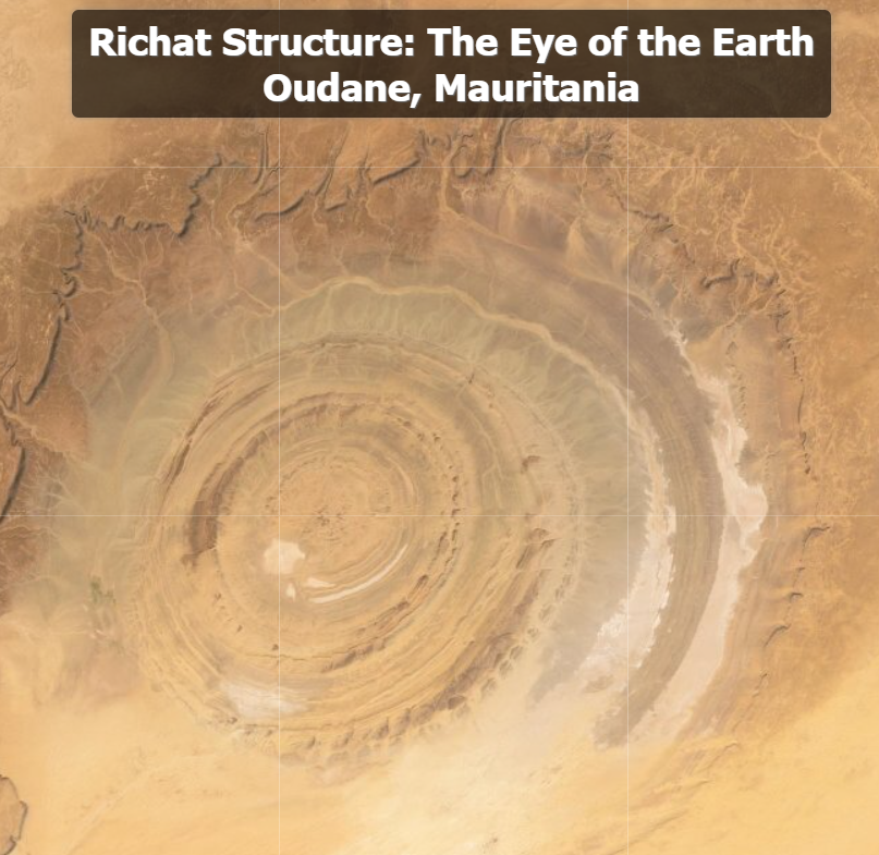
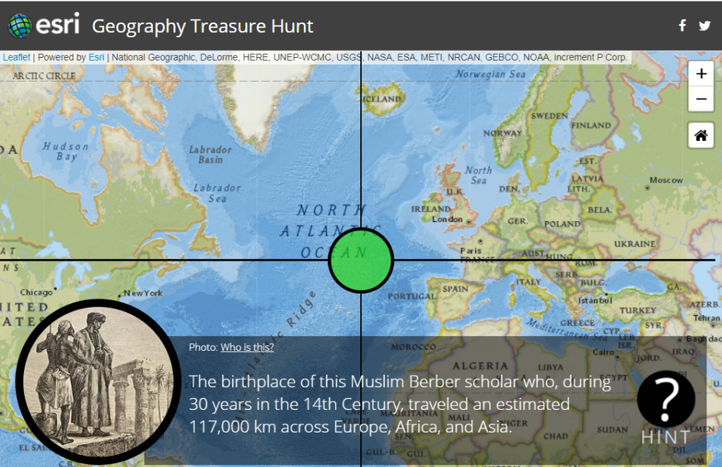
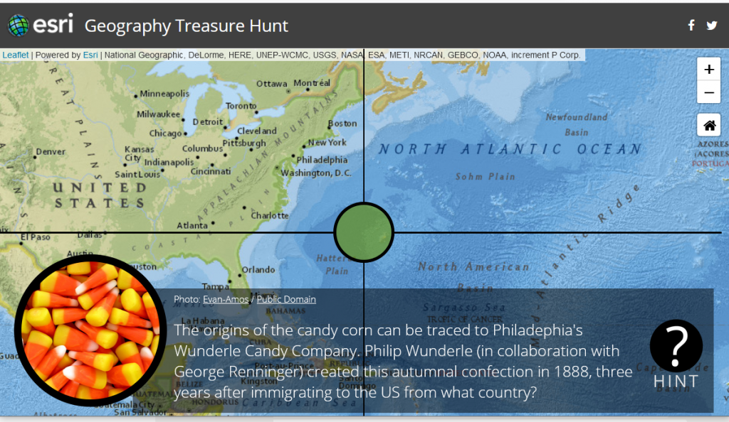
ESRI has put together a fun Halloween themed Geography Treasure Hunt that uses their story map technology to test your halloween trivia and world geography knowledge. Good luck.
Another exciting Halloween opportunity for those in the Ames area is Reiman Gardens Spirits in the Gardens event. Participants will enjoy walking through a garden path of hundreds of beautifully carved pumpkins. It is a ticketed event, registration information here. IowaView staff member, Amy Logan, will be at the event on Sunday, November 1st from 5-7pm, discussing remote sensing and GIS and handing out goodie bags of Earthshot trading cards while supplies last.
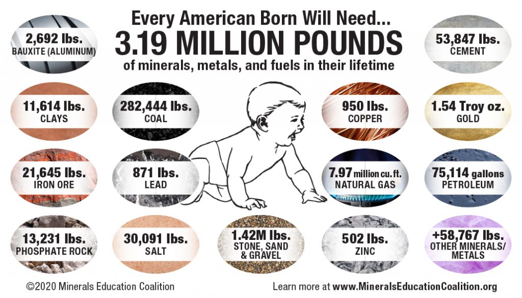
Today think about how you use minerals in your daily life.
Join the Earth Science Week team in raising awareness of and appreciation for minerals and mineralogy among the general public as well as K-12 and higher education students and teachers in both formal and informal educational settings.
Monday, October 12 Minerals Day. Join us in raising awareness of and appreciation for minerals and mineralogy!
Tuesday, October 13 Earth Observation Day. Engage students and teachers in remote sensing as an exciting and powerful educational tool.
No Child Left Inside Day. NCLI Day encourages students to go outside and research Earth science in the field like a professional geoscientist.
Wednesday, October 14 National Fossil Day. The annually held National Fossil Day celebration is dedicated to promoting the understanding and appreciation of fossils.
Thursday, October 15 Geoscience for Everyone Day. Do your part to help young people from underrepresented communities explore exciting careers in the geosciences.
Friday, October 16 Geologic Map Day. Hosted by the U.S. Geological Survey, Association of American State Geologists, National Park Service, Geological Society of America, and the National Aeronautics and Space Administration in partnership with AGI, this special event promotes awareness of the study, uses, importance of geologic mapping for education, science, business, and a variety of public policy concerns.
Saturday, October 17 International Archaeology Day. Hosted by the Archaeological Institute of America, this special event is a celebration of archaeology and the thrill of discovery.
Webinars
“Advances in the Mineralogy of Mars,” Dr. Elizabeth Rampe, Johnson Space Center. (Recorded to premiere at 10 a.m. EDT, Monday, October 12, 2020)
“The Future of Data-Driven Discovery in Mineralogy and Crystallography,” Dr. Shaunna Morrison, Carnegie Institution of Science. (Live at 2 p.m. EDT, Monday, October 12, 2020)
“Resources Beyond Earth: Enabling Future Exploration and the New Space Economy,” Dr. Angel Abbud Madrid, Center for Space Resources, Colorado School of Mines. (On Demand with a live Q&A at 12 p.m. EDT, Tuesday, October 13, 2020)
“Gemology: Time Capsules Connecting Us Through History,” Dr. Aaron Palke, Gemological Institute of America. (Recorded to premiere at 3 p.m. EDT, Tuesday, October 13, 2020)
“The Need and Solutions for Robots in Responsible Raw Material Exploration and Mining,” Dr. Norbert Zajzon, University of Miskolc. (On Demand with a live Q&A at 12 p.m. EDT, Wednesday, October 14, 2020)
“New Insights Into Wire Silver and Gold Formation,” Dr. John Rakovan, Miami University. (Recorded to premiere at 3 p.m. EDT, Wednesday, October 14, 2020)
“Consumers: The Most Potent Army Against Conflict Minerals,” Vitor Correia, International Raw Materials Observatory. (On Demand with a live Q&A at 12pm EDT, Friday, October 16, 2020)
“May the Quartz Be With You,” Shannon Mahan, U.S. Geological Survey. With an introduction by Sarah J. Ryker, USGS Associate Director for Energy & Minerals. (On Demand)
“The Global Supply of Critical Minerals: Assessing and Tracking Critical Mineral Commodities,” Nedal Nassar, U.S. Geological Survey. (On Demand)
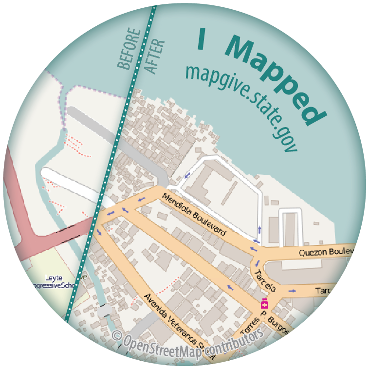
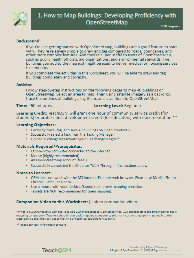
Join the OpenStreetMap US Virtual Mappy Hour. Members of the OpenStreetMap (OSM) Community present short, informational talks related to OSM and other mapping related topics. Here are links to some the past and upcoming Mappy Hour topics.
AmericaView has a series of over 70 Earth image puzzles to encourage people of all ages to engage with satellite imagery and learn more about remote sensing by offering a fun challenge. The puzzles can be made to match ability or time available by choosing the number of pieces from 12 to 110 pieces. There are also options that allow the pieces to be shuffled or the border to be completed.
The USGS has produced an amazing collection of images (also available as trading cards!) that show Earth’s change over time. The Earthshot collection has a wide variety of examples of change over time including: – natural phenomena changes (glaciers, deserts,) – social change (city growth,) – human interaction with the natural world (mining, deforestation, agriculture,) – natural disasters (hurricanes, tornado damage, flooding.)
Below are two examples of the trading cards, Mount St. Helens pre/post volcanic explosion and Las Vegas, Nevada population growth over time.
If you view a location on through the browser you will get about 5 images you can review as well as context about the images.