Category Archives: Announcement

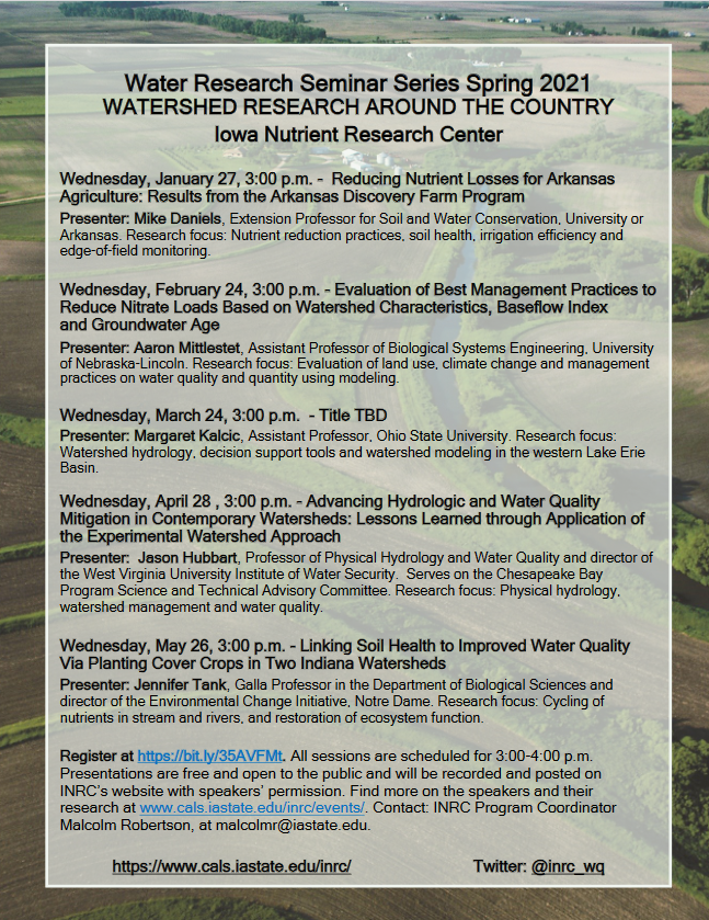
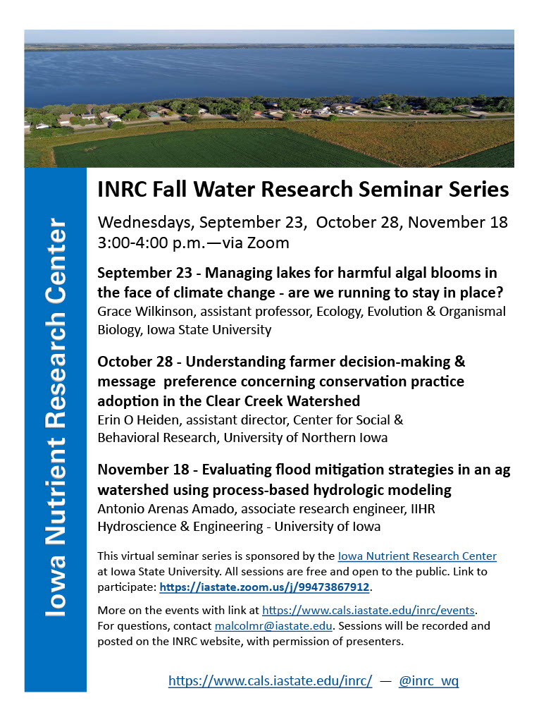
Seminar Alert: Reducing Nutrient Loss At Arkansas Discovery Farm

Today, Mike Daniels from the University of Arkansas will be presenting about how the Arkansas Discovery Farm is reducing nutrient loss, defining and building soil health, improving irrigation efficiency and edge-of-field monitoring of runoff. His statewide Extension efforts encourage agricultural producers to adopt conservation practices to protect natural resources and improve agricultural sustainability.

Here is the registration link: https://bit.ly/35AVFMt. The session will be recorded and are available on the Iowa Nutrient Research Center (INRC) website. For more information about the upcoming INRC seminar events: https://www.cals.iastate.edu/inrc/events/list?tid=304.

Be part of the Global Celebration: Geography Awareness Week 2020!

Join us this week, November 15-21, 2020, as we celebrate Geography Awareness Week. Throughout we will be posting various activities and videos from our friends at OpenStreetMap, National Geographic, and Esri to help you get engage and get informed.

As a way to celebrate GIS Day and OpenStreetMap, we are encouraging everyone to go online either during this week or on GIS Day and contribute to the OpenStreetMap basemap. If you are interested and would like more information about how to get started, please email, Amy Logan.

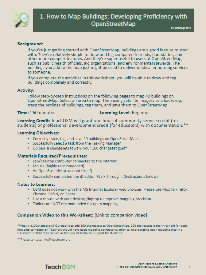
If this is your first time using OpenStreetMap, sign up for an OpenStreetMap account: https://www.openstreetmap.org/user/new. Then look over this helpful resource from TeachOSM about how to get started and build proficiency with OpenStreetMap: (https://ubique.americangeo.org/wp-content/uploads/2019/09/2_buildings_worksheet_1-2.pdf)

New Video Tutorials Available from VirginiaView

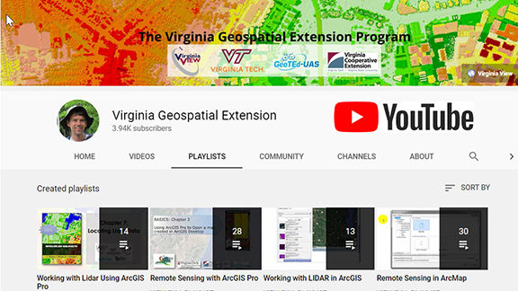
VirginiaView, in partnership with Virginia Tech and other partners, recently published a new video tutorial series called “Working with Lidar Using ArcGIS Pro”.   This resource is appropriate for 2-year and 4-year college faculty who would like to integrate additional online (and self-paced) educational resources with their courses.

Previous tutorial topics have also been popular with geospatial professionals who are seeking a cost effective and self-paced opportunity to sharpen their geospatial skills.  The new tutorial series (and other topics listed below) might be appropriate for professionals working with local/regional/state/federal governments, as well as in the private sector.

The following geospatial video tutorials are available at no cost, and can be accessed via http://www.virginiaview.net/videos

New!  Working with Lidar Using ArcGIS Pro (14 videos)

Remote Sensing with ArcGIS Pro (28 videos)

Remote Sensing with ArcMap (30 videos)

Using Lidar in ArcGIS Desktop (13 videos)

Drones: Mastering the Aeronautical Charts (6 videos)

Coming Soon – EARTH SCIENCE WEEK – Oct 11-17, 2020

Next week is Earth Science Week. This year the theme is Earth Materials in Our Lives. Throughout the week we will be exploring different aspects of earth sciences, finding ways to connect to the earth, and looking at careers and organizations that are devoted to the study of our earth.

Check back all week for daily updates and ways to celebrate!