Category Archives: Article

Earth Week 2017: Adopt the Planet

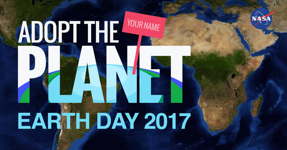
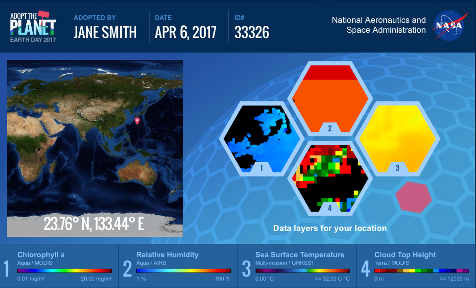
Happy Earth Week! This year NASA has created unique opportunity just in time for Earth Day for interested participants to “Adopt the Planet.”  There are 64,000 locations available from adoption.    

Credit: NASA https://www.nasa.gov/feature/goddard/2017/nasa-celebrates-earth-day-by-letting-us-all-adopttheplanet

When you visit the website you can fill in your name and then receive a certificate with your adopted patch of Earth.  The adoption certificate gives you specific coordinates of your location on our globe as well as satellite data layers relevant to your piece of Earth.  You can use WorldView, NASA’s web-based satellite viewing application, to explore your adopted point over time and with different layers.   

I received a point on the coast of Antarctica.  It was cool to explore a part of our planet that I don’t normally think about on a daily basis. With the WorldView application I was able to see how it changes over the seasons from solid ice to open ocean. WorldView even has the ability to animate these observations.

This outreach event allows us the appreciate our planet from space and helps us learn about some of the space instruments that are continuously monitoring and circling our planet.

Credit: NASA https://www.nasa.gov/feature/goddard/2017/nasa-celebrates-earth-day-by-letting-us-all-adopttheplanet

Iowa BMP Mapping Project data now available!

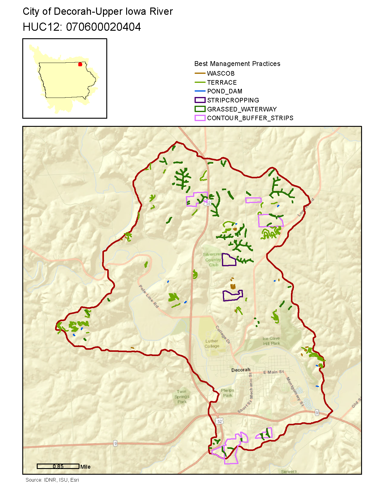
The ISU GIS Facility recently rolled out a new website (http://www.gis.iastate.edu/gisf/projects/conservation-practices) that allows users to download completed data sets from the Iowa BMP Mapping Project. Each file geodatabase contains 6 mapped conservation practices: contour buffer strips, grassed waterways, stripcropping, pond dams, terraces, and WASCOB (water and sediment control basins.) The website also allows visitors to preview the data available in the file geodatabases by downloading a pdf.  Please use this valuable resource.


An example of the pdf output


Earth as Art Exhibit opens!

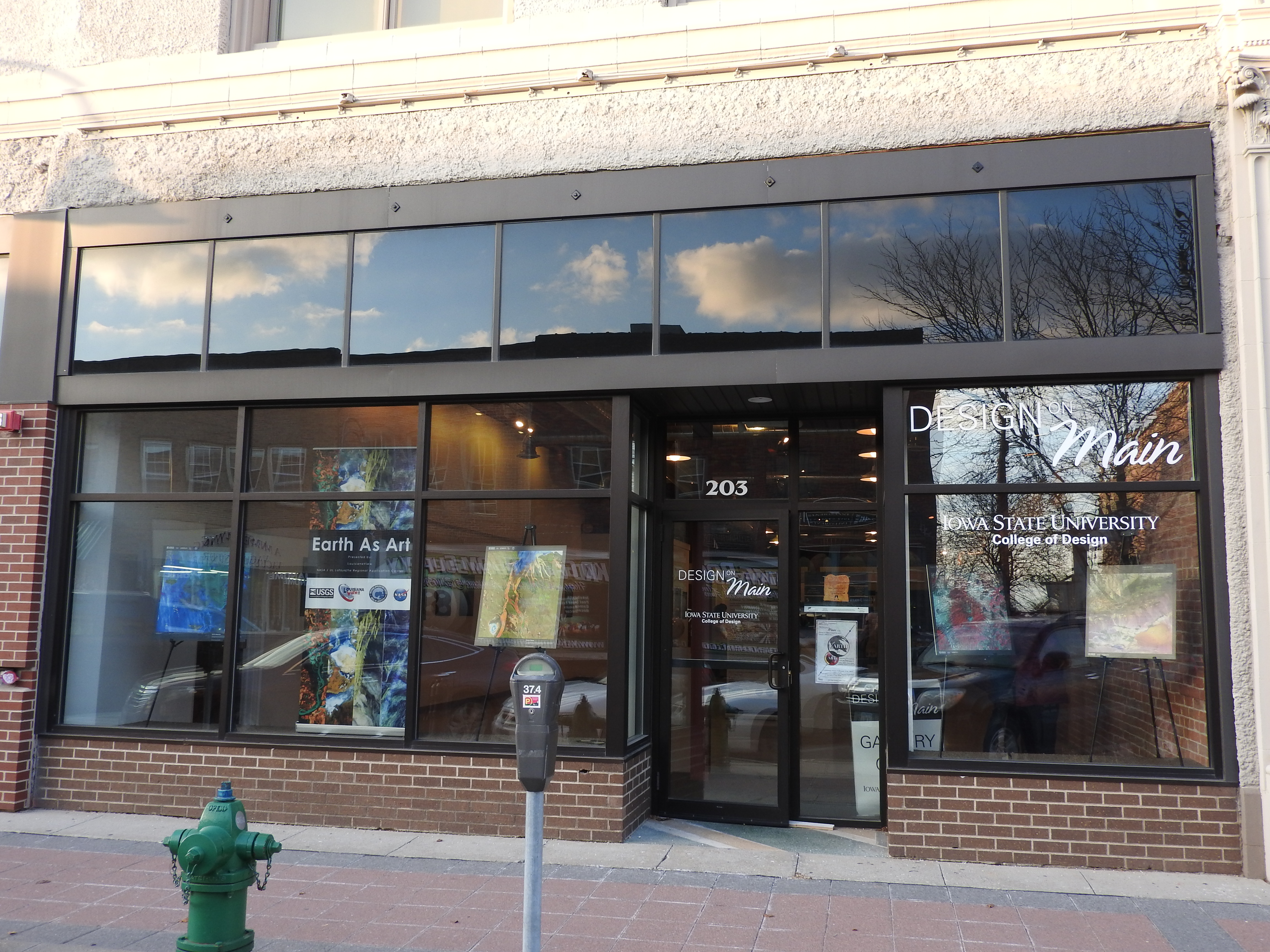
The opening reception for the Earth as Art exhibit is on February, 2, 5-8pm. Several younger visitors were in attendance.  They created model satellites, color wheels, and searched the gallery to complete the scavenger hunt.  There was gallery talk at 6:30 pm by Brent Yantis, the LouisianaView director and the exhibit collection curator, he explained how the images were selected and shared some of his favorite images with us. 

There was a reception of crudites and cheese as well as a King Cake that was brought from Louisiana. The King Cake tasted like a cross between a glazed doughnut and a cinnamon roll, filled with chocolate and cream filling. LouisianaView and IowaView are part of the larger AmericaView, nationwide consortium for remote sensing education, research, and geospatial applications.

2016 Imagery available for Eastern Iowa!

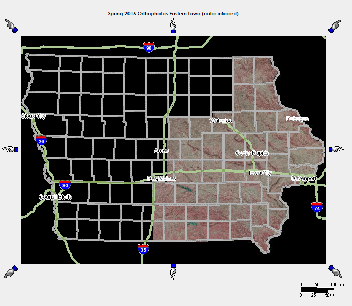
Spring 2016 ortho imagery is now on the Orthoserver – http://ortho.gis.iastate.edu/.  ISU GIS Facility staff created natural color, color-infrared, and 4 band image services for the spring 2016 aerial flight of the eastern half of Iowa.  The source resolution is 1 foot.  The services can be found at: http://ortho.gis.iastate.edu/arcgis/rest/services/ortho . 

2016-ortho

Celebrating a 40 year milestone of Landsat Color photomosaics

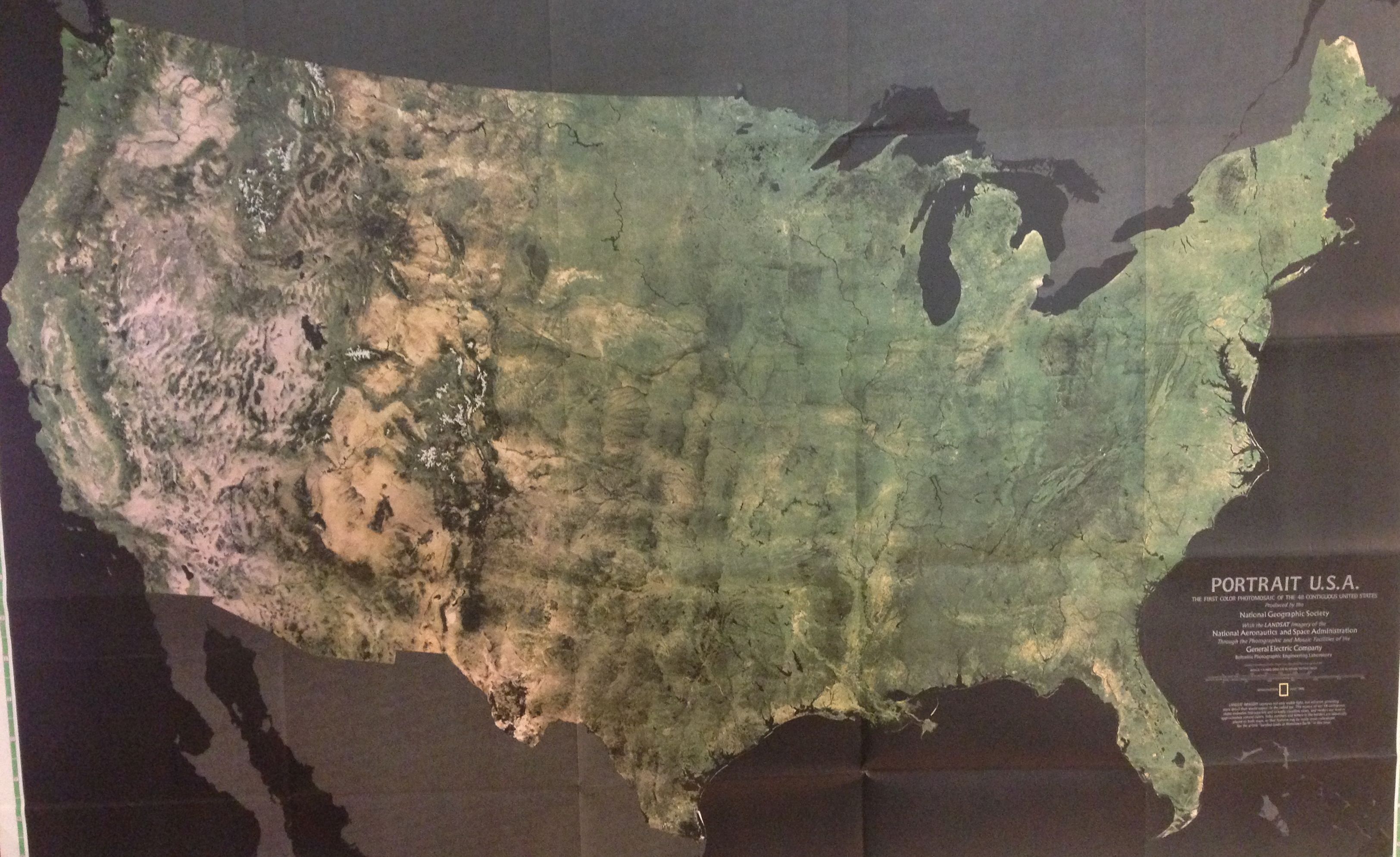
I was going through a collection of maps in my basement this weekend and found the map seen below: PORTRAIT U.S.A. – the first color photomosaic of the 48 contiguous United States which was featured in the July 1976 issue of National Geographic Magazine. Here’s to forty years of color photomosaics!  Happy Monday!

Here’s a description of the map from the National Geographic website: The first color satellite photomosaic of the 48 contiguous United States, this landmark map was published in July of 1976. The near-true color imagery creates a portrait of the patchwork quilt of the entire country. Trace the Mississippi river from its source to the Gulf of Mexico. See the deserts of New Mexico, Arizona, and California. Follow the Rocky Mountains through the western states. A cartographic benchmark, this map laid the groundwork for the many that have followed. http://www.natgeomaps.com/portrait-usa-map


LandsatUS1976

In the blog post, “When the Earth Began Looking at Itself: the Landsat Program,” Fosco Lucarelli, provides additional history and images of Landsat program. The PORTRAIT U.S.A is composed of 700 mosaic images.

IowaView Phenocams are online!

phenocam_picture

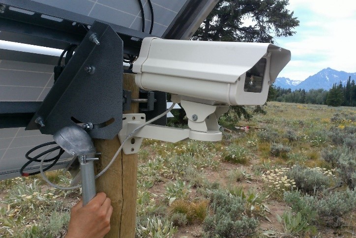
IowaView Phenocam – Grand Tetons, WY

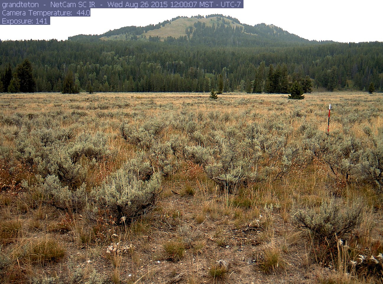
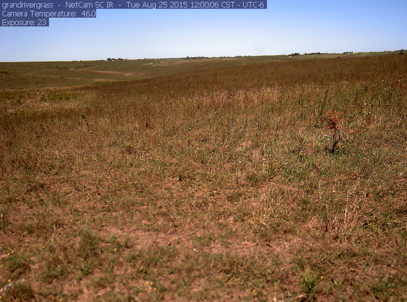
A phenocam is a digital camera that takes pictures at set intervals as a way to track the change in vegetation and climatic conditions throughout the year at a given location. The phenocam provides fixed scene, time-lapse images over the course of a year, which can then be analyzed for a variety of scientific uses, including seasonal changes such as spring “green-up” or fall “leaf-off.”

WYphenocam Crew

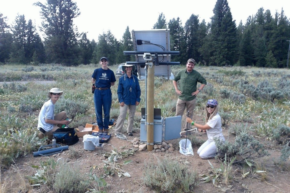
Team members installing the IowaView Phenocam in Wyoming

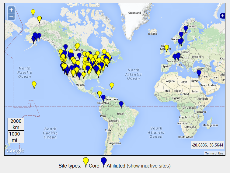
IowaView has partnered with Dr. Diane Debinski and the Debinski Lab (Iowa State University – Ecology, Evolution, and Organismal Biology) to install two phenocams at their research areas in Iowa – Grand River Grassland and Wyoming – Grand Teton. The IowaView phenocams are part of a larger phenocam network across the USA and world.

Phenocam_Sites

Locations of Phenocams Sites

grandteton

Picture taken by IowaView Phenocam – Grand Tetons in Wyoming

grandrivergrass_2015_08_25_120006

Picture taken by IowaView Phenocam – Grand River Grasslands in Iowa

In the coming weeks, we will provides links for educational opportunities that provide instructions on using the phenocam data in the classroom.

Thanks to the Debinski Lab for their work getting our phenocams running!  Great work!

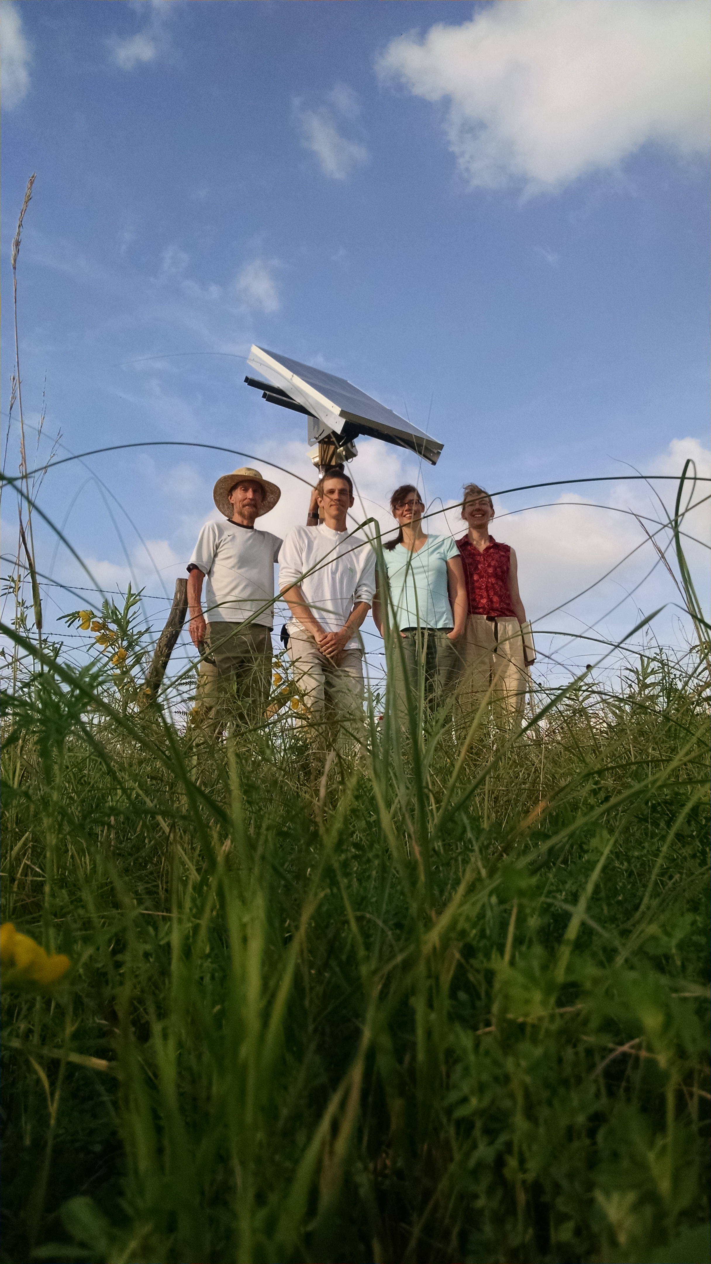
GRG Phenocam Team

Phenocam Installation Crew in Iowa