Category Archives: Earth Observation Day

Coming Soon: Earth Observation Day – Tuesday October 15, 2019

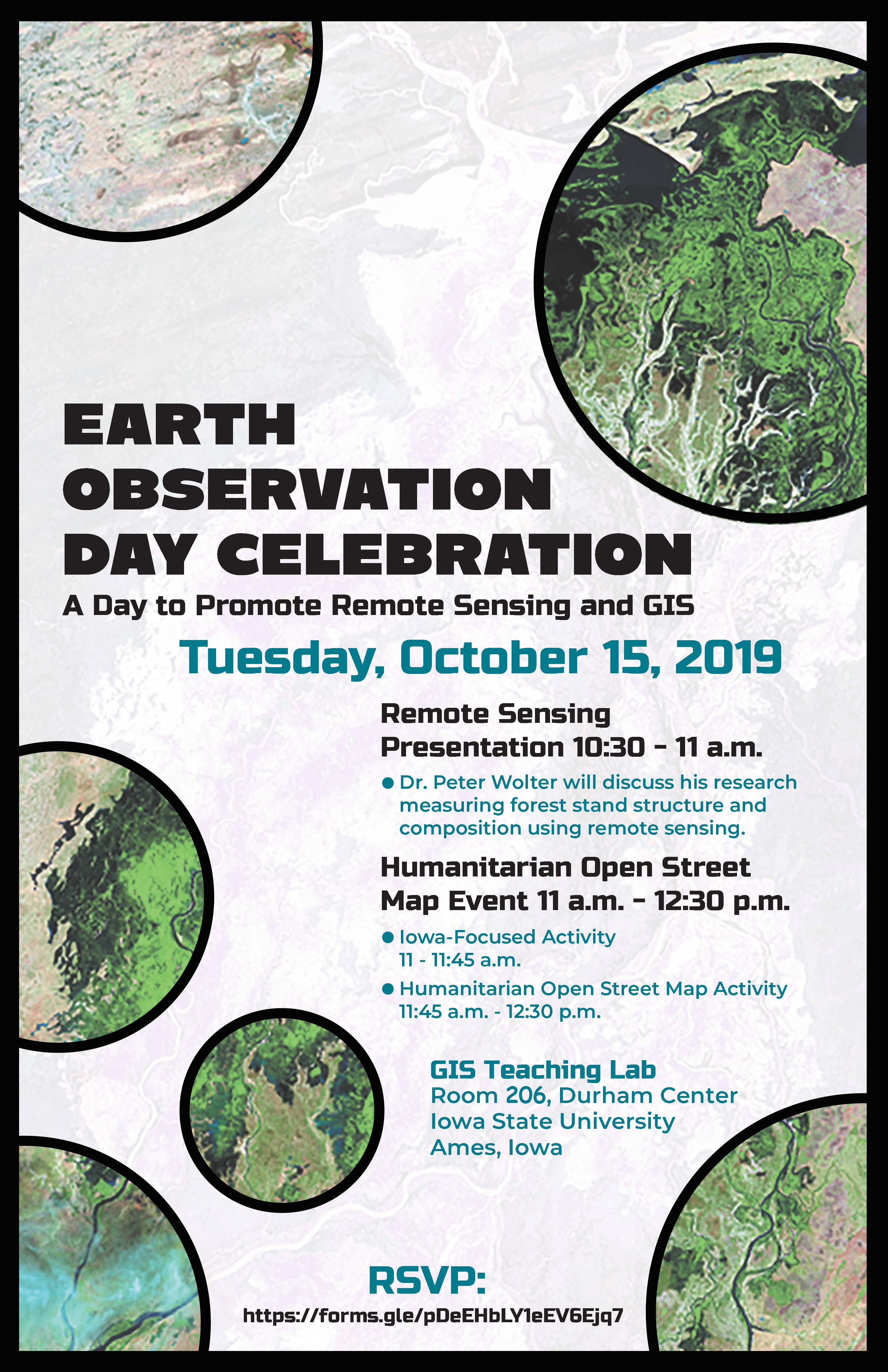
When: Tuesday, October 15, 2019
Where: GIS Teaching Lab, Room 248, Durham Center, Iowa State University, Ames, Iowa

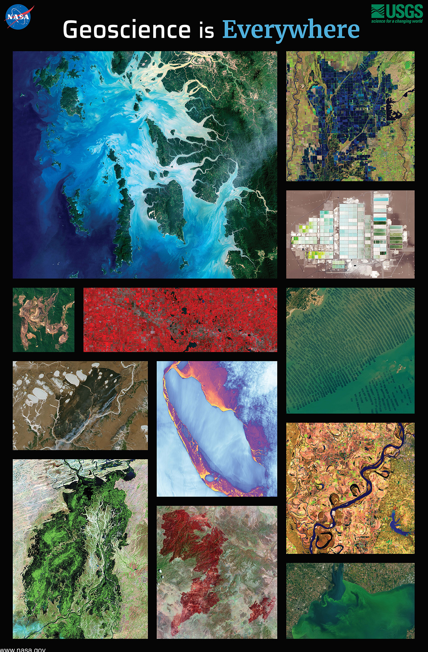
This year the ISU GIS Facility in collaboration with IowaView will be celebrating Earth Observation Day. This year the theme is “Geoscience is Everywhere.” We have a great day planned.

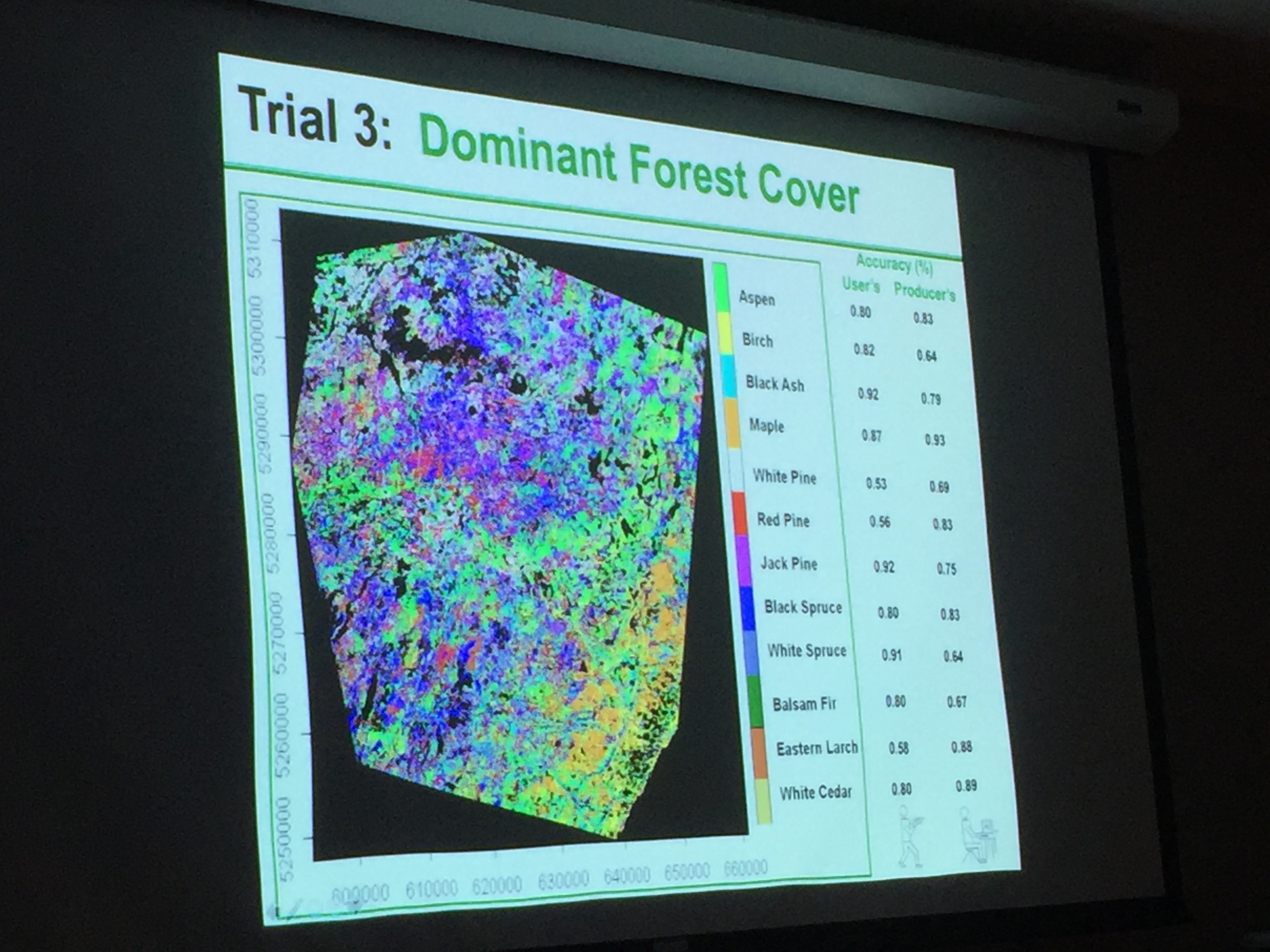
To start out our day at 10:30am, Professor Peter Wolter will share how he is using remote sensing to measure forest structure and composition. Then we will have a Humanitarian Open Street Map Event 11am-12:30pm. No experience is needed. First, we will have an Iowa-Focused activity 11:00am-11:45am and then we will focus our efforts on an international Humanitarian OpenStreetMap activity from 11:45am-12:30pm. We will also have pizza and you are encouraged to try our new puzzles.

REGISTER NOW: https://forms.gle/pDeEHbLY1eEV6Ejq7Ejq7

Happy Earth Observation Day!

Gregg Hadish gave a great presentation about the Iowa Geographic Map Server to celebrate Earth Observation Day.  It was a hands-on demonstration of the Iowa Geographic Map Server ArcGIS App which meant participants could follow along as he explained the various features and functions of the map server. Gregg also showed participants how to leverage map server layers within their own ArcGIS Online organizational accounts and basics for creating their own apps. 

Thank you, Gregg for a great demo! 

Here are some pictures from our Earth Observation Day event.

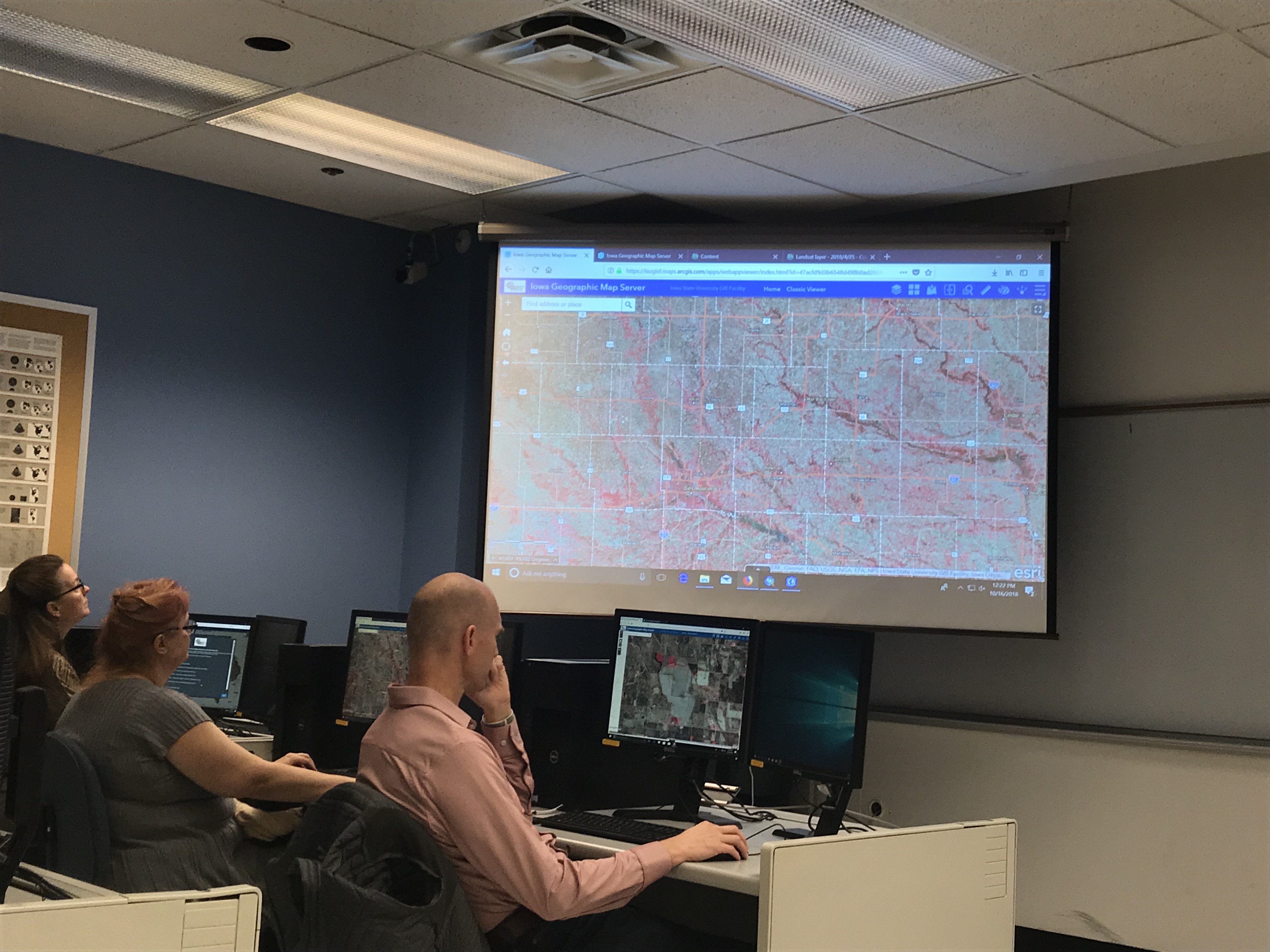
Checking out the new statewide 1 ft color infrared imagery in the web app.

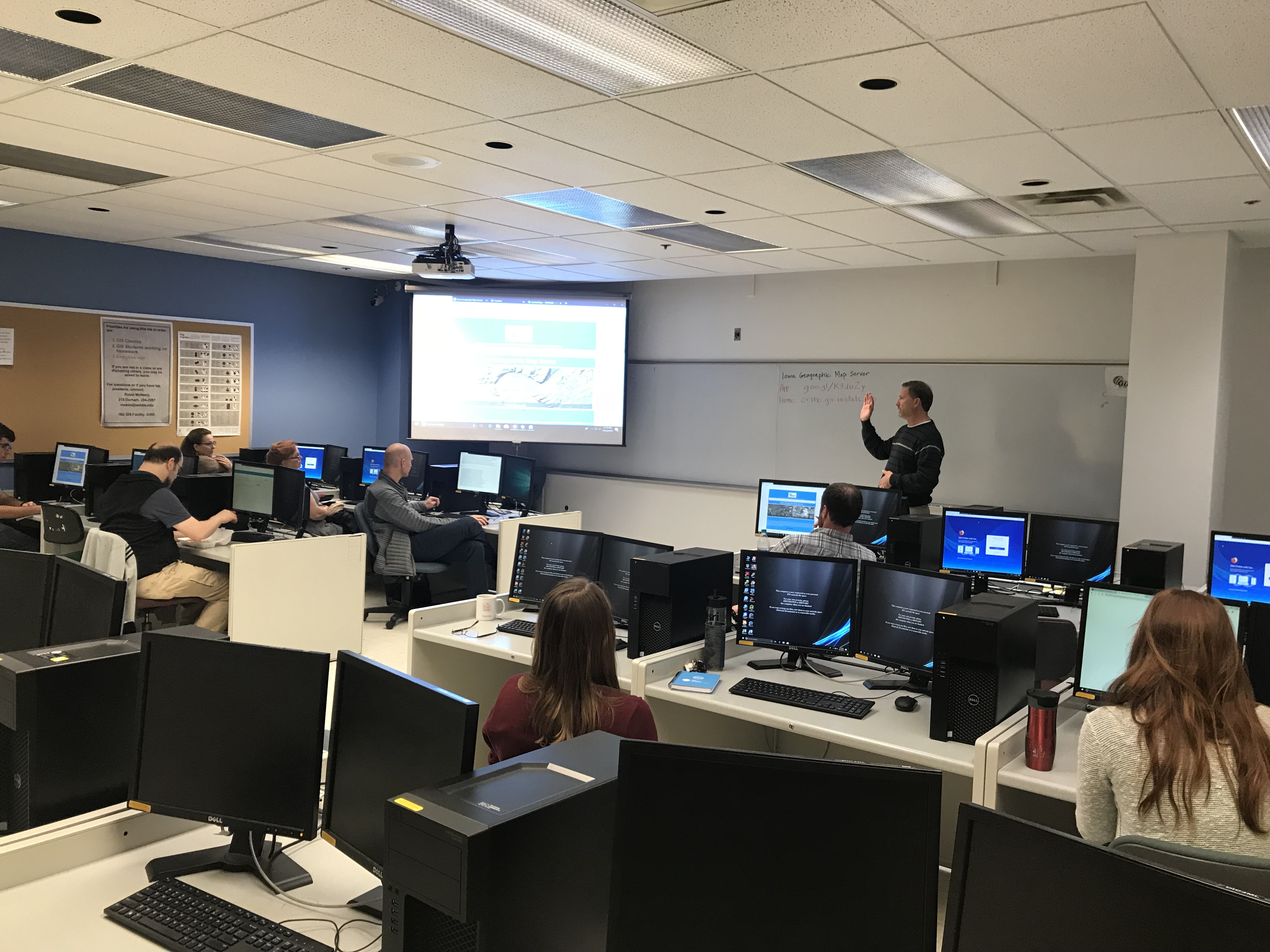
Gregg giving an introduction to the Iowa Geographic Map Server.

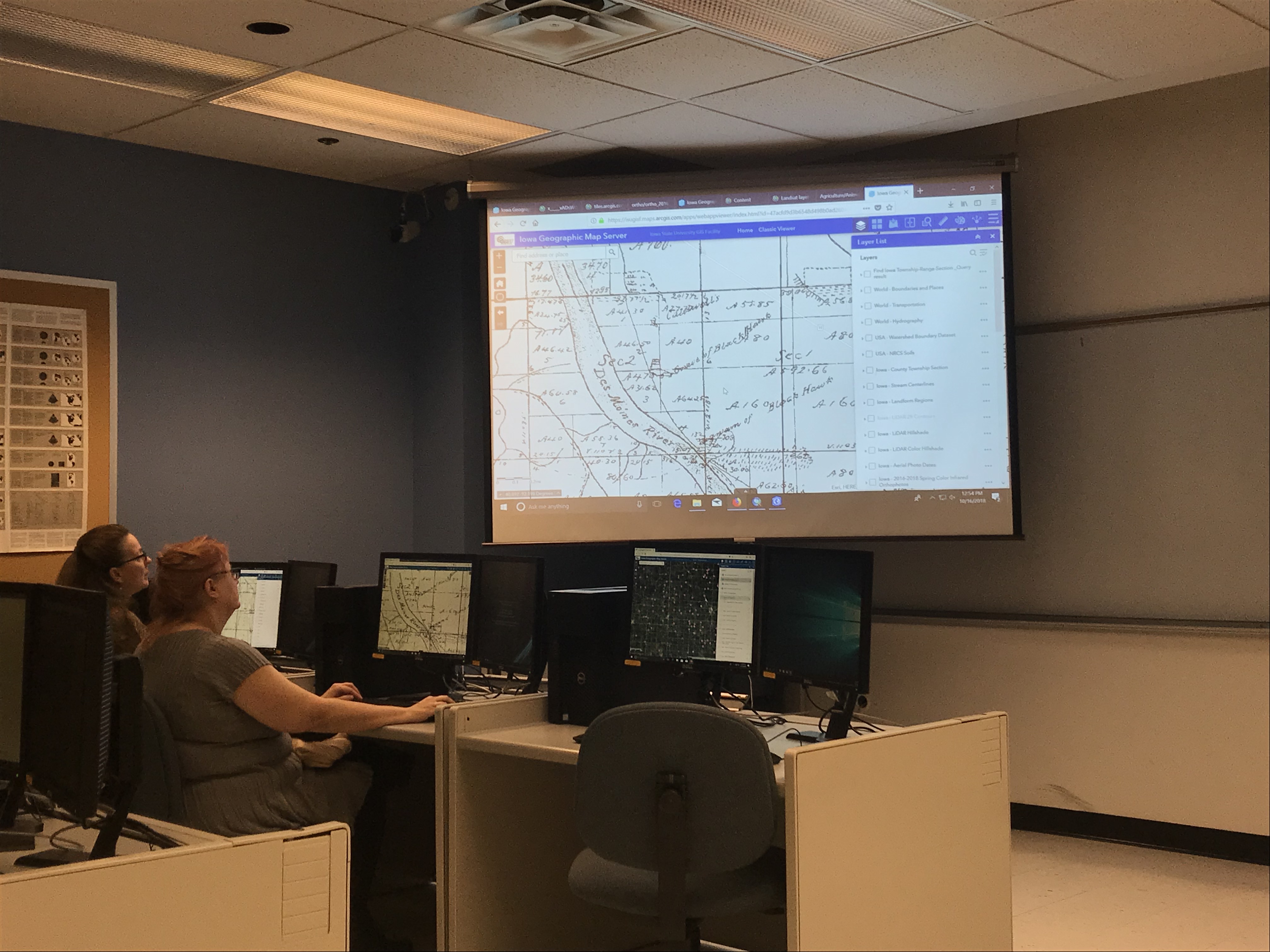
Showing a historical layer – 1880s Andreas Atlas.

Earth Observation Day – October 16, 2018


IowaView, in collaboration with ISU GIS Facility and AmericaView, will be hosting the annual Earth Observation Day celebration, Tuesday, October 16, 2018, in Durham 248 from 12:15 to 1pm as part of Earth Science Week.  This year, Gregg Hadish, a staff member of ISU GIS Facility and Iowa NRCS will be our featured speaker; he will give a hands-on demo of the Iowa Geographic Map Server (http://ortho.gis.iastate.edu/.) Iowa Geographic Map Server is browser-based website for statewide Iowa imagery. Gregg has been involved with the development of the Iowa Geographic Map Server for nearly twenty years.  The presentation will highlight recent innovations to the map server including an updated interface as well as many new features and image services. 

Iowa Geographic Map Server hosts statewide Iowa imagery dating back to the 1930s through spring 2018 as well as layers of elevation data (Lidar hillshade, contours), high-resolution land cover data, and historical data including the 1880s General Land Office maps and Andreas Atlas.  Many of the layers are available as web services within GIS software.  This is one of the most robust, publicly available, spatial imagery datasets in the country. This treasure trove of Iowa imagery that is waiting to be incorporated into your research.  This workshop is for all levels. There will also be time for questions.  If you plan to come, please RSVP with amylogan@iastate.edu as computer space is limited.  

Earth Observation Day – Thursday, October 12, 2017

This year for Earth Observation Day we had a mini mapathon and a speaker.  Our mapathon efforts focused on a project  in Puerto Rico that was mapping features as part of the Hurricane Maria recovery efforts.  Then Daryl Herzmann presented about the Iowa Environmental Mesonet (IEM), a storehouse and distribution center for weather, satellite, and transportation data for the US. Daryl gave a brief history of IEM along with highlighting many of its uses. Click here to view Daryl’s powerpoint. 

Coming Soon! Earth Observation Day – Thursday, October 12, 2017

You are invited to the annual Earth Observation Day celebration in Durham 248 from 11am to 1pm on Thursday, October 12, 2017.

From 11am-12pm, we will be having a mapping event focused on humanitarian mapping projects in areas hit by recent natural disasters.  Bring your lunch and stay from 12-12:30, we will have a guest lecture from Daryl Herzmann about the Iowa Environmental Mesonet, a website which collects and displays environmental data for Iowa from various sources including Iowa Flood Center, Iowa Department of Transportation, National Weather Service, and Iowa State University – Agronomy. Read more about the Iowa Mesonet here: https://www.extension.iastate.edu/article/iowa-environmental-mesonet-data-used-thousands-every-day.

Please come and go as you are able. If you are interested in joining us, please fill out the RSVP form (https://goo.gl/forms/SVLH4qhWDqJvfPD03) so we can plan for computer space and chairs. Please spread the word. Thank you, I hope you can join us!  

IowaView hosts a Successful Earth Observation Day!

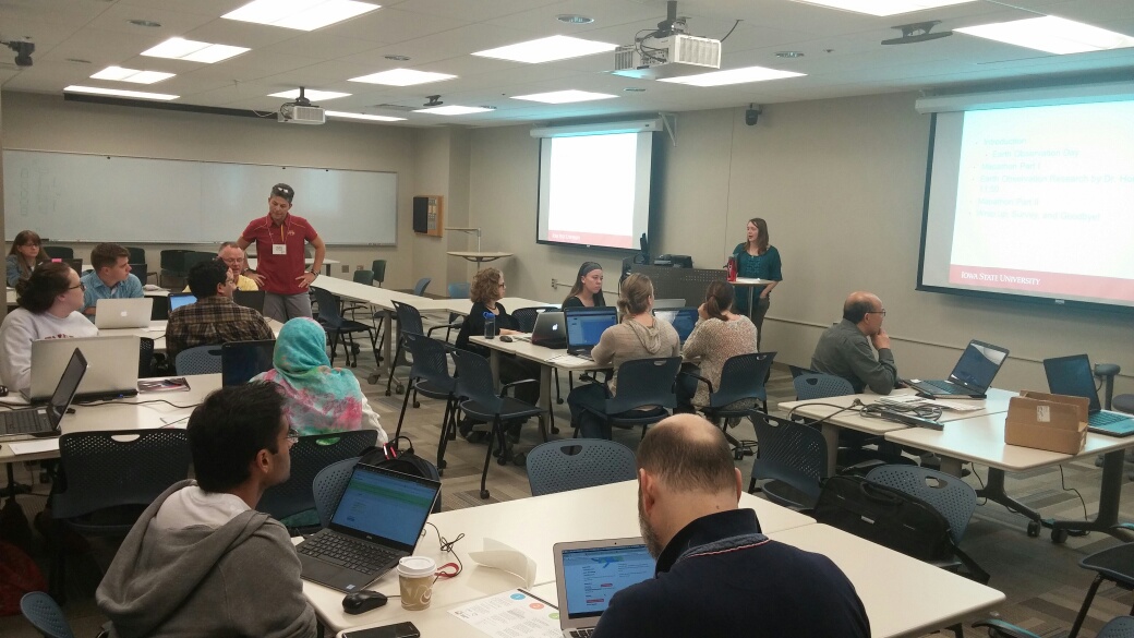
We had a fun and informative Earth Observation Day.  Here are some highlights and pictures:

earth-observation-day-10_11_2016
  • There were 24 attendees.1011161113_resized
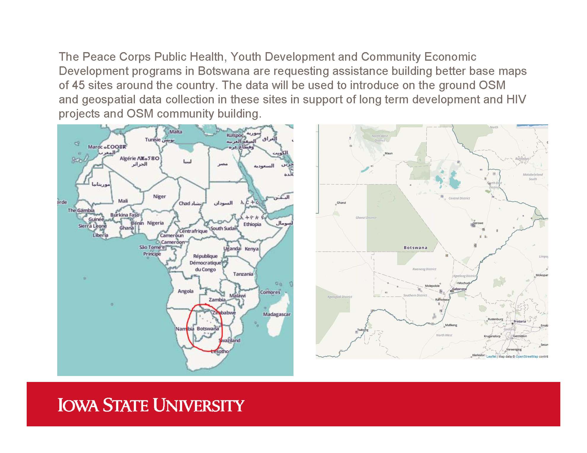
  • We had 15 mappers, who helped build a better basemap in for areas in Botswana.  Volunteers mapped dozens of roads and over 500 buildings during our mini-mapathon (45 mins)!  earth-observation-day-10_11_2016-botswana
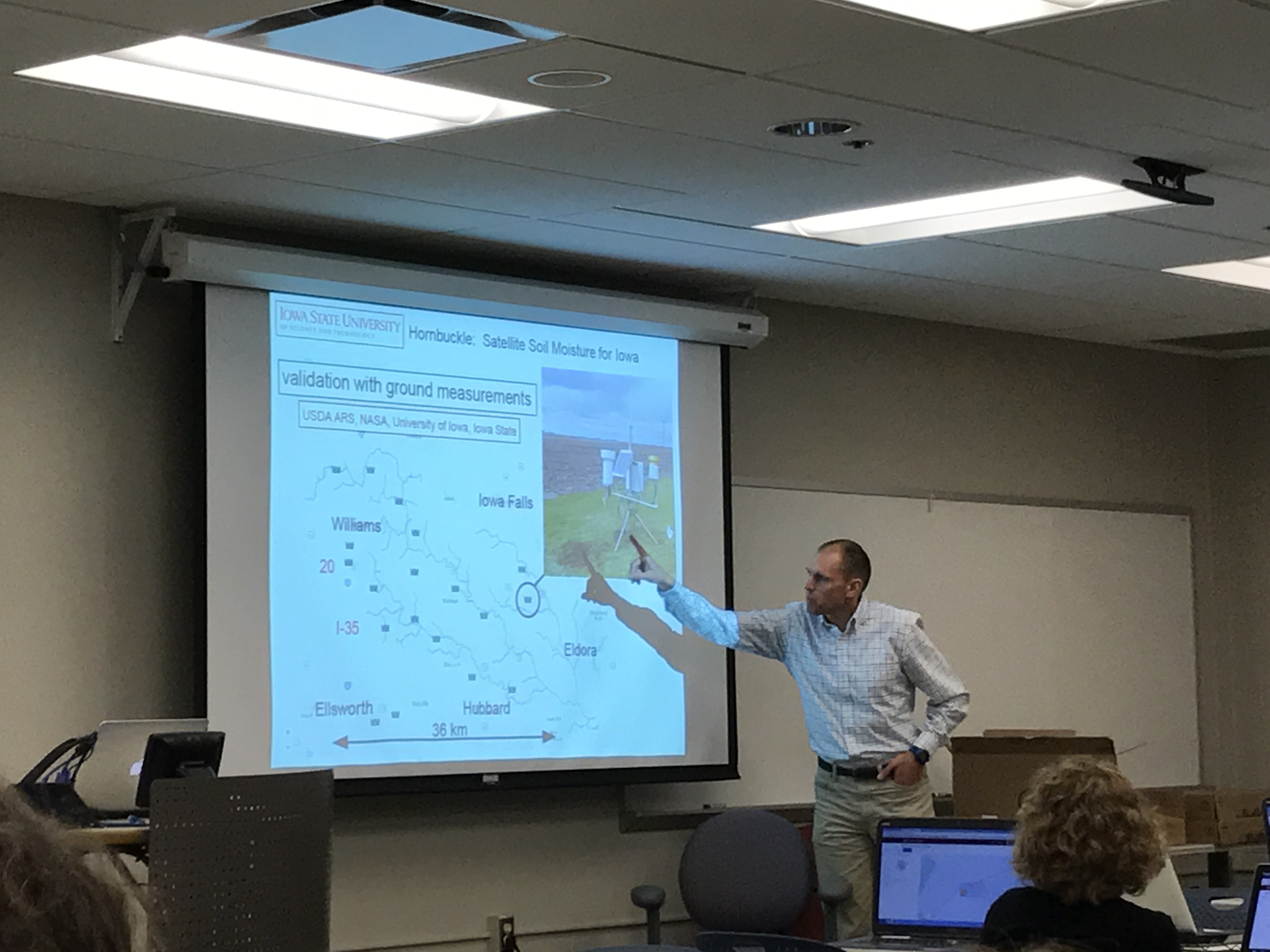
  • Dr. Brian Hornbuckle shared with us about his research observing the earth with microwave satellites and ground sensors. If your are interested in learning more about the SMAP (Soil Moisture Active Passive) satellite, NASA has a free webinar series (5 hour-long sessions) available through their Applied Remote Sensing Training (ARSET program).   img_7742

Earth Observation Day is here!

Happy Earth Observation Day!

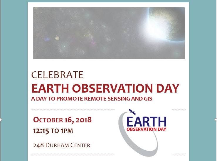
earth-ob-day-logo

We will be celebrating the day by having a mini-mapathon followed by pizza and an earth observation research talk by Dr. Brian Hornbuckle.  Dr. Hornbuckle will be discussing his work with the satellites SMAP (Soil Moisture Active Passive-US) and SMOS (Soil Moisture and Ocean Salinity- European) and ground sensors to determine soil moisture across Iowa.

If you have time for some fun today consider playing the AmericaView Remote Sensing Imagery Game!