One way to celebrate World Water Day is to learn more about water and sanitation and how water quality and quantity vary by nation. The United Nations has a powerful tool called UN Water that provides an interactive map with snapshots of each country with a ranking of various water quality and water treatment issues.
In the United States, we are fortunate that a large majority of the US population has a safe, sanitary source for drinking water and that wastewater is safely treated. This is not the case everywhere.
Another way to celebrate World Water Day is to share the information that you learn with other people. Sharing knowledge is an important way to help spread awareness of the need for access to clean water. You can also share this information through social media.
Key messages for World Water Day 2025
Glaciers are melting faster than ever. As the planet gets hotter due to climate change, our frozen world is shrinking, making the water cycle more unpredictable and extreme.
Glacial retreat threatens devastation. For billions of people, meltwater flows are changing, causing floods, droughts, landslides and sea level rise, and damaging ecosystems.
Glacier preservation is a survival strategy. We must work together to reduce greenhouse gas emissions and manage meltwater more sustainably for people and the planet.
Annually, the United Nations celebrates March 22nd as World Water Day. World Water Day celebrates water and raises awareness of the 2.2 billion people living without access to safe water. The day is about taking action to tackle the global water crisis, and remembering what a vital role water plays for all of humanity. This year, the theme of World Water Day is “SAVE OUR GLACIERS,” with a focus on glacier preservation. Therefore, no matter where we live, glaciers are critical to our water future.
“I don’t live near a glacier. Why should I care about glaciers?”
Glacier Facts: 70% of the Earth’s fresh water exists as snow or ice. Around 10% of the Earth’s land area is covered by glaciers or ice sheets.
Glaciers are part of the “cryosphere” which impacts every living being on the planet. The word “cryosphere” originates from the Greek word ‘kryos’ for frost or ice cold. The cryosphere extends across the globe and can appear seasonally (like snow in Iowa) or be permanently present in most parts of the world. The snow, glacier, permafrost, and frozen ground are significant storage and sources of freshwater, sustaining ecosystems and supporting livelihoods in and far beyond the regions where these are located. While you watch the video below you will learn about the cryosphere and how it’s changing.
Undeniably, all living beings depend directly or indirectly on the cryosphere. For example, as all major rivers originate from mountains, the mountain cryosphere plays an important role in providing and regulating freshwater resources for around half of the world’s population. Furthermore, alterations and loss of critical snow and ice are increasing the risk of other hazards.
The state of cryosphere is also a useful indicator for climate variability and change. Therefore, improved monitoring is critical to understand Earth’s weather, climate, and water cycles. The cryosphere, its changes, and its impacts have received increased attention in recent years, creating a demand for authoritative information on the state of the world’s snow and ice resources.
As shown above in the video, glaciers are extremely important to help regulate the earth’s temperature. Glaciers, snow, and ice reflect much of the sun’s radiation into space (keeping those areas cooler), unlike the bare ground or open ocean water, which absorb the radiation (making them warmer). Glaciers also store freshwater and are an essential part of the water cycle.
In today’s lesson, we are examining water use and water quality. Satellite imagery helps scientists to better understand the changes in the environment. Examine the images below of the Aral Sea; the left image is from April 10, 1986, and the right image is from June 5, 2024. The water loss between the two images is striking. Once, the Aral Sea was the fourth-largest lake in the world; however, the Soviet Union diverted two major rivers to irrigate farmland (human water use), cutting off the inland sea from its water source in the 1960s.
What a difference 35 years can make!?!
Images from the lesson
We continue our odyssey, exploring the lessons of the 2024 Earth Observation Day poster, “Earth Science Everywhere.“ The lesson fulfills the NGSS MS-ESS3-3 standard. Students will examine how humans impact earth systems through water use and quality. Human activities can significantly alter the biosphere, sometimes damaging or destroying natural ecosystems. Changes to Earth’s environment can have different impacts (negative and positive) on other living things. Humans can perform activities and invent technologies to mitigate or prevent negative impacts on the Earth.
The Aral Sea is located in western Asia in the counties of Turkmenistan, Uzbekistan, and Kazakhstan.
After discussing the images, students will be asked to read an article from the NASA Earth Observatory website: “World of Change: Shrinking Aral Sea,” to learn more about what caused this water loss and view a time-lapse video of the shrinking sea. Next, students will have a chance to use Google Earth to investigate the shrinking of the Aral Sea with measurement tools and various years of imagery and create their own time-lapse videos as time permits. After that, as the lesson wraps up, students will learn about environmental protection careers. Finally, an online game or printable quiz is available to test students’ comprehension of the main topics of the lesson.
Scientists have been using satellite imagery to track the deforestation of the Amazon rainforest for several decades. The clearing of the rainforest has changed over time, both in its pace and its location. For two decades, beginning in the 1990s, agriculture, forestry, and mining development proceeded rapidly. Satellite-based forest monitoring has enabled successful enforcement of forestry management practices, where such practices are applied. The Landsat image pair on the front of the Earth Observation Day poster shows the change in land use that occurred between 2001 and 2019, when palm oil plantations replaced rainforest in Peru. Illegal forest clearing is constantly adapting to new monitoring practices, and is still occurring across the region. Satellite imagery helps scientists and governments to monitor shifts in deforestation and develop new deterrence strategies.
Image 1: What’s going on in these pictures? Images from the lesson plan
This is a great lesson for teaching students how satellite images can show the impact deforestation can have on a community. The lesson is broken into two sessions. The first session is focused on engaging students with satellite imagery. The first exercise asks students to look at two images and explain what is going on (see Image 1). The images are showing the landscape change associated with rainforest deforestation. Next students get to use the Landsat App, an online browser based tool (seen in Image 2), to complete a lab exercise to notice change in the Amazon rainforest of Brazil in Ariquemas over a forty-year period. Finally, to end the first session, students will use their new knowledge about satellite imagery to put a series of images in order on a timeline.
In the second session, students read an article about Amazon deforestation. Reading the article brings further meaning to the lab and image analysis that the students did in session one. Next, students have an opportunity to explore careers related to forestry and environmental planning. To wrap up the lesson, students take a quiz about Amazon deforestation related to the previous activities. This powerful lesson illustrates the importance of having access to the US Landsat satellite imagery program, a free, expansive (over 50 years), historical and ongoing record that helps scientists and government officials monitor deforestation and help guide policymaking to preserve natural resources.
Earlier this year, IowaView Staff member, Amy Logan, created a new piece of art for IowaView’s Iowa as Art Collection. The piece is called Cautionary Waters. It is based off an IowaView blog post, Change Over Time – Flooding on the Landscape (NW Iowa), a series of IowaShots images that were released in 2022. This piece revisits those images and includes new Landsat images from the 2023 drought and 2024 flood.
Cautionary Waters: Visons of the Past, Planning for the Future
How are we planning for the future in our communities? Cautionary Waters is a piece of artwork that asks us to think about this question.
The piece includes four Landsat satellite images of the same area of Northwest Iowa taken in 1990 (a normal year, upper left), 1993 (a year of memorable flooding in the Midwest, upper right), 2023 (a year of drought, lower left), and 2024 (another year of memorable flooding, lower right). White areas in these images are water. These two flood events were roughly 30 years apart.
The piece asks viewers to reflect: when we are planning, do we consider only typical conditions, or does our planning account for extremes, flood or drought as well? Are we willing to allow development in the floodplain and take the loss when the flood comes, or perhaps make a harder choice to not develop there and lose out in the short-term? Also, in cases when we choose to develop in lower elevation areas, what kinds of zoning and development are we allowing in these areas?
The piece is currently on display as part of the “Do Justice” art exhibit at Harvest Vineyard Church, in Ames, Iowa, which runs through the end of January 2025. After that the piece is available for loan on a first come, first serve basis. If interested in displaying the piece or other Iowa as Art pieces, please contact, Amy Logan, IowaView State Coordinator for additional details.
Well, it’s Water Wednesday. Today’s Landsat highlight is a time lapse video (2007-2017) showing the effect of a 2010 dam breach on the water level of Lake Delhi located in Delaware County in eastern Iowa. Notice the dramatic decrease in water and the exposure of large sandbars and the refilling of the lake as the dam is restored.
This year we are celebrating 50 years of the Landsat earth observing satellite mission. Landsat data helps us observe changes in our communities and environment over time.
Today’s image shows an area in northwest Iowa between Spencer (Clay County) and Emmetsburg (Palo Alto County). The two images on the left are showing water levels in 1990 (typical year) and 2022 (recovering from a drought) compared to 1993 (heavy flooding) and 2008 (flooding). Notice the swollen streambanks and flooding along water bodies in the right images.
This year we are celebrating 50 years of the Landsat earth observing satellite mission. Landsat data helps us observe changes in our communities and environment over time.
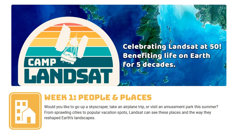
To celebrate the Landsat Golden Jubilee, consider taking a virtual visit to Camp Landsat!This summer Camp Landsat is celebrating this exciting anniversary with 5 weeks of programming, celebrating the 5 decades of Landsat’s continuous mission. This week the theme is People and Places.
Enjoy and explore many activities from Camp Landsat including:
It’s another Throwback Thursday. Saylorville Lake and Dam are located in Central Iowa northwest of Des Moines, Iowa. The Saylorville complex was built to help with flood control and as a drinking water source for surrounding communities. At normal levels, the Saylorville reservoir stores 21.1 billion gallons of water with capacity at flood levels to hold 204.1 billion gallons of water.
Landsat 1 – 1976Landsat 3 – 1980
Below are several resources if you are interested to learn more about this important structure north of Des Moines:
This year we are celebrating 50 years of the Landsat earth observing satellite mission. Landsat data helps us observe changes in our communities and environment over time.