Category Archives: Humanitarian Mapping

Coming Soon! Earth Observation Day – Thursday, October 12, 2017
You are invited to the annual Earth Observation Day celebration in Durham 248 from 11am to 1pm on Thursday, October 12, 2017.

From 11am-12pm, we will be having a mapping event focused on humanitarian mapping projects in areas hit by recent natural disasters.  Bring your lunch and stay from 12-12:30, we will have a guest lecture from Daryl Herzmann about the Iowa Environmental Mesonet, a website which collects and displays environmental data for Iowa from various sources including Iowa Flood Center, Iowa Department of Transportation, National Weather Service, and Iowa State University – Agronomy. Read more about the Iowa Mesonet here: https://www.extension.iastate.edu/article/iowa-environmental-mesonet-data-used-thousands-every-day.

Please come and go as you are able. If you are interested in joining us, please fill out the RSVP form (https://goo.gl/forms/SVLH4qhWDqJvfPD03) so we can plan for computer space and chairs. Please spread the word. Thank you, I hope you can join us!  

Start Your Future Here – Part II

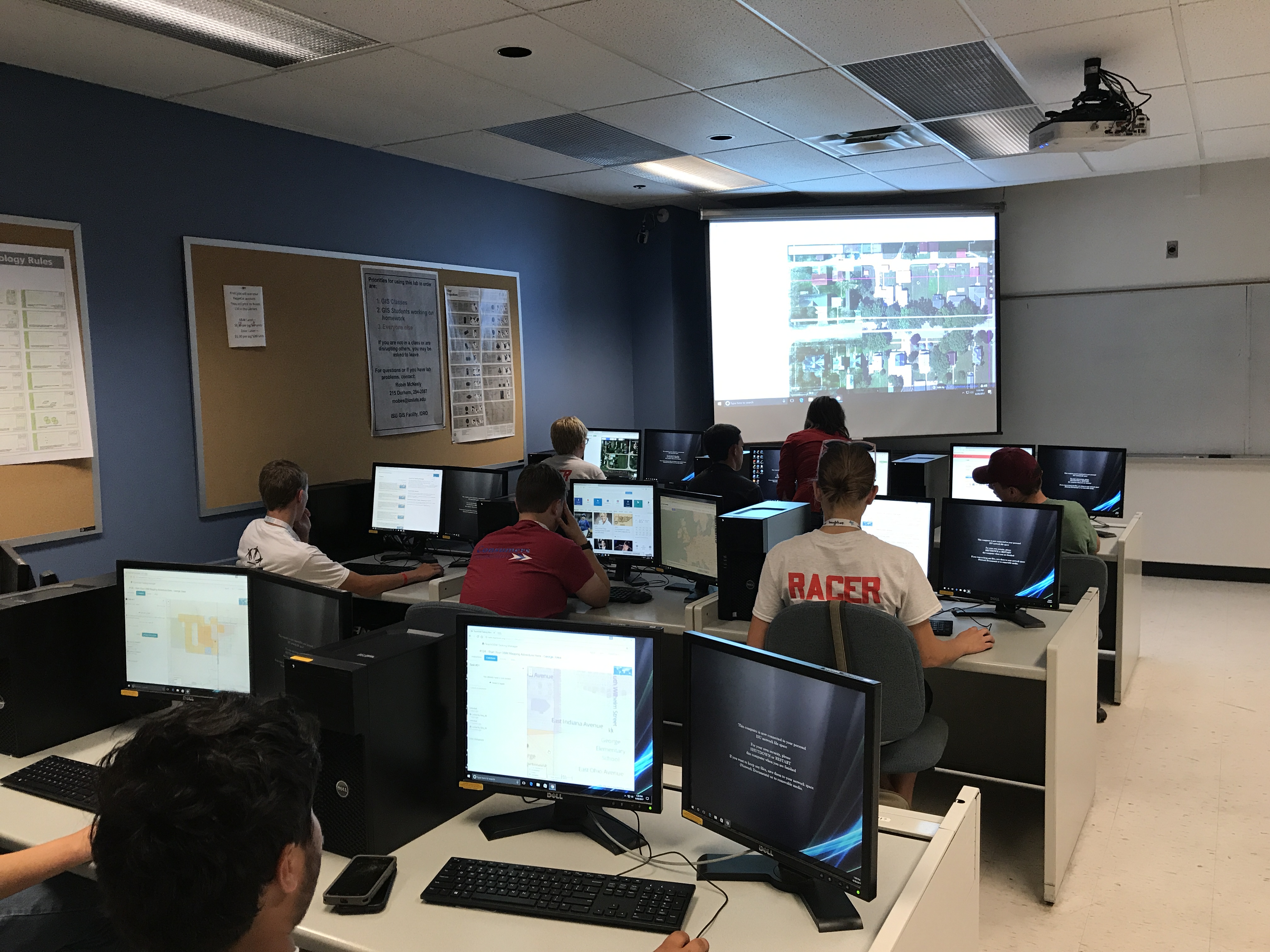
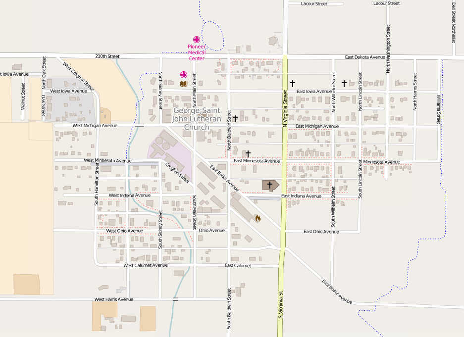
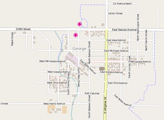
This post will describe the second workshop the ISU GIS Facility and IowaView hosted as part of the 2017 Iowa 4-H State Conference, “Start Your Future Here.”  The second workshop, “Start Your Open Street Map Adventure Here,” gave students a brief introduction to GIS and remote sensing as well as a short discussion of open street map and its interface. Then 4-Hers were asked to practice using the mapping interface through the TeachOSM application.  The group started by mapping a small northwest Iowa town, George.  As you will see from the screen shots, the 4-Hers made significant progress for this community, mapping over 400 buildings.  Comparing the before and after pictures, notice the large number of buildings added in the central and northeast parts of town.

George, Iowa – Before 4-H Workshop

George, Iowa – After 4-H workshop 6/29/2017

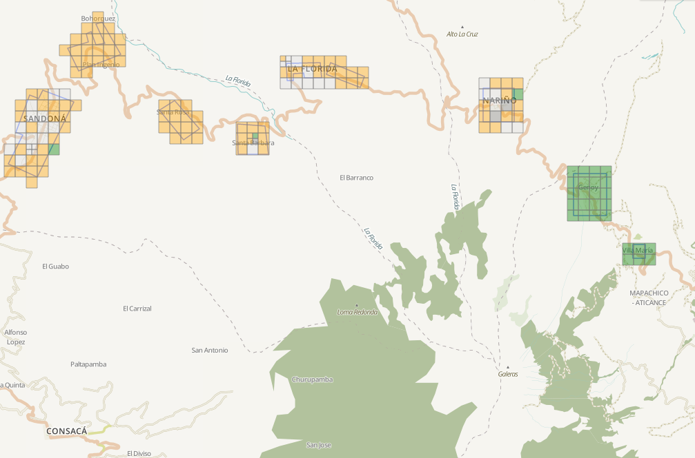
For the second activity, students worked on a project sponsored by the United States Geological Survey (USGS)’s Volcano Disaster Assistance Program (VDAP) to help map communities near active volcanoes.  the 4-Hers mapped roads, buildings, and rivers in several small communities near Mt. Galeras in Columbia as part of their emergency preparedness. According to project description, “Galeras is an active Andean stratovolcano that is located in the Narino department, near Pasto (population: 450,000 Colombians). Galeras is the most active volcano in Colombia and is known for regular eruptions, the most recent occurring in 2000, 2002, 2004, 2005, 2007, and 2010.” The students did a great job mapping with both projects. Between the two projects over 500 nodes were created and over 3,000 nodes were created. Hopefully these activities will lead to future mapping interest.
How will you be celebrating this Martin Luther King Jr. Day?

“Life’s most persistent and urgent questions is: what are you doing for others?”

– Dr. Martin Luther King, Jr.


The ISU GIS Facility would like to invite you to spend part of your day with us.  


The ISU GIS Facility, in cooperation with IowaView, will be hosting a Martin Luther King, Jr. Day of Service Event on January 16th, 2017 in Durham 206. The event will take place from 10am to 1pm.  Attendees will participate in a worldwide volunteer effort called Open Street Map – (OSM), a crowd-sourced map of the world that is open source, free and available for any use. OSM provides online web mapping tools for users to map roads, buildings, water bodies and features of interest using satellite imagery as a base.

Past projects have worked with humanitarian groups like the Red Cross and Doctors Without Borders using OSM to coordinate mapping in areas with a critical need for new maps, past projects have included areas in western Africa fighting Ebola, hurricane affected areas in the Philippines or other emergencies or disasters around the world.

*No previous experience is necessary to participate – anyone can join us!*

If you are interested in participating in the ISU OSM Mapping Party, or have questions, please send an email to iowamapgive@gmail.com or visit https://www.iowaview.org/isu-osm-mapping-party-details/.


Dive into the OSM World of Mapping – 4-H youth mapping event

On June 30, 2016, IowaView staff hosted a mapping workshop as part of the annual Iowa 4-H State Conference. There were 7 students in attendance. The workshop included an introduction to GIS/remote sensing, a summary of a current GIS Facility project, and two hands-on mapping projects in George, Iowa and Mount Singabung, Indonesia.

For various mapping workshops, IowaView has been adopting small towns (Leon, Ogden) across Iowa to continue adding to and filling in the Open Street Map basemap for Iowa. George, Iowa is a small town with a population of 1,055 located in Lyon County in northwest Iowa.

IowaView choose to focus our second project on Mount Singabung, Indonesia which was identified as a top priority by the United States Geological Survey – Volcano Disaster Assistance Program. Sinabung is an active stratovolcano that has had consistent activity since 2010. The volcano poses a significant risk to those living in close proximity. Recent activity includes eruptions in 2010, 2013, 2014. The latest eruption occurred May 2016, killing 7 Indonesians.

The group made over 2,500 edits during the workshop.

Below are before and after screen shots of George, Iowa.

George4-H_ 6_30_2016_closeUp

George7_13_2016-Closeup

Results from MLK Jr. Day MapGive Event

On January 18, 2016, IowaView hosted our second annual mapping party to celebrate the Martin Luther King Jr. Day of Service. Over the course of the party we mapped over 1,500 ways (linear features and boundaries) and over 10,000 nodes (points). Our efforts were primarily focused on the town of Ogden, Iowa and Raung, East Java, Indonesia, an area identified as high priority by the Volcano Disaster Assistance Program.

Below is a link to a story map showing the progress we have made mapping Ogden, Iowa over the last two mapping events we have hosted.  http://arcg.is/1VNfIJH

2nd Annual MLK Jr. Day Mapping Party!!!

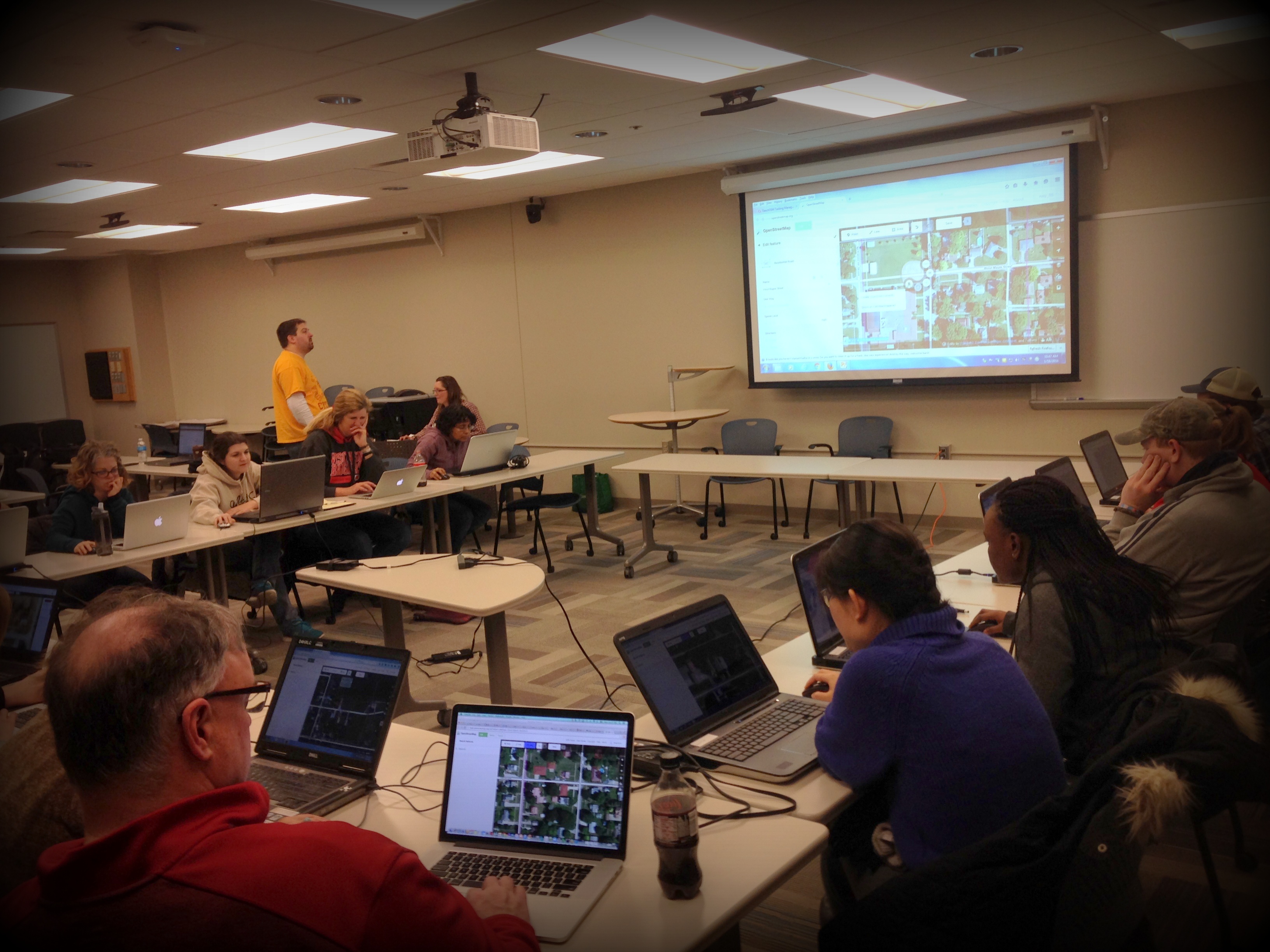
On January 18, 2016, the IowaView staff hosted the 2nd Annual OSM/MapGive Mapping Party at ISU’s Durham Center on Martin Luther King Jr. Day. There were 20 mappers that were able to join in the day of service on site and several that participated remotely. For the first part of the session participants mapped a small Iowa town and then for the second part of the session participants spent time mapping areas around Raung Volcano, in East Java, Indonesia as part of a collaboration with Volcano Disaster Assistance Program.

IMG_6013_edit