Category Archives: Lesson Plan

Have you met Lindsey the GIS Professional?

A few years back, Tyler Danielson, a GIS professional at Bolton and Menk, Inc. wrote a book called Lindsey the GIS Professional to help describe working with a geographic information system (GIS). In the book, Lindsey explains the information needed to create a map and how to collect it. Then she shows how to take that information to make a map of her favorite park. It gives readers a good introduction to the basics of GIS. Click here to read the book online: https://www.bolton-menk.com/books/lindsey/Lindsey.html.

Since the publication of the book, there have been several other companion resources produced. They can be found at www.LindseyLovesMaps.com:

  1. At Home Activities – a maze, dot connect, data collection activity, analyzing data activity, drawing maps, and map coloring pages.
  2. Making Maps with Lindsey – guides students through mapping their own data: https://storymaps.arcgis.com/stories/1aedae2683d740ad9736752ab5768ef7
  3. Teacher Resources – This includes a teacher guide and shows how the book, Lindsey the GIS Professional matches up with English, Social Studies and Science standards.

The coolest thing is that this story is based off of a real LINDSEY!

from https://learn.arcgis.com/en/esripress/lindsey/

USGS Earthshots: Satellite Images of Environmental Change

The USGS has produced an amazing collection of images (also available as trading cards!) that show Earth’s change over time. The Earthshot collection has a wide variety of examples of change over time including:
– natural phenomena changes (glaciers, deserts,)
– social change (city growth,)
– human interaction with the natural world (mining, deforestation, agriculture,)
– natural disasters (hurricanes, tornado damage, flooding.)

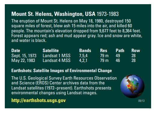
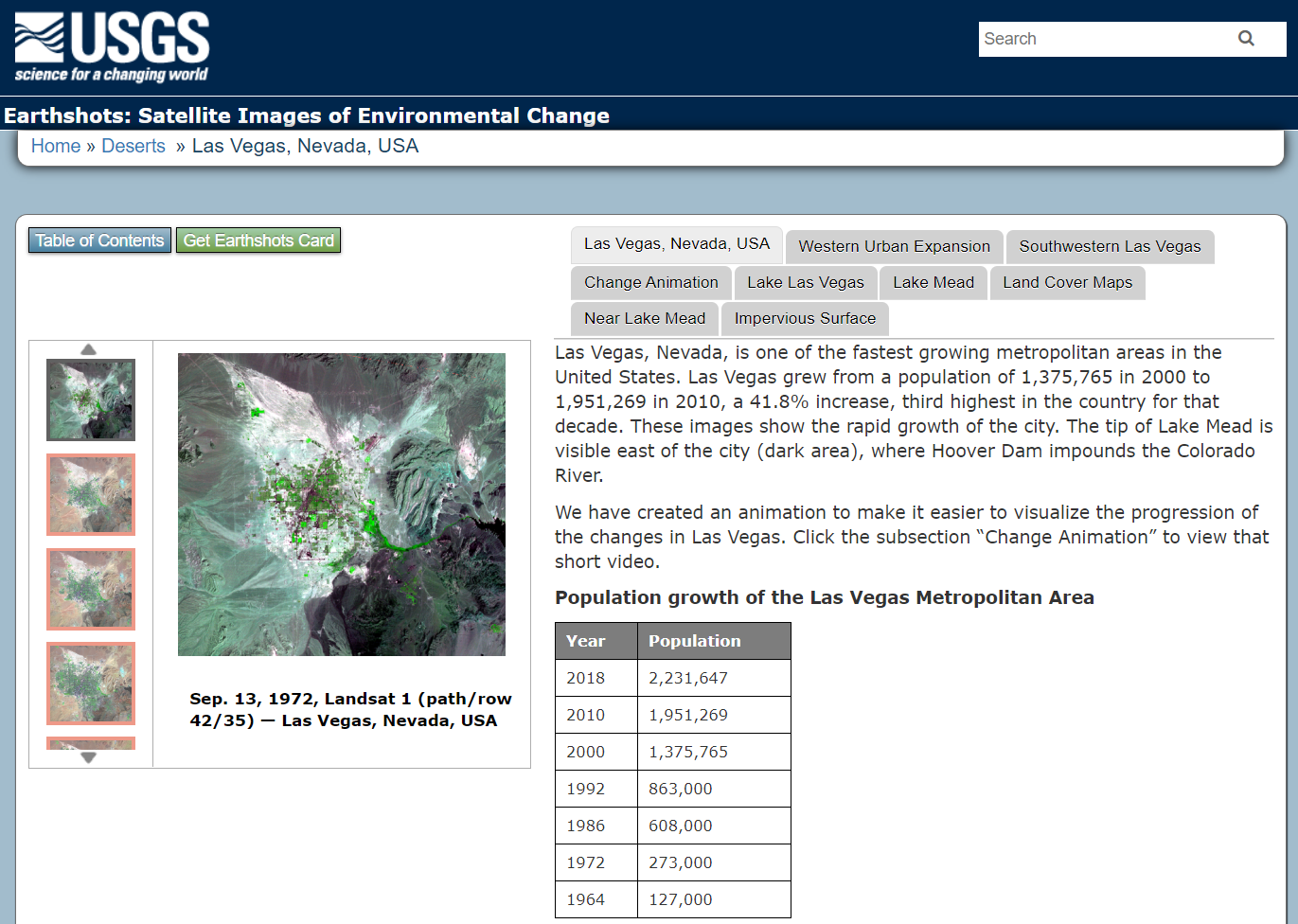
Below are two examples of the trading cards, Mount St. Helens pre/post volcanic explosion and Las Vegas, Nevada population growth over time.

If you view a location on through the browser you will get about 5 images you can review as well as context about the images.

Other Resources: Tracking Change Over Time (teacher guide): https://pubs.usgs.gov/gip/133/pdf/tracking-packet_web.pdf
Lesson Plan – Investigating Deforestation Throught An Earth Systems View Using Landsat: https://mynasadata.larc.nasa.gov/lesson-plans/investigating-deforestation-through-earth-systems-view-using-landsat

IowaView has trading cards available. Please contact Amy Logan for more information.