Category Archives: Outreach

Start Your Future Here – Part I

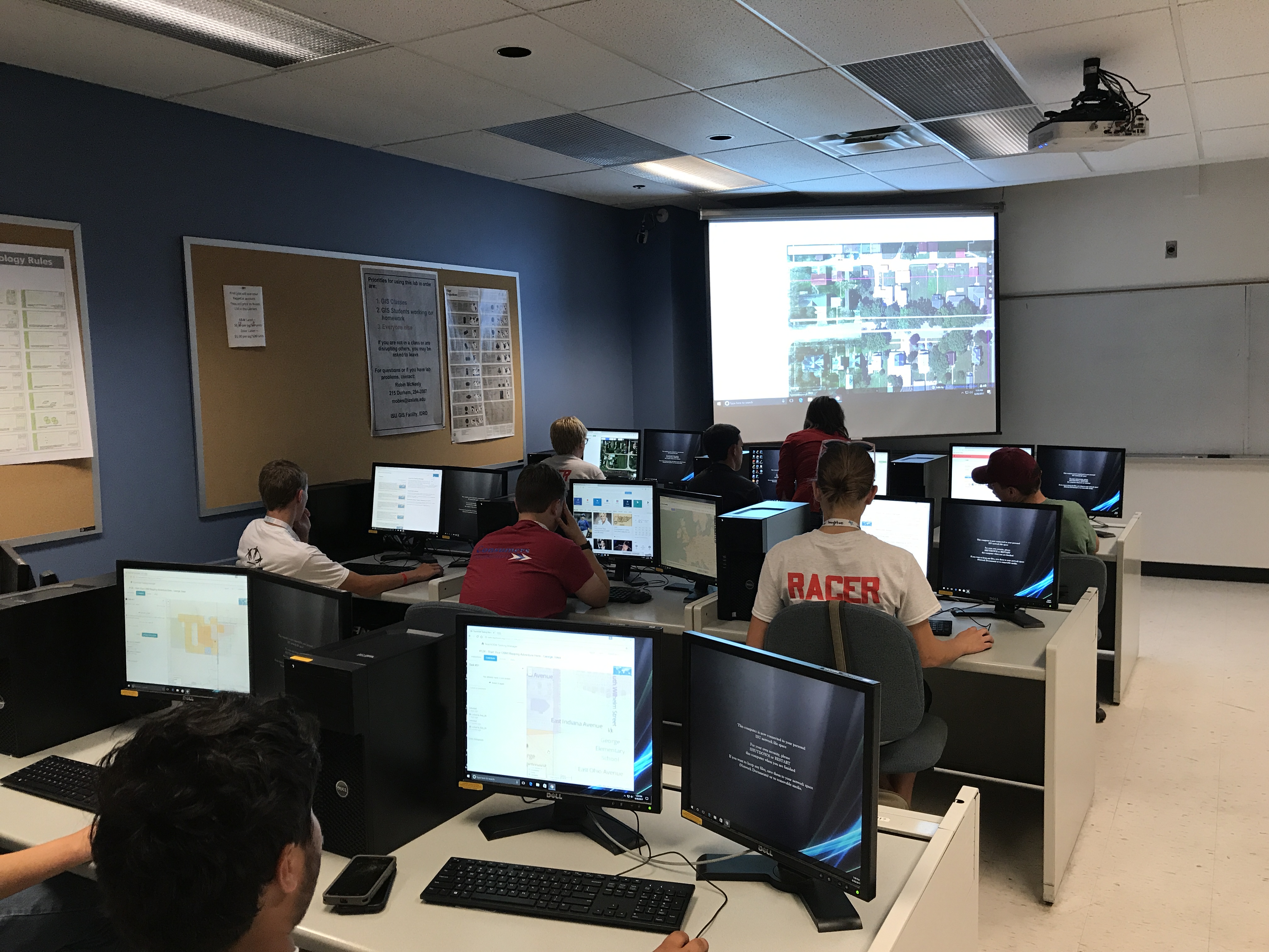
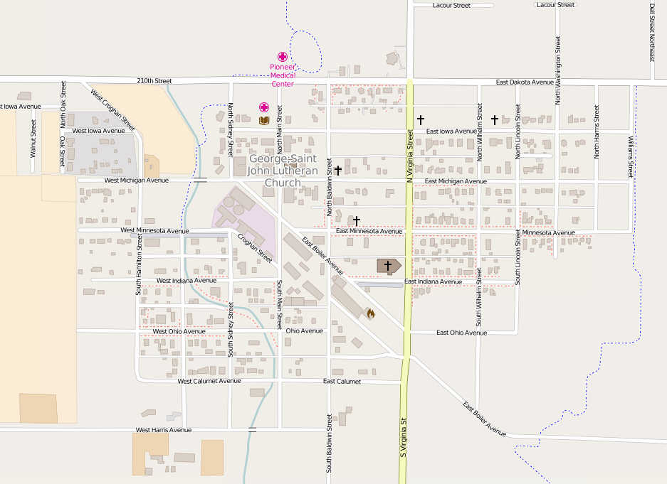
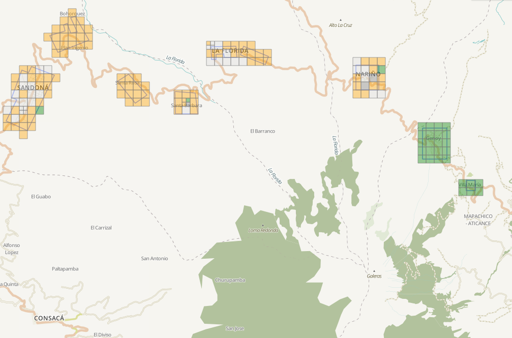
Recently, the ISU GIS Facility, in partnership with AmericaView, hosted two workshops as part of the 2017 Iowa 4-H State Conference, “Start Your Future Here.”  This conference is a good opportunity for students to try something new.   This was the third year that IowaView has participated in the 4-H conference. For many 4-Hers, this was their first experience with mapping and GIS. We offered two different workshops this year. One workshop was focused on GIS and mapping using the ESRI platform and the other workshop was focused on learning to use Open Street Map for assisting with humanitarian projects.

The first workshop, “Start Your Mapping Adventure Here,” was an introduction to GIS and mapping.  During the session students were presented with the basics of GIS and creating a map.  Then 4-Hers were able to complete several hands-on project to illustrate various mapping products.  
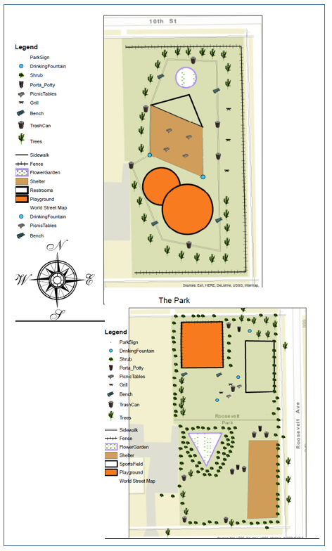
Examples of Park Map Designs

Students used ArcGIS Online to interact with and make sense of a news article about the migration crisis from Tunisia to the Italian island of Lampedusa. They learned how to use tools in ArcGIS Online to answer question related to the article. Some of the tools they explored included the Find box to quickly navigate to places on the map, map notes to mark locations on the map, and how to change basemap imagery to reveal different facets of a place by examining topography and photography. This exercise was based on an exercise found in an ESRI teacher training: “Teaching with GIS: Introduction to Using GIS in the Classroom.”

Next participants were divided into small groups and tasked with using ArcMap desktop to create a map of a new city park which they were asked to design. Through this exercise students learned how to navigate desktop, edit and remove features and then create a map and map properties (legend, north arrow, title.)  See examples of their maps to the right. The idea for this exercise came from materials put out by the National 4-H Council as part of a 2013 National Youth Science Day: Maps and Apps Activities.  The exercise suggested having students manually create layers on paper but we wanted to infuse the activity with technology and introduce 4-Hers to ArcMap.  

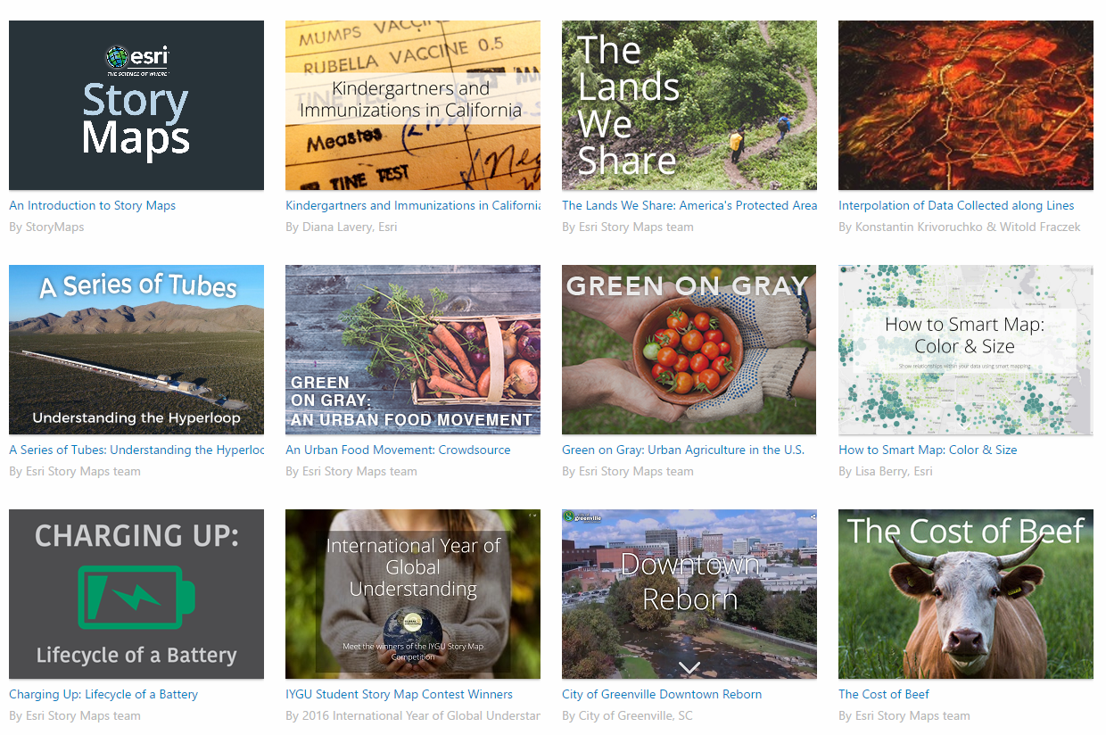
Finally, we explored several Story Maps from a very basic map to a multi-media interactive map. Here are two other great Story Maps examples showing to additional styles: the spyglass and cascade.   This gave the 4-Hers exposure to another mapping medium and possibly a way to display data for school projects or 4-H projects.

To learn more about the 4-H conference, check out this link to an article from the Alliance for Iowa State: State 4-H Conference Offers Teens a Complete Iowa State Experience, 6/28/2017.    
Earth Week 2017: Story Maps

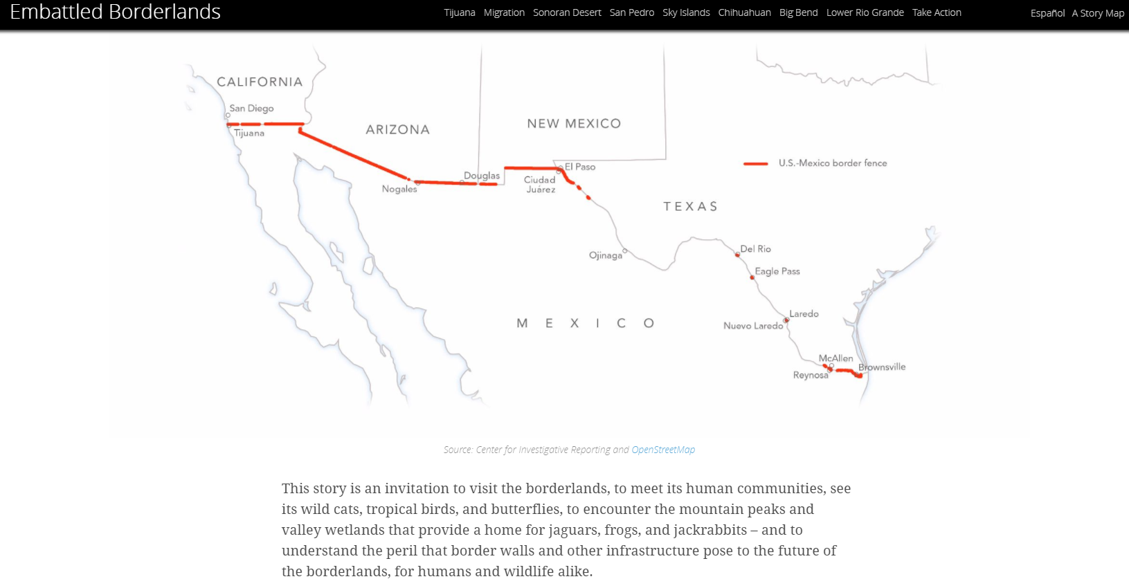
Another way to connect with our world this Earth Week is to experience an ESRI Story Map.  Story maps use maps, map animations, photographs, sounds, and video to tell compelling stories on all sorts of topics.  The lastest maps on the Story Map website are beautiful and interactive applications for storytelling.  

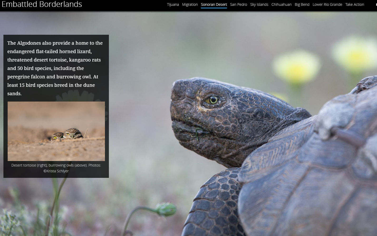
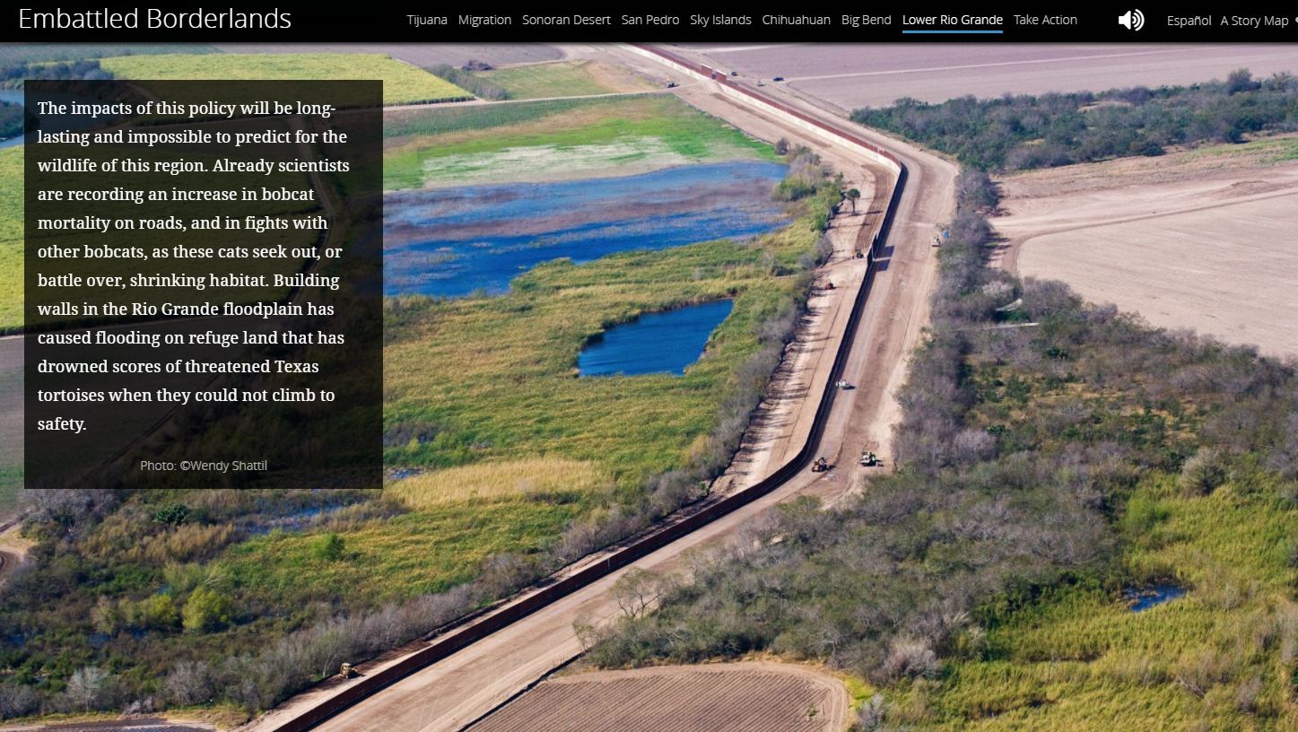
This month’s featured Story Map is called Embattled Borderlands.  It begins by asking the question, “Will the border wall strike a fatal blow to one of the most imperiled wild regions in North America?”  It tells the story of the US-Mexico border, taking participants to various locations along the border. The Story Map explains the unique ecosystems and creatures located along the border and how creating an intensified artificial barrier in this region could potentially impact these areas. There are also a series of vignettes about how human intervention has already had a negative impact on the land.  This Story Map is filled with brilliant photography.

To experience this Story Map for yourself visit: https://storymaps.esri.com/stories/2017/embattled-borderlands/index.html


Earth Week 2017: Adopt the Planet

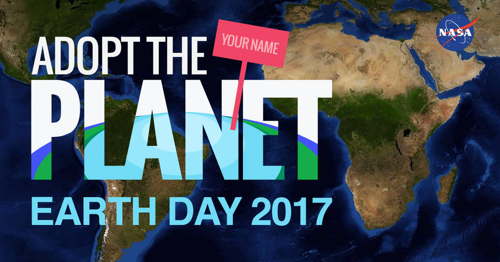
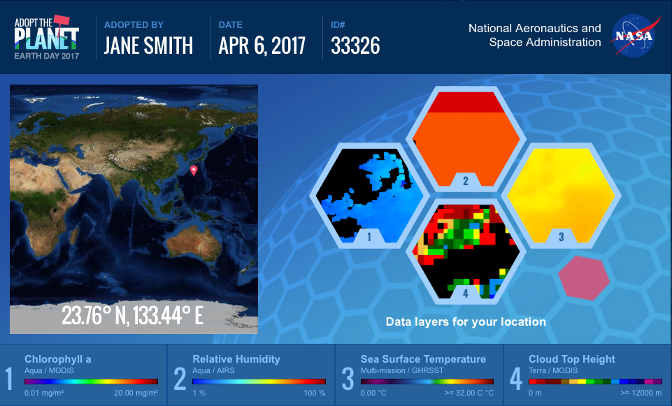
Happy Earth Week! This year NASA has created unique opportunity just in time for Earth Day for interested participants to “Adopt the Planet.”  There are 64,000 locations available from adoption.    

Credit: NASA https://www.nasa.gov/feature/goddard/2017/nasa-celebrates-earth-day-by-letting-us-all-adopttheplanet

When you visit the website you can fill in your name and then receive a certificate with your adopted patch of Earth.  The adoption certificate gives you specific coordinates of your location on our globe as well as satellite data layers relevant to your piece of Earth.  You can use WorldView, NASA’s web-based satellite viewing application, to explore your adopted point over time and with different layers.   

I received a point on the coast of Antarctica.  It was cool to explore a part of our planet that I don’t normally think about on a daily basis. With the WorldView application I was able to see how it changes over the seasons from solid ice to open ocean. WorldView even has the ability to animate these observations.

This outreach event allows us the appreciate our planet from space and helps us learn about some of the space instruments that are continuously monitoring and circling our planet.

Credit: NASA https://www.nasa.gov/feature/goddard/2017/nasa-celebrates-earth-day-by-letting-us-all-adopttheplanet

Iowa BMP Mapping Project data now available!

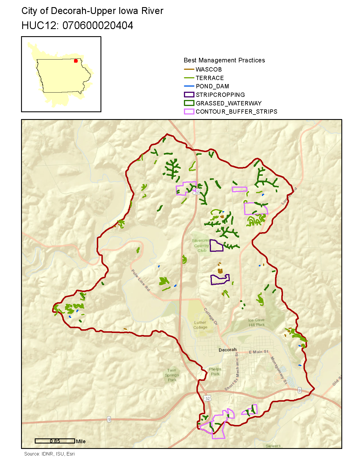
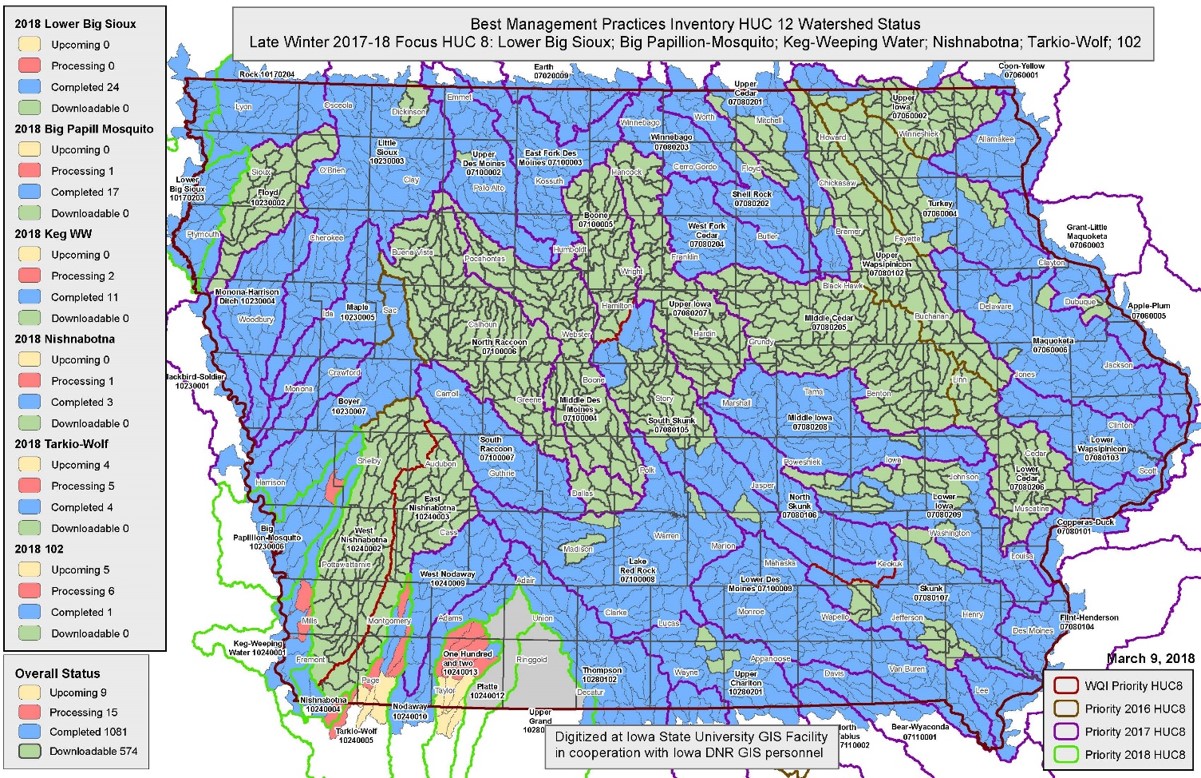
The ISU GIS Facility recently rolled out a new website (http://www.gis.iastate.edu/gisf/projects/conservation-practices) that allows users to download completed data sets from the Iowa BMP Mapping Project. Each file geodatabase contains 6 mapped conservation practices: contour buffer strips, grassed waterways, stripcropping, pond dams, terraces, and WASCOB (water and sediment control basins.) The website also allows visitors to preview the data available in the file geodatabases by downloading a pdf.  Please use this valuable resource.


An example of the pdf output


Have you visited Earth as Art yet?

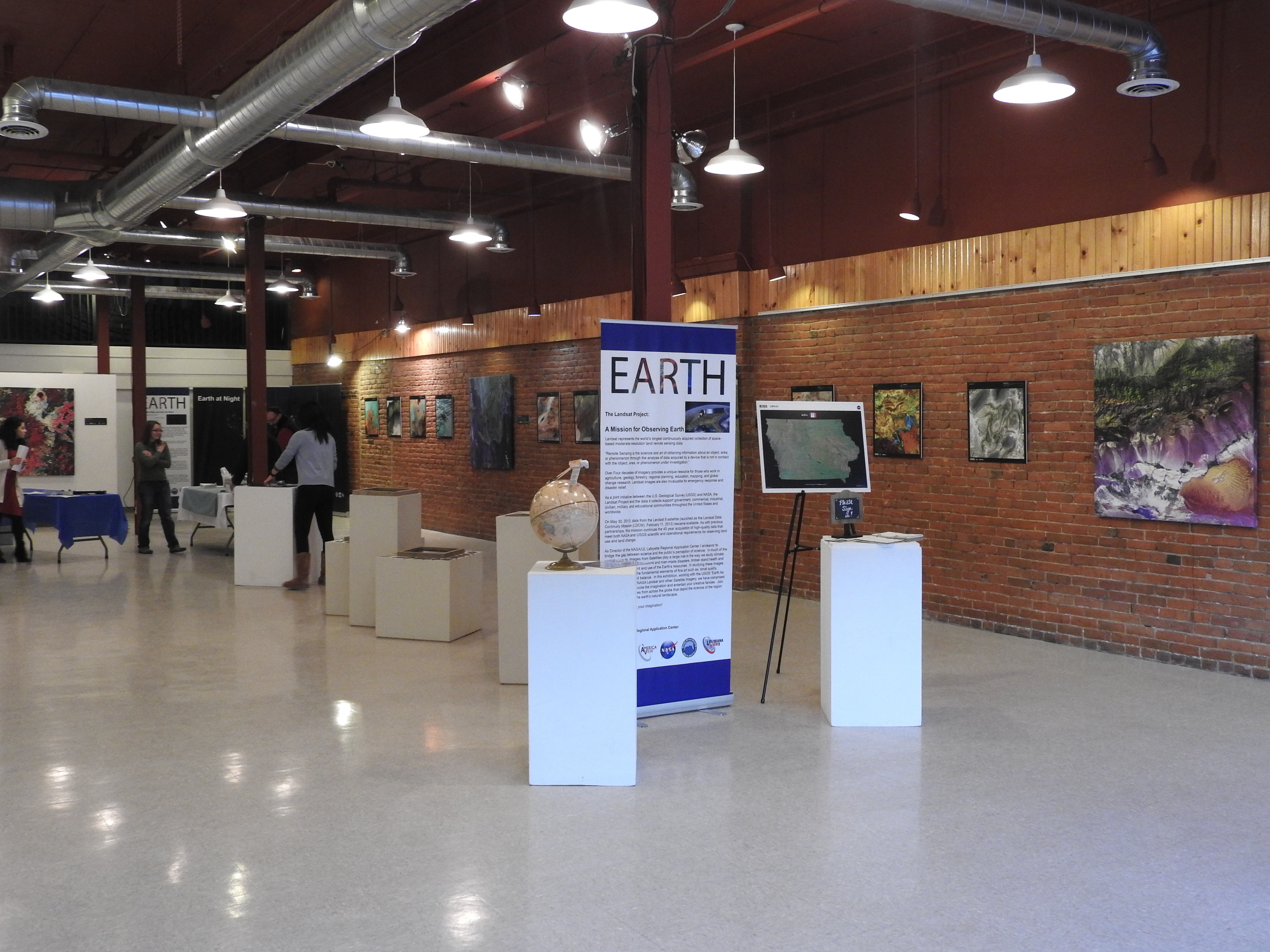
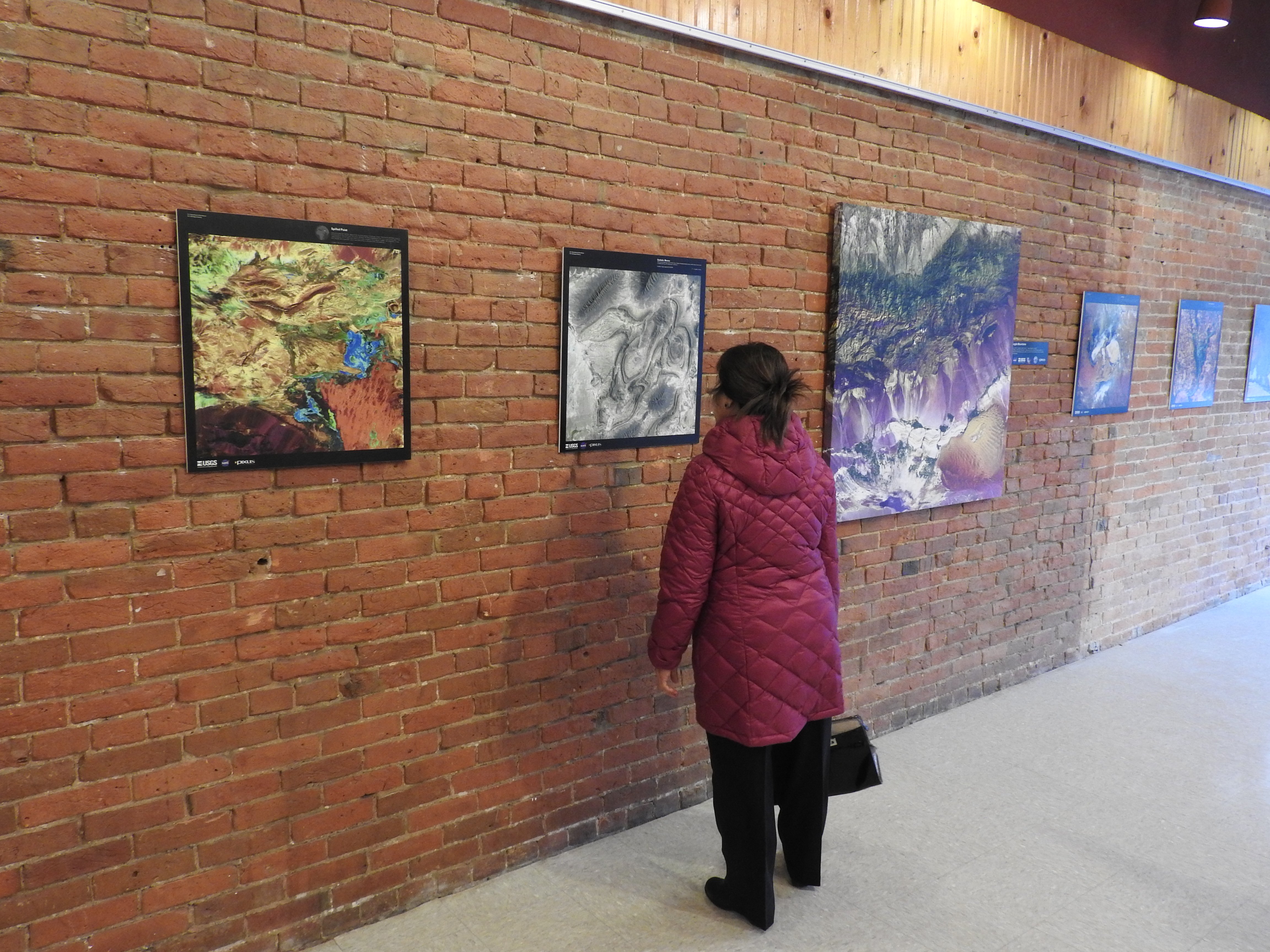
Don’t miss your chance. This is a unique opportunity to see a melding of art, science, geography, and technology here in the Ames community.  Come see some great art.  

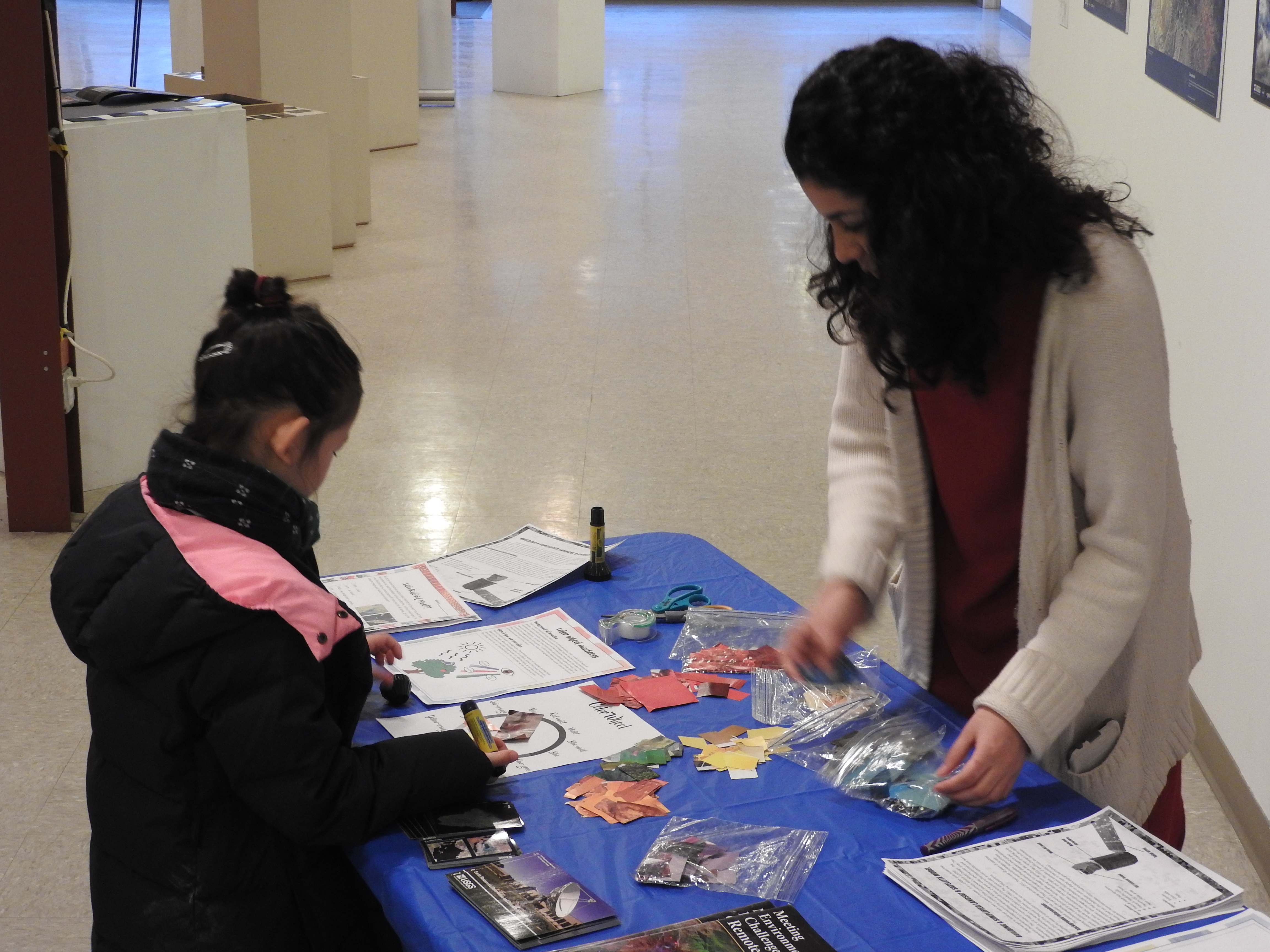
Kids and adults can stop in to make a color wheel or model of a Landsat satellite or search the images to complete the scavenger hunt.  The exhibit is running through Sunday, February 26, 2017.

Hours:
Thursday 4-7 pm; Friday 2-5 pm; Saturday 11 am -5 pm
Sunday Feb 19 & 26, 2-5 pm

Read more about the exhibit HERE.

Earth as Art Exhibit opens!

The opening reception for the Earth as Art exhibit is on February, 2, 5-8pm. Several younger visitors were in attendance.  They created model satellites, color wheels, and searched the gallery to complete the scavenger hunt.  There was gallery talk at 6:30 pm by Brent Yantis, the LouisianaView director and the exhibit collection curator, he explained how the images were selected and shared some of his favorite images with us. 

There was a reception of crudites and cheese as well as a King Cake that was brought from Louisiana. The King Cake tasted like a cross between a glazed doughnut and a cinnamon roll, filled with chocolate and cream filling. LouisianaView and IowaView are part of the larger AmericaView, nationwide consortium for remote sensing education, research, and geospatial applications.

Please join us – Thursday, February 2, 2017

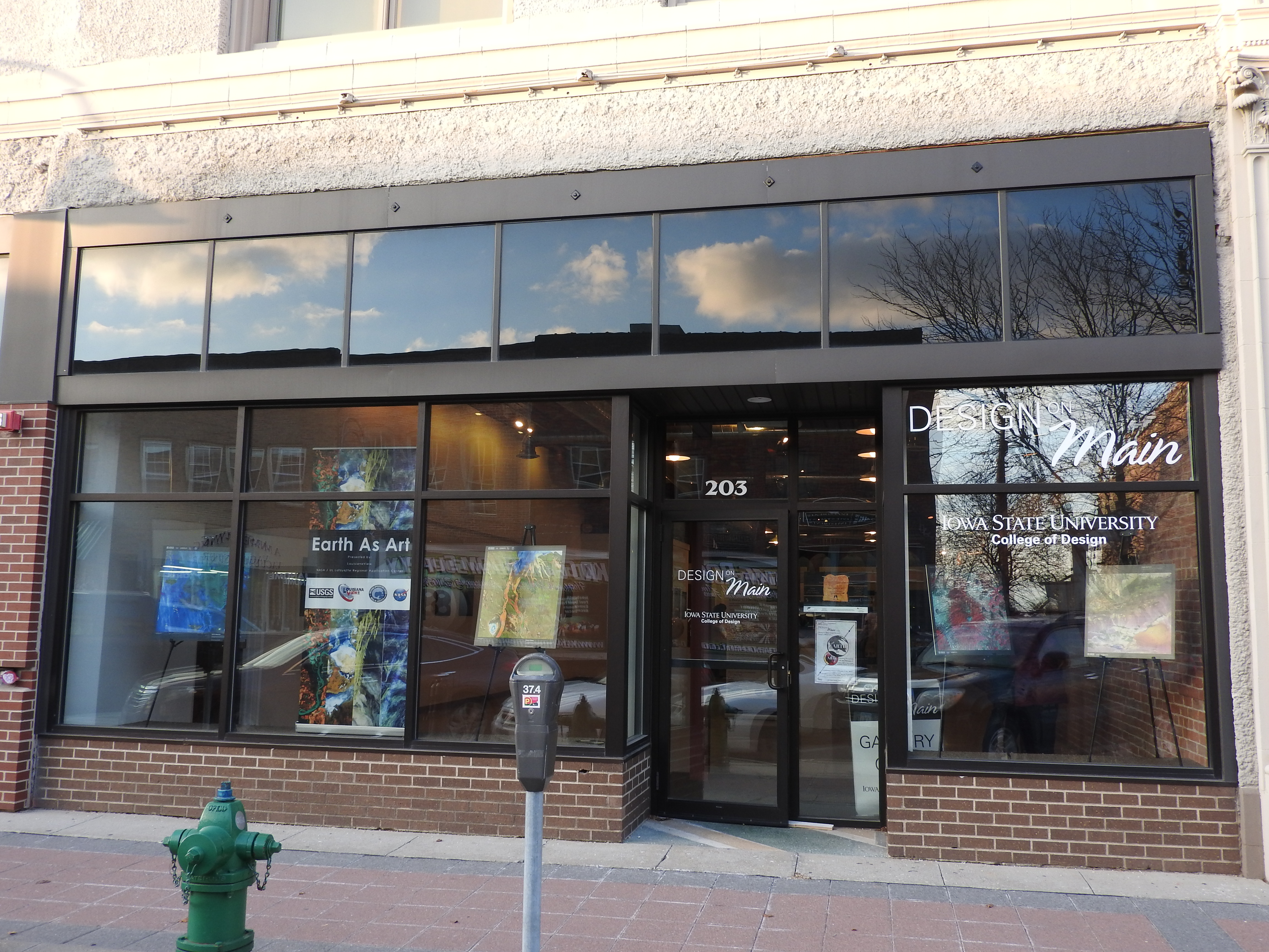
IowaView and ISU GIS Facility will be hosting an art exhibit in the Design on Main gallery in February.  It will be a unique exhibit that is a fusion of art and science – we hope that the exhibit will inspire viewers with beautiful images from around our planet and also provide a platform for education (satellite imagery, geography, earth science, physics, and art.)

The opening reception for the exhibit is on February, 2, 5-8pm. We are planning to have a gallery talk at 6:30pm by Brent Yantis, the AmericaView collection curator as well as refreshments. AmericaView is a nationwide consortium for remote sensing education, research, and geospatial applications. For additional details visit our Earth as Art exhibit page.

Don’t Forget to Register to do something Awesome (OSM)!


JOIN US THIS MONDAY, JANUARY 16, 2017 FOR the 3rd annual OSM MAPPING PARTY in Durham Center 206.

This is a fun service project.  Come meet some new people, do some good (mapping) and eat pizza!

MLK Jr. Day OSM Mapping Party Monday January, 16, 2017 from 10 am to 1pm, Durham 206 –

Please RSVP: iowamapgive@gmail.com.
Click here for more information
.

Earth as Art Exhibition – February 2-26, 2017

The ISU GIS Facility is bringing an art exhibit to Ames! Earth as Art features beautiful Landsat prints selected from the four Earth as Art collections. We are also producing some k-12 educational activities for our younger gallery visitors to enjoy. The opening reception for the exhibit is on February, 2.  We are planning to have a gallery talk by the AmericaView collection curator as well as refreshments. Gallery hours are: Thursday: 4 to 7; Friday: 2 to 5; Saturday 11 to 5.  We are also interested in scheduling additional hours by appointment, please contact amylogan@iastate.edu for more information.

We hope to see you there!


How will you be celebrating this Martin Luther King Jr. Day?

“Life’s most persistent and urgent questions is: what are you doing for others?”

– Dr. Martin Luther King, Jr.


The ISU GIS Facility would like to invite you to spend part of your day with us.  


The ISU GIS Facility, in cooperation with IowaView, will be hosting a Martin Luther King, Jr. Day of Service Event on January 16th, 2017 in Durham 206. The event will take place from 10am to 1pm.  Attendees will participate in a worldwide volunteer effort called Open Street Map – (OSM), a crowd-sourced map of the world that is open source, free and available for any use. OSM provides online web mapping tools for users to map roads, buildings, water bodies and features of interest using satellite imagery as a base.

Past projects have worked with humanitarian groups like the Red Cross and Doctors Without Borders using OSM to coordinate mapping in areas with a critical need for new maps, past projects have included areas in western Africa fighting Ebola, hurricane affected areas in the Philippines or other emergencies or disasters around the world.

*No previous experience is necessary to participate – anyone can join us!*

If you are interested in participating in the ISU OSM Mapping Party, or have questions, please send an email to iowamapgive@gmail.com or visit https://www.iowaview.org/isu-osm-mapping-party-details/.