Just wanted to put out a reminder that the Iowa Map Contest is still going on. It’s a great opportunity for students in grades 4-12 to learn how to tell a story about Iowa’s special places using a story map. Also there are great prizes – $100 and a chance to go to the national map contest.
A few years ago the Iowa Geographic Information Council (IGIC) asked members to share stories of how members became interested in geospatial technology. Click here to read those stories. It is interesting to read all the different ways people get involved – often through school, other times through a work project, even through life events (hurricanes, Disney World, 4-H, etc.) No matter what path brought you to GIS; we’re glad you are here. Please consider sharing your story on the IGIC website as well.
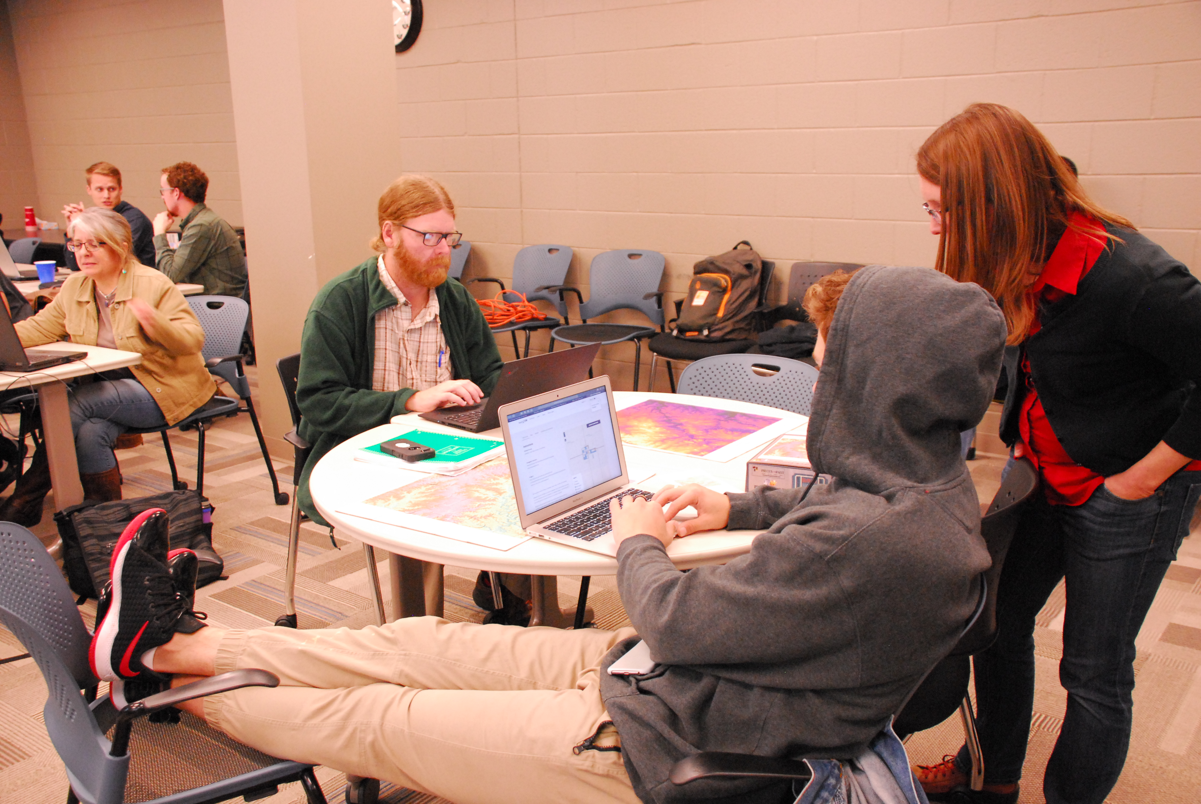
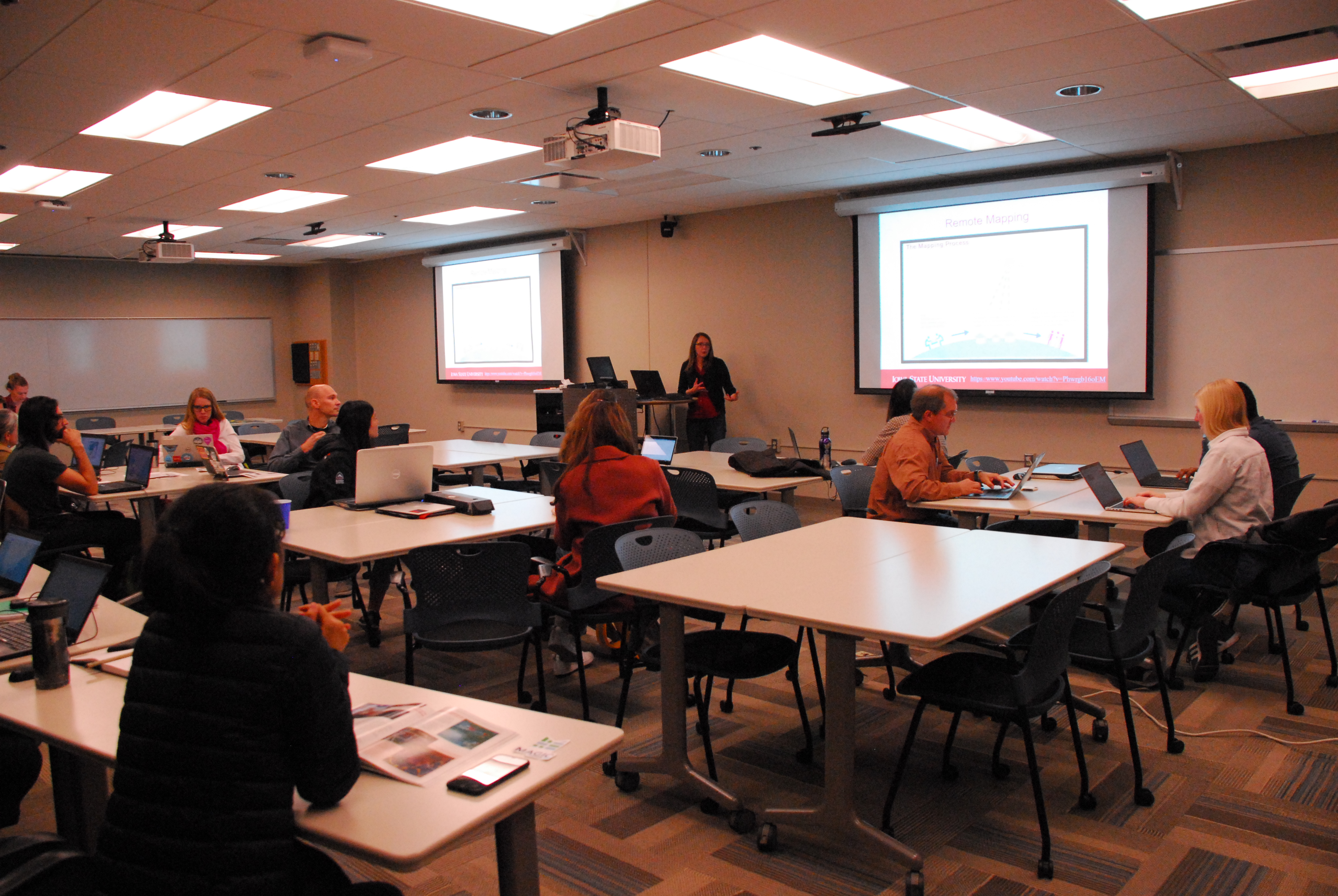
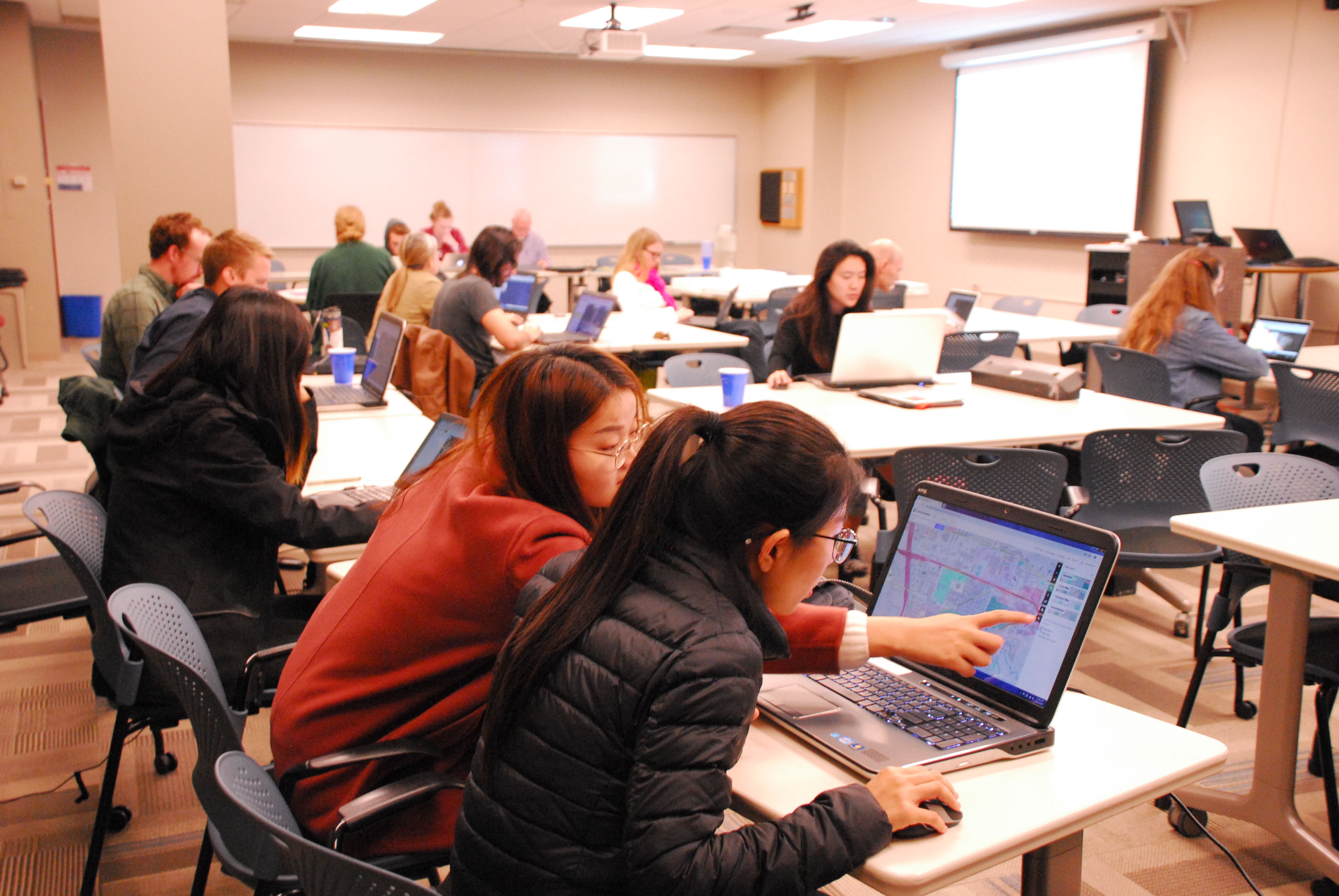
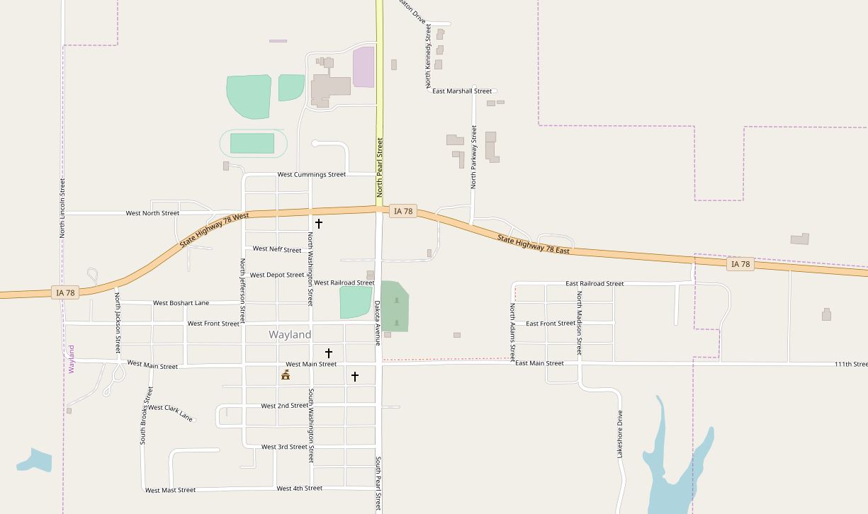
The second part of Earth Observation Day was dedicated to using OpenStreetMap to remotely map Wayland, Iowa and Mindanao region of the Philippines.
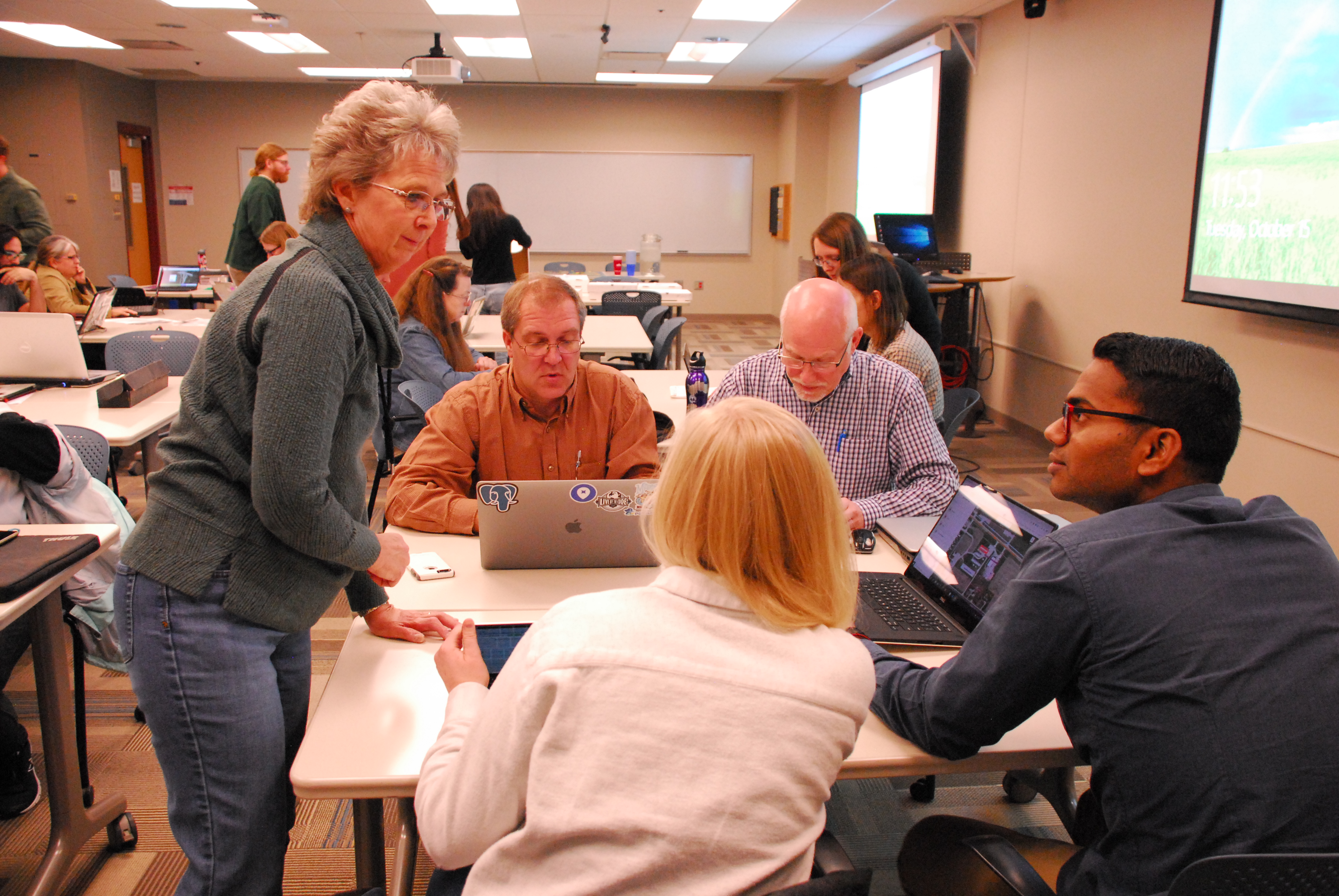
Amy Logan, an IowaView staff member, gave a brief introduction to remote sensing and OpenStreetMap. Then mappers began working on a TeachOSM task – Improving the Iowa OSM Basemap: Wayland, Iowa (https://tasks.teachosm.org/project/981). Beverly Conrad, the city clerk of Wayland came for the mapathon and was able to provide local knowledge about the areas participants were mapping. New mappers were encouraged to do the OSM iD Editor Walk-through before they began mapping. It provides users with a nice hands-on introduction of the OpenStreetMap interface and how to create data.
Beverly Conrad discussing a feature with mapathon participants.
Wayland is a small town (population: 966) in southeast Iowa that has wanted to move towards a GIS asset management system, yet much of their city needed to be mapped. As a result of the volunteer efforts of our 22 mappers during the Earth Observation Day mapathon event, partcipants mapped over 70% of the city, including over 470 buildings as well as sidewalks, alleys, parks, and other points of interest. Below is a before and after screenshot of the OpenStreetMap basemap for the City of Wayland, Iowa.
Thank you, Mappers!
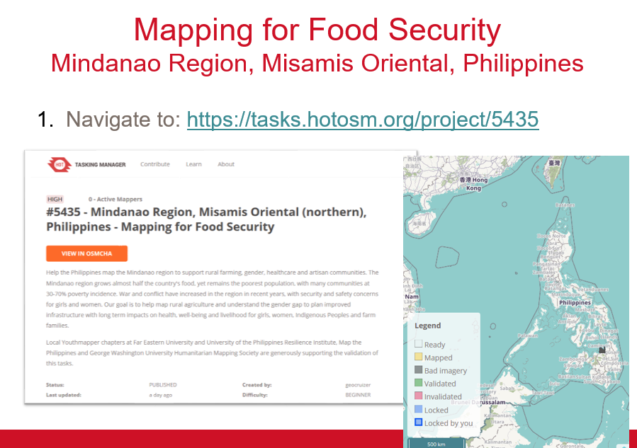
The second project was a Humanitarian OpenStreetMap Task improving the basemap in the Philippines to promote food security. This project added details to the basemap such as minor roads and path, buildings, and farmland.
Obscured from view by vegetation and built structures, Iowa’s often subtle landforms are revealed through a LiDAR-derived bare earth digital elevation model in a Geographic Information System. Geological and human made features can be seen in this series of LiDAR color hillshade maps from across the State.
Loess
Deep
deposits of wind-blown silt define the Loess Hills region of western Iowa.
Intricate drainage networks and agricultural terraces are visible in this map
from along the West Nishnabotna River near Hamburg.
Click on image to explore.
This image is of part of the Loess Hills in southwest Iowa.
Obscured from view by vegetation and built structures, Iowa’s often subtle landforms are revealed through a LiDAR-derived bare earth digital elevation model in a Geographic Information System. Geological and human made features can be seen in this series of LiDAR color hillshade maps from across the State.
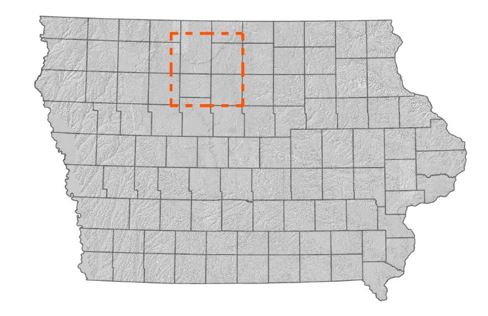
Algona
The
elevated curved features in this map are glacial moraines deposited during the
most recent period of glaciation in north-central Iowa. The largest in this
view is called the Algona Moraine.
The Algona Moraine is located in north central Iowa.
Obscured from view by vegetation and built structures, Iowa’s often subtle landforms are revealed through a LiDAR-derived bare earth digital elevation model in a Geographic Information System. Geological and human made features can be seen in this series of LiDAR color hillshade maps from across the State.
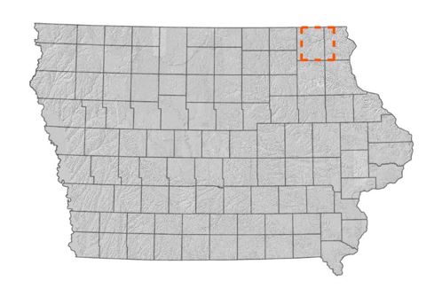
Oneota
Originally called the Oneota, the central river feature in this map is the Upper Iowa River. The well-defined drainage features are characteristic of the Driftless area of northeast Iowa.
Click on the image to explore in detail.
The Oneota River Valley is located in northeastern Iowa.