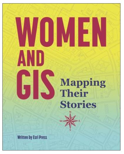
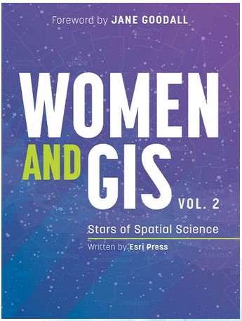
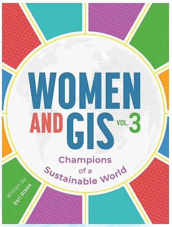
Today is International Women’s Day. Esri Press has a 3-book series Women and GIS, each book highlights stories and contributions of 30 women doing awesome things with geospatial technology. An exciting companion to the books is a series of 3 webinars in which women highlighted in the books are able to present about their projects. Take some time today to celebrate and explore the achievements of women in GIS.
Here’s more information about the Women and GIS webinar series:
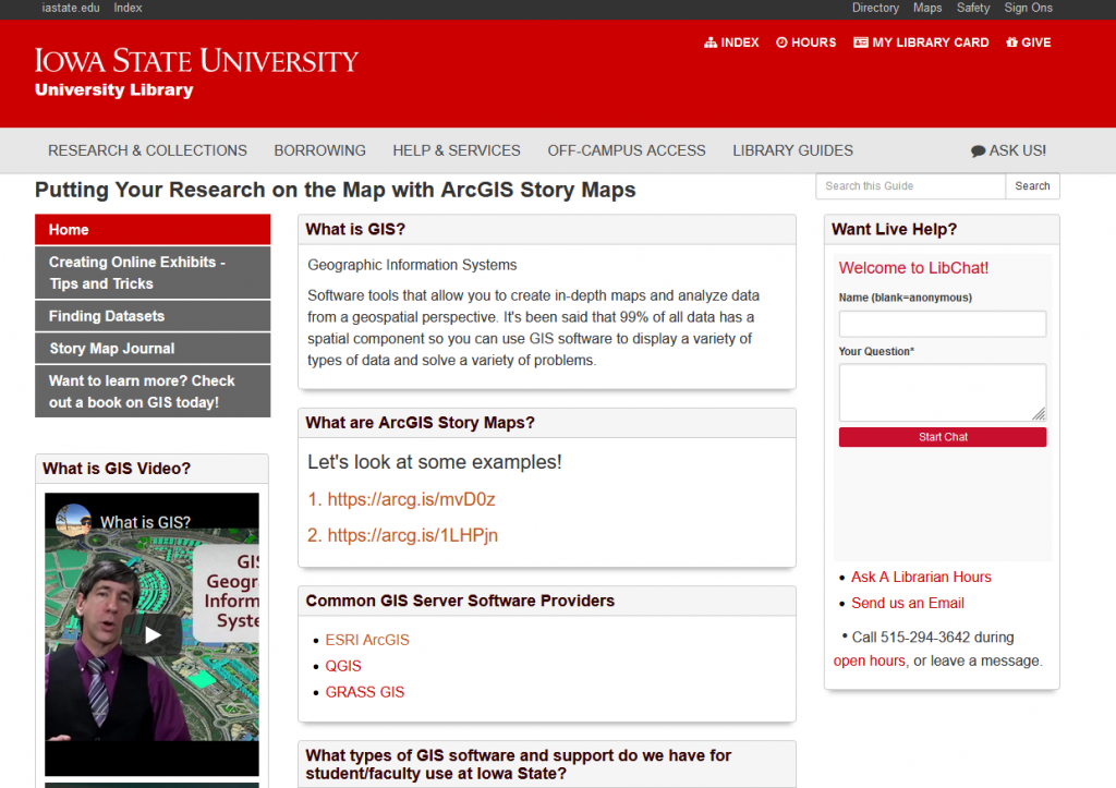
Are you interested in learning more about ArcGIS Story Maps? Iowa State University’s Parks Library has a great introductory library guide to get you started.
February is Black History month, and as part of that celebration IowaView would like to highlight a new story map that was recently released by the Tracing Race at Iowa State University. The Tracing Race project funds digital projects that reveal the under-documented history of accomplishment and experience of people of color, and engage with the history of race, inequality, racism, and student, faculty and staff activism at Iowa State University.
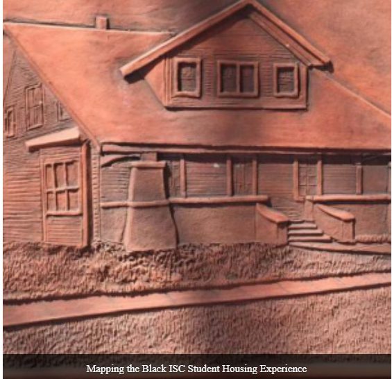
The Tracing Race project recently released a Story Map by Gloria Betcher, Ph.D.; Ted Grevstad-Nordbrock, Ph.D. & Jeanne Beck, Ed.S. called Mapping the Black ISC (Iowa State College) Student Housing Experience. It shares the stories of black students as they overcame challenges to find housing in Ames in order to pursue their education at Iowa State College.
“Since its founding in 1858 as Iowa Agricultural College & Model Farm, Iowa State University has allowed Black, Indigenous, and People of Color (BIPOC) to enroll as students. Iowa State’s first Black student, George Washington Carver, enrolled in classes in 1891. At that time, the question of where Black students could live while enrolled at the college became a concern, but it was left largely unaddressed by the institution until after World War II. Prior to that time, BIPOC students at Iowa State College (ISC) were kept from rooming on campus by an unwritten policy that required Black students to room together. This requirement was difficult to meet when so few Black students attended the college at any given time. As late as 1926, ISC had only 13 Black students and had just graduated its first Black woman, Willa Juanita Ewing, according to The Crisis: A Record of the Darker Races (“A Record,” 1926).
The housing situation of most BIPOC students at Iowa State in the years before it became a university remains unstudied in anysystematic way. This ESRI Story Map project is an initial step toward addressing that research gap. It is also intended as a means of illuminating just who the Black students at ISC were and what contributions they made after leaving Iowa State.”
– From the Project Introduction: Mapping the Black ISC Student Housing Experience
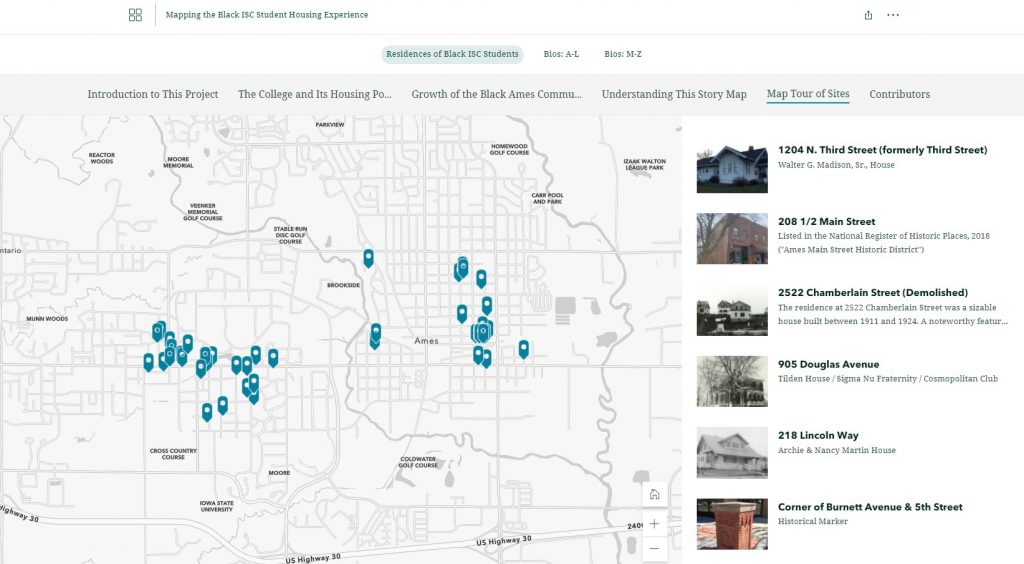
This story map is a treasure. It explains the challenges of Black students in the early days of Iowa State College in finding housing and how they overcame those challenges. It provides a map showing many of the early residences of the students around Ames, many of the homes are still there today.
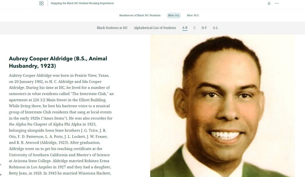
Another exciting feature of this story map is how the authors pay tribute to each of the Black students enrolled in at Iowa State College during this period of history. The authors provide a biography of each of the students and information about their time at the college and life after school as well as picture of the students. This is a great way to remember these students.
The images above illustrate the differences in scale between 24K, 100K, and 250K USGS Topographic Maps. Notice the change in level of detail.
The ISU GIS Facility Manager, Robin McNeely, recently gave a presentation for the Iowa Geographic Information Council Lunch and Learn series about new data products that the GIS Facility has been producing. Here is a link to watch Robin’s presentation, which begins around (29:20): https://iastate.webex.com/iastate/ldr.php?RCID=64ed815f6c8eaa323fa5c88cc36d7d60.
She highlighted the completion of the Historic United States Geological Survey (USGS) 24,000 Topographic Map series ArcGIS service. The 24k historic topo maps were downloaded from the USGS TopoVieweras georeferenced .tif files, inventoried and put into an ArcGIS mosaic dataset. The dates for those maps for Iowa are 1949-1986. They are currently in a published map service on ortho.gis.iastate.edu and as a layer in the Iowa Geographic Map Server (see map below.)
A few years back, Tyler Danielson, a GIS professional at Bolton and Menk, Inc. wrote a book called Lindsey the GIS Professional to help describe working with a geographic information system (GIS). In the book, Lindsey explains the information needed to create a map and how to collect it. Then she shows how to take that information to make a map of her favorite park. It gives readers a good introduction to the basics of GIS.Click here to read the book online: https://www.bolton-menk.com/books/lindsey/Lindsey.html.
Since the publication of the book, there have been several other companion resources produced. They can be found at www.LindseyLovesMaps.com:
At Home Activities – a maze, dot connect, data collection activity, analyzing data activity, drawing maps, and map coloring pages.
Teacher Resources – This includes a teacher guide and shows how the book, Lindsey the GIS Professional matches up with English, Social Studies and Science standards.
The coolest thing is that this story is based off of a real LINDSEY!
Hey Educators! Directions Magazine and the Esri Education Team are teaming up to provide a webinar to help you find the best digital map tools for your classroom!
Here’s more from the website: Join us for a look at geospatial tools for any learning space: home, outdoors, school, or virtual. The Esri Education Team has great suggestions to enhance any grade level or subject area with a geospatial perspective.
In this webinar, we’ll cover:
Free mapping software (ArcGIS Online, Storymaps, Survey123, and more)
Entry-level, standards-based GeoInquiry activities for the class
Tips and tricks for flexible instruction with digital maps
When: September 21st, 2021 8:00 PM through 9:00 PM (Eastern)
Attention educators and mappers! Join TeachOSM Tuesday, 21 September for our first ever ‘back-to-school’ night. We’re offering an informal open house to introduce our programming. This hour-long event will feature brief demos from teachers and mappers to enable you to:
Find out more about how you can put OSM in your school
Learn how to take advantage of our Map-Alongs and other educational programming
Find out how you can get support open mapping education in your community
Photo Credit: U.S. Air Force photo by Senior Airman Ian Dudley
Landsat 9 is scheduled to be launched on September 16, 2021. This will mark almost 50 years of earth observation by US satellites. In preparation for this historic launch, we will be sharing several interactive documents about the history of the Landsat mission as well as the information about the Landsat 9 mission.
Today we would like to share with you, A History of the Landsat Program, developed by Ellie McGinty at UtahView. It’s an interactive Google Earth Tour, which documents major moments in earth observation history through a combination of maps, text, and curated images starting with the founding of the United States Geological Survey in 1879 through the birth of NASA in 1958 to the conception of Landsat in 1970 and all the way to the present day launching of Landsat 9.
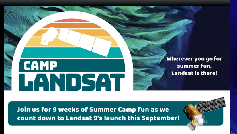
Each week NASA’s Landsat Science team will explore a unique aspect of Landsat earth science (see themes below). Weekly features include Landsat related crafts and games, revisiting each sequential Landsat mission as well a weekly postcard from camp. Stop by each week of camp to explore a new theme.
This year NASA’s Earth Day theme is #ConnectedByEarth. Visit the NASA Earth Day Poster website to watch a short video about the inspiration for the poster and discover the gems hidden within the poster. Download your copy of the poster to learn more about bees and our natural world.