Category Archives: Uncategorized

Happy GIS Day 2020! #GISDay

As a way to celebrate GIS Day and OpenStreetMap, we are encouraging everyone to go online either during this week or on GIS Day and contribute to the OpenStreetMap basemap. You may consider improving the basemap in your own community. Here are several projects to consider:

Public Lab Mongolia – https://tasks.hotosm.org/projects/9560/
Public Lab Mongolia (PLM), a local non-governmental organization in Mongolia, is leading the Mongolian chapter for volunteer mappers through the HOTmicrogrant COVID-19 project, as part of their mission to promote open data and disaster preparedness. This mapping will also help with COVID-19 response efforts. This project is to map Ulaanbaatar capital city of Mongolia, is organized by PLM in collaboration with the Mongolian Geo-spatial Association and local universities.

Hurricane Eta – Nicaragua – https://tasks.hotosm.org/projects/9765
Hurricane Eta brought wind, rain and storm surge to the coast of Nicaragua. This project is to finish the basemap of Bilwi (Puerto Cabezas) by digitizing buildings from MAXAR imagery. Available to beginners, there may be tricky tasks in this project as some areas have been partially mapped with older imagery and vegetation can often hide parts of structures. Make sure to review the instructions for tips on how to overcome these challenges and provide high quality data.

Explore your own project: https://tasks.hotosm.org/explore

Happy GIS Day #GISDay

Geography Awareness Week continues with the celebration of GIS Day.

Participate in the international celebration of geographic information systems (GIS) technology. GIS is a scientific framework for gathering, analyzing, and visualizing geographic data to help us make better decisions. On GIS Day, help others learn about geography and the real-world applications of GIS that are making a difference in our society. It’s a chance for you to share your accomplishments and inspire others to discover and use GIS. – From the ESRI GIS Day website

Check out ESRI’s list of 101 ways to participate in GIS Day. Here are a couple ideas that stuck out:
27. Submit a story map to the 2019 StoryMapper of the Year Contest. I have heard of storymapping student contests but apparently ESRI also has a contest open to anyone with a $5,000 prize.
61. Wear your favorite GIS shirt.
My favorite map shirt features the Upper Pennisula of Michigan. What about you?
92. Complete a Learn ArcGIS lesson.
This is a cool site with real world guided GIS lessons.

A Great day for Earth Observation – Part I

Earth Observation Day 2019 was super.

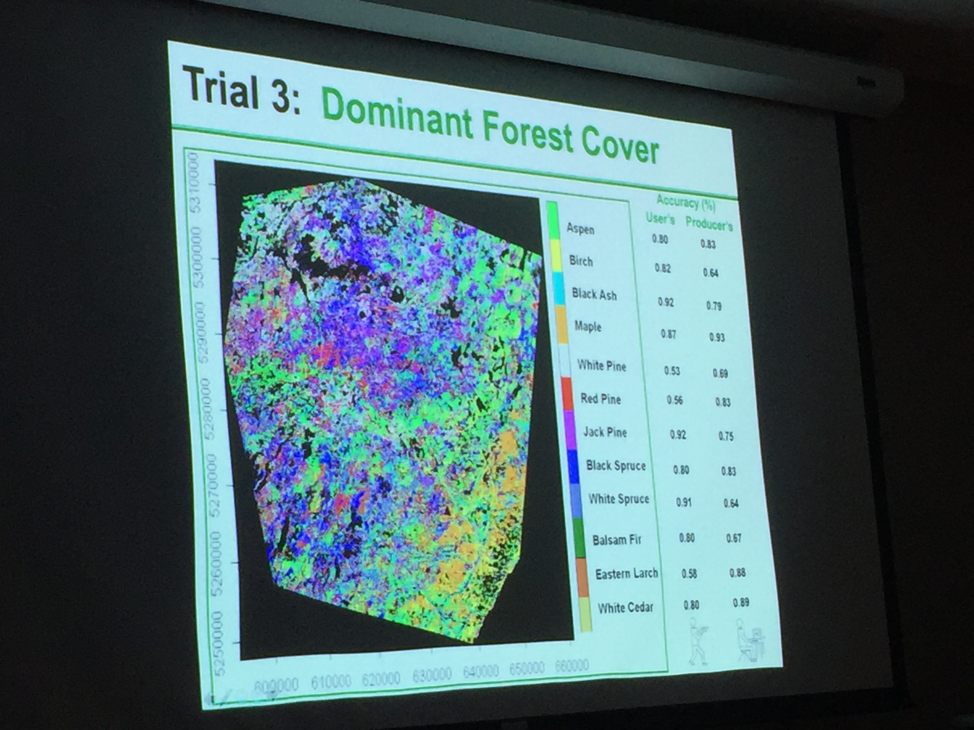
First, Professor Peter Wolter shared with us several projects he has worked on in northern forests of Minnesota, Wisconsin, and Michigan. He explained how he has used multiple satellites/sensors to identify specific traits in trees (wavelength, height, temporal change, etc.) which allowed him to classify different regions of the forest by species. Below are some pictures from his presentation. Thank you, Peter!

Save the Date: Tuesday, October 15, 2019 – Earth Observation Day

The ISU Geographic Information Systems (GIS) Facility and IowaView will be hosting an Earth Observation Day celebration on Tuesday, October 15 (10:30 a.m. – 12:30 p.m., 248 Durham). We will have a speaker discussing remote sensing research. Then we will host a mapathon with pizza from 11:00 to 12:30, we will be working to add additional data to the Iowa OpenStreetMap basemap and then working on a humanitarian mapping project in an area hit by a recent natural disaster. 

Join the fun! Additional details coming soon! For more information, contact amylogan at iastate.edu

Happy Earth Observation Day!

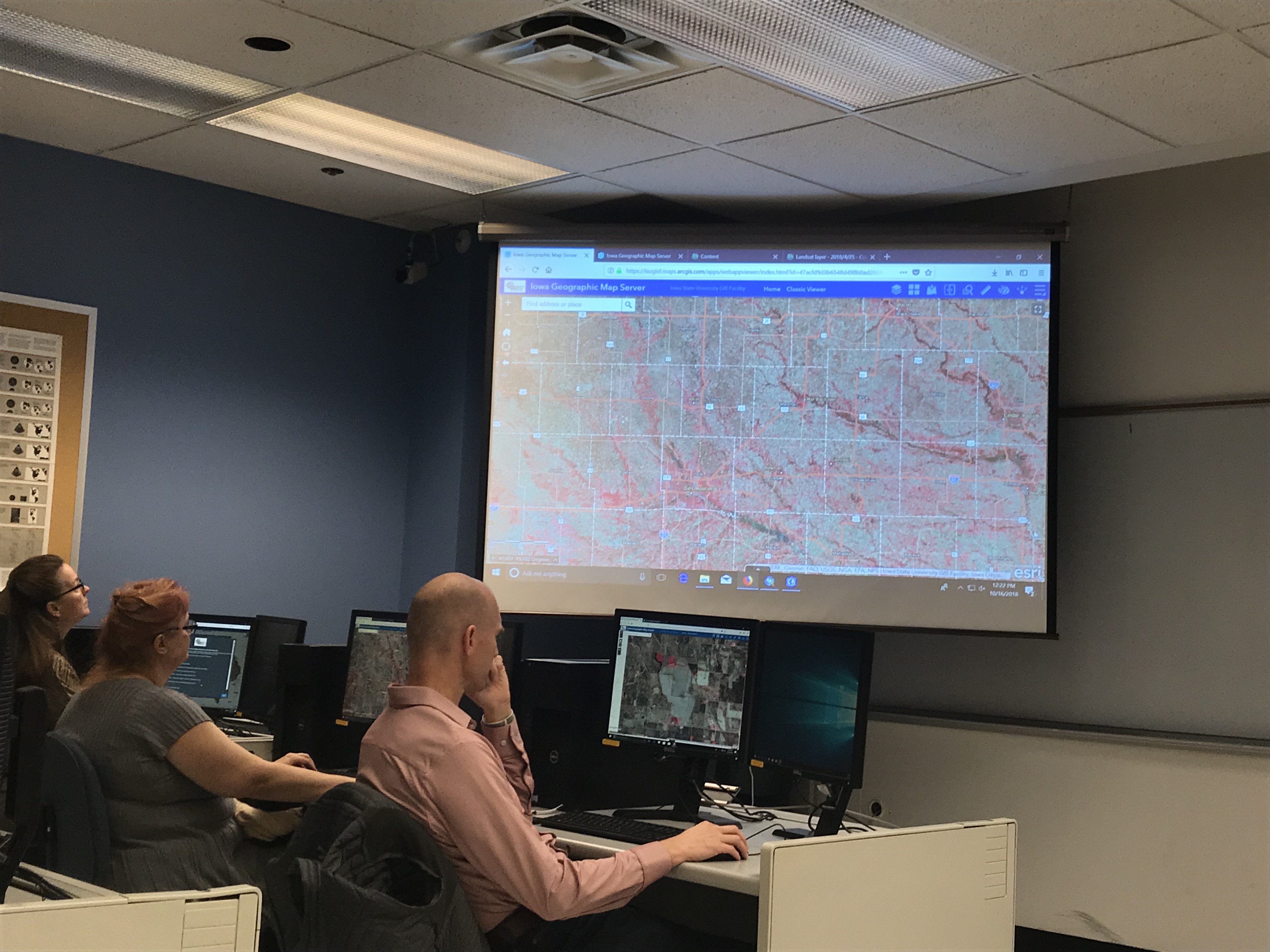
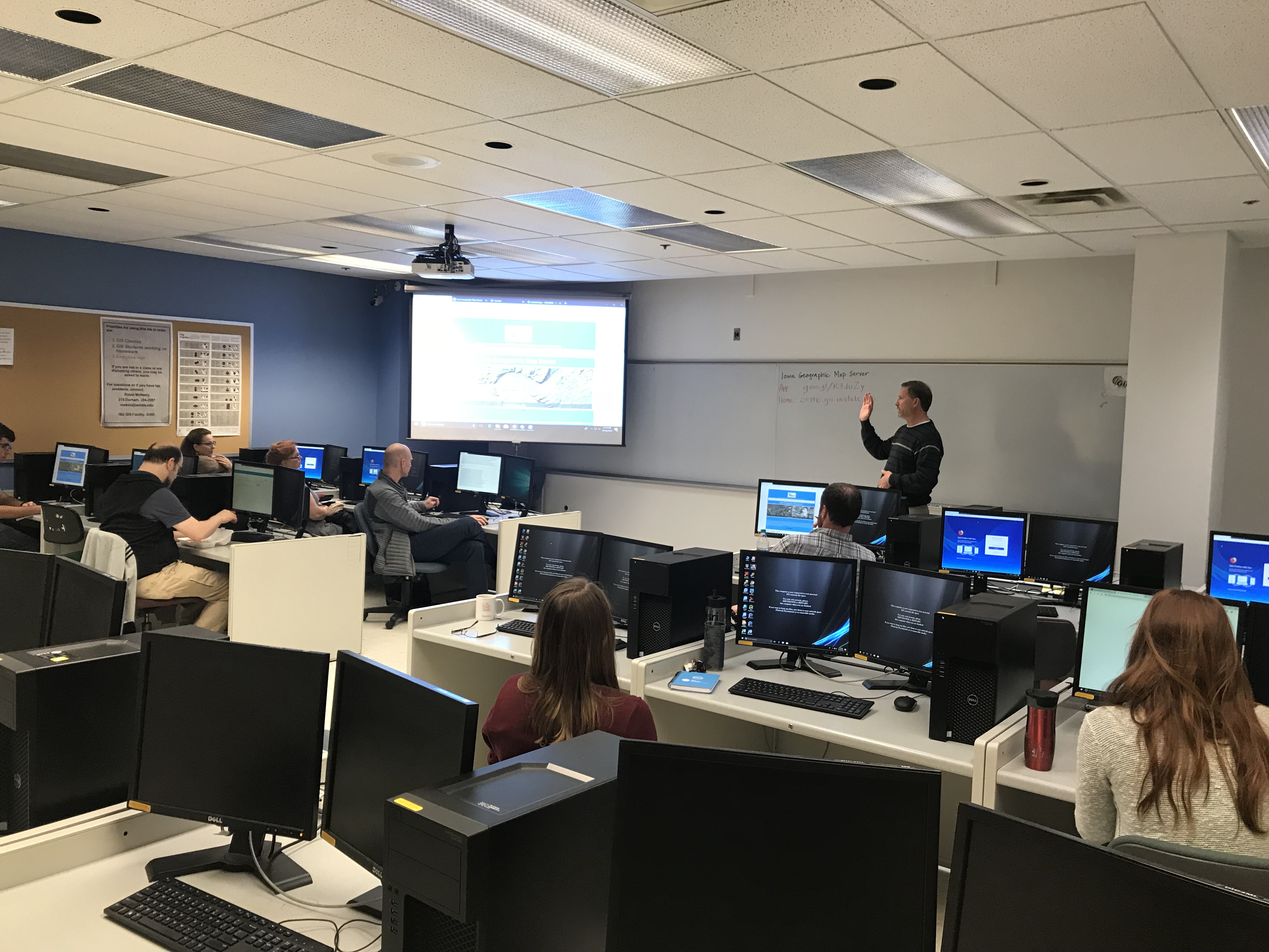
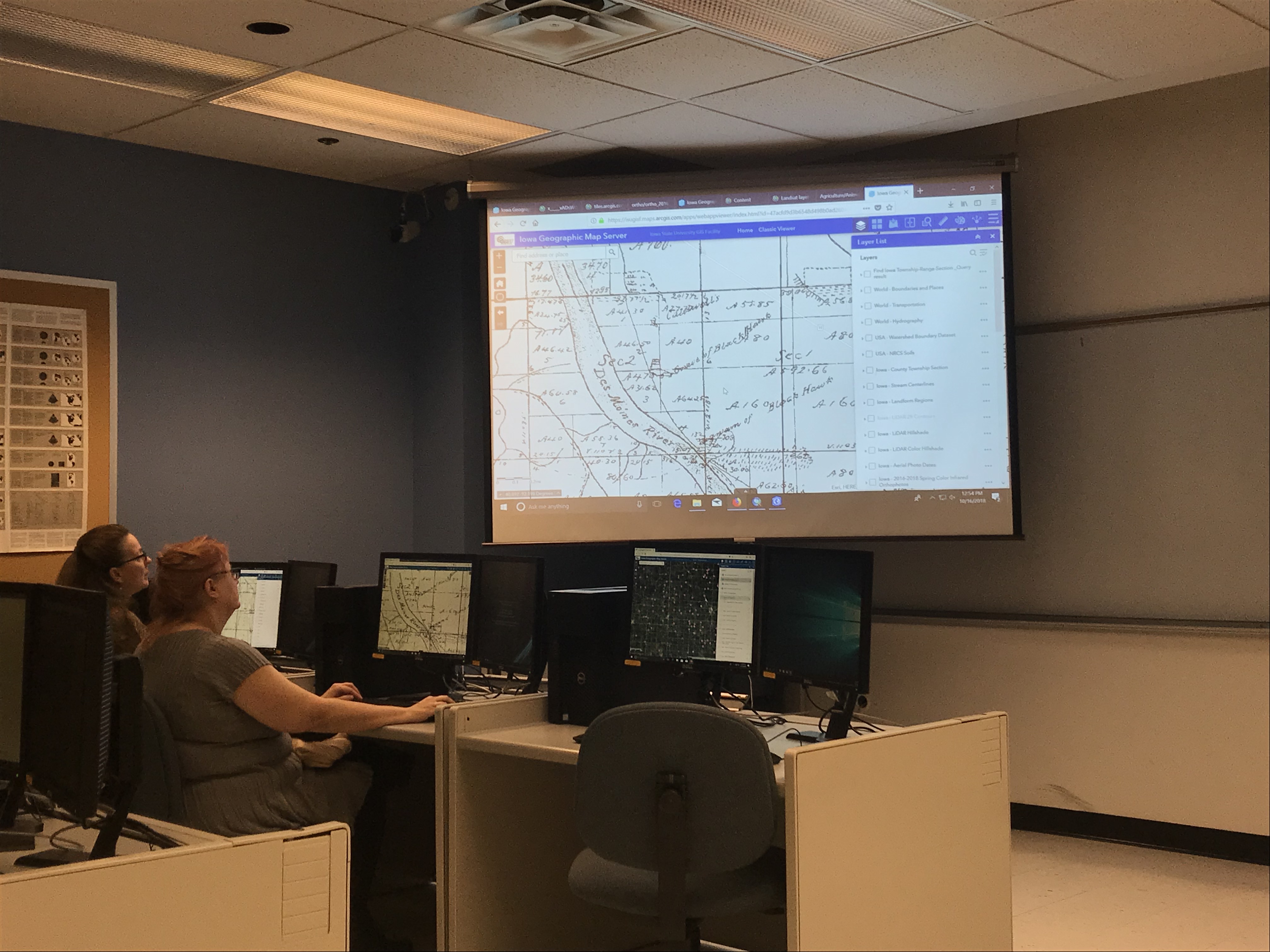
Gregg Hadish gave a great presentation about the Iowa Geographic Map Server to celebrate Earth Observation Day.  It was a hands-on demonstration of the Iowa Geographic Map Server ArcGIS App which meant participants could follow along as he explained the various features and functions of the map server. Gregg also showed participants how to leverage map server layers within their own ArcGIS Online organizational accounts and basics for creating their own apps. 

Thank you, Gregg for a great demo! 

Here are some pictures from our Earth Observation Day event.

Checking out the new statewide 1 ft color infrared imagery in the web app.

Gregg giving an introduction to the Iowa Geographic Map Server.

Showing a historical layer – 1880s Andreas Atlas.

GIS – Your Passport to Adventure

Students using ArcGIS Online

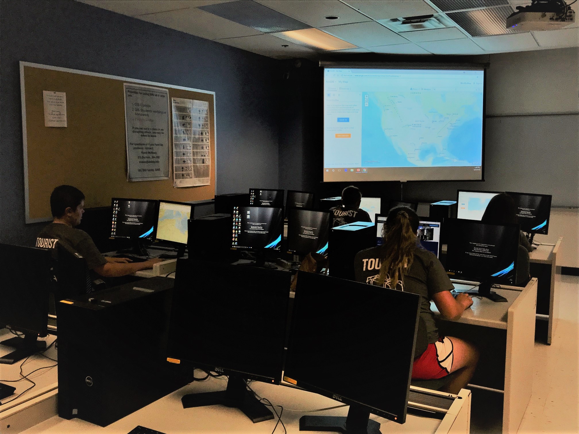
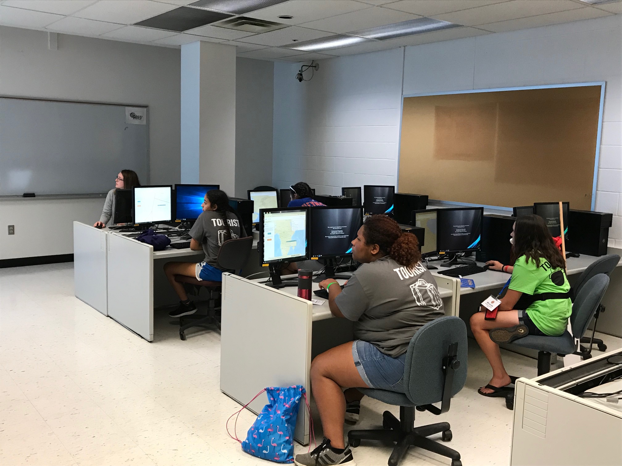
On June 27, 2018, IowaView hosted another workshop as part of the state 4-H conference. This workshop provided 4-Hers with an introduction to world of GIS. Students experienced using ArcGIS Online (an online mapping tool) to explore European migration. Next they used ArcGIS Pro to work in groups to design a neighborhood park. Finally, the 4-Hers looked at several examples of Story Maps (seen below).

Basic Story Map – Olympic Games – http://www.arcgis.com/apps/StoryMapBasic/index.html?appid=efc82690d8f649019caa8e2fe1b49382
One World, Many Voices: Endangered Languages – http://storymaps.esri.com/stories/2013/endangered-languages/
The World in 1812 and 2013 (Spyglass) – http://story.maps.arcgis.com/apps/StorytellingSwipe/index.html?appid=b8ece5952db443858442f122984602ba&webmap=8ea34ba9a4f843e08a468595d8d91188#

Open Street Map – Your Passport to Adventure

IowaView hosted a workshop on June 26, 2018 as part of the annual State 4-H Conference. The workshop provided 4-Hers with an introduction to OpenStreetMap and online mapping for community service and humanitarian aid purposes.

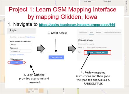
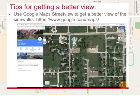
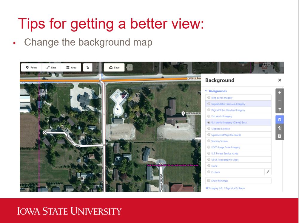
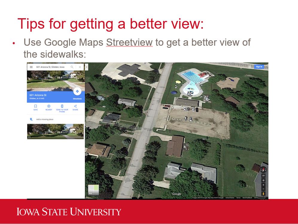
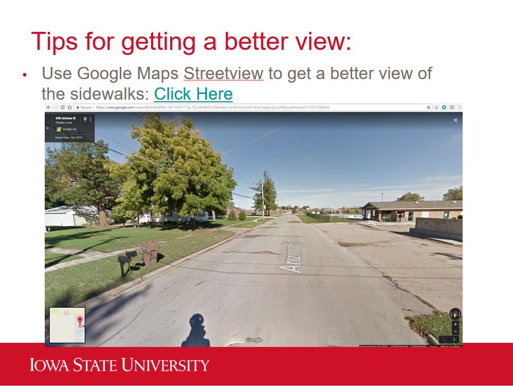
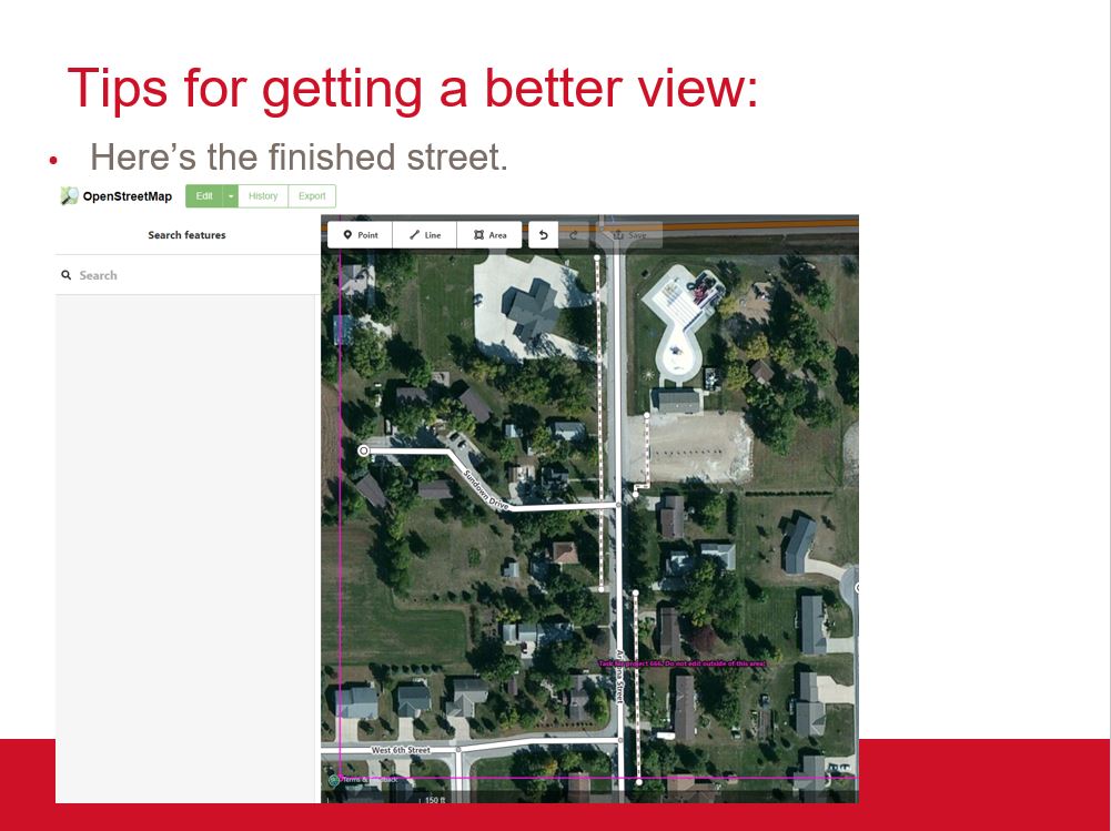
The workshop began with an introductory lecture and then students completed two projects. The first project was mapping in Glidden, Iowa. IowaView partnered with ISU Geospatial Extension to help them improve the OSM basemap by creating more complete data for streets, sidewalks, alleys, parks, and crosswalks as part of a community planning project. The 4-Hers were encouraged to use Google street view in addition to the OSM imagery to get better views of the sidewalks and crosswalks which can often be obstructed by trees.

Notice the sidewalks (some are still hard to see, obstructed by trees)
Here’s a view of the sidewalks from the street
Now the basemap is complete

The group also had a short time to work on a project with the Humanitarian OpenStreetMap team helping map buildings in Osaka, Japan as part of their earthquake recovery efforts.

ESRI International Users Conference 2018 :: JULY 9-13, 2018 :: SAN DIEGO, CA

The ESRI International Users Conference is a sneak peek at all that is new in the world of ArcGIS.  This is the largest GIS conference with over 18,000 in attendance. There are thousands of sessions and hundreds of vendors. This is a great opportunity to expand your GIS knowledge in the beautiful city of San Diego, California. Check out some of last year’s plenary sessions, here.  Cool stuff!

Registration is $1,595 until May 25.  To register, click here.  For an overview of the agenda, click here.

ITAG 2018 :: June 12-15, 2018 :: West Des Moines, IA

This week we are highlighting a number of upcoming geospatial conferences and the organizations that they representing.  Conferences are a moment to learn something new, hear about great work that our colleagues are doing, find opportunities for collaboration, share knowledge, and have fun.

ITAG is the Iowa Technology And Geospatial Conference.  The ITAG conference is a joint effort between the Iowa Geographic Information Council (IGIC) and the Iowa Counties Information Technology (ICIT) organizations.  This conference is unique, in that it offers two GIS tracks and two information technology (IT) tracks. This is helpful as many GIS professionals are also involved with IT as part of their job.  This is the second year of the joint conference.

ITAG is June 13-15, 2018 at the West Des Moines Sheraton Hotel in West Des Moines, Iowa.  There are pre-conference workshops on June 12.  For registration information, click here.  For a detailed agenda, click here.     

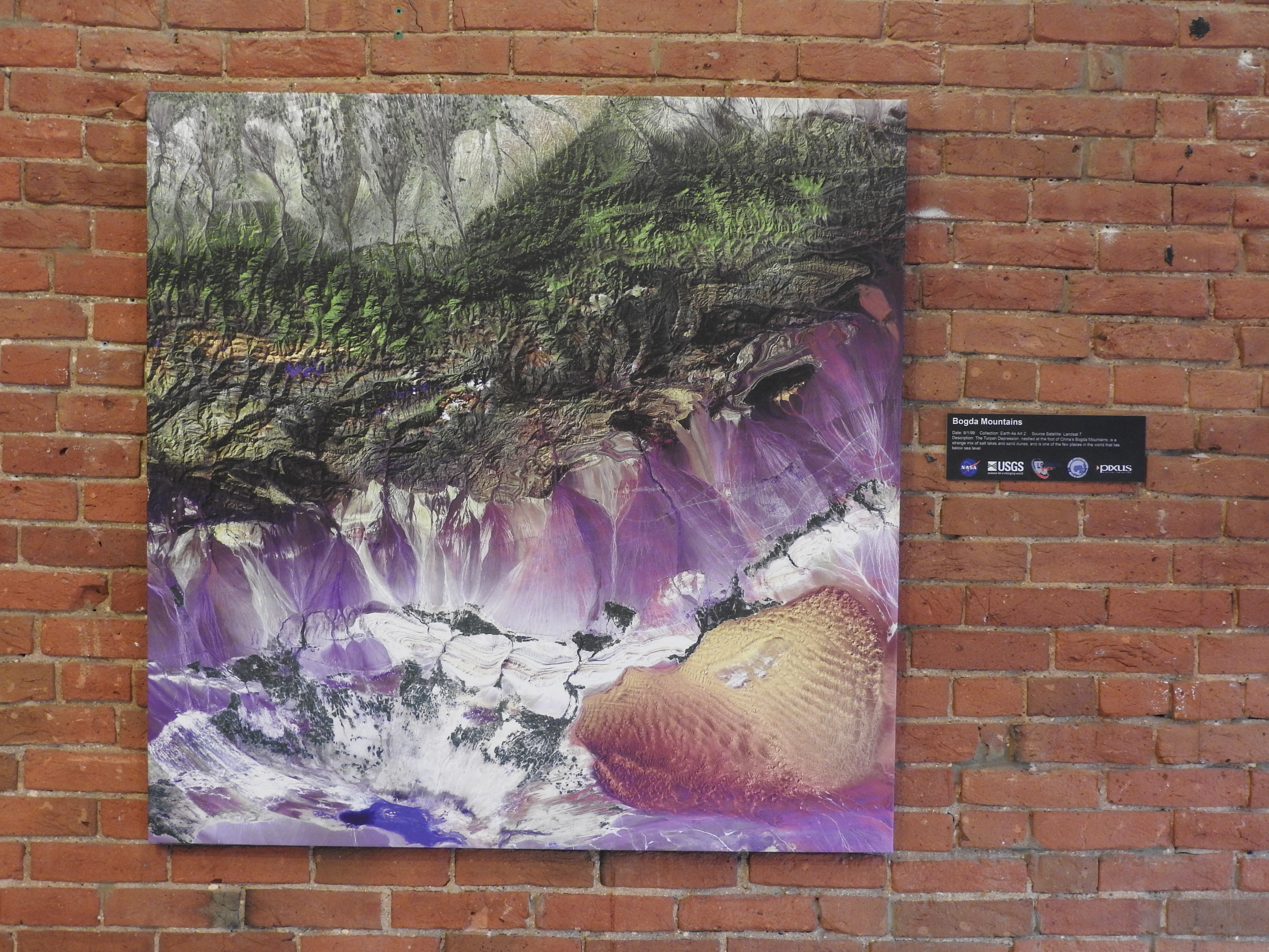
Wrapping up Earth as Art!

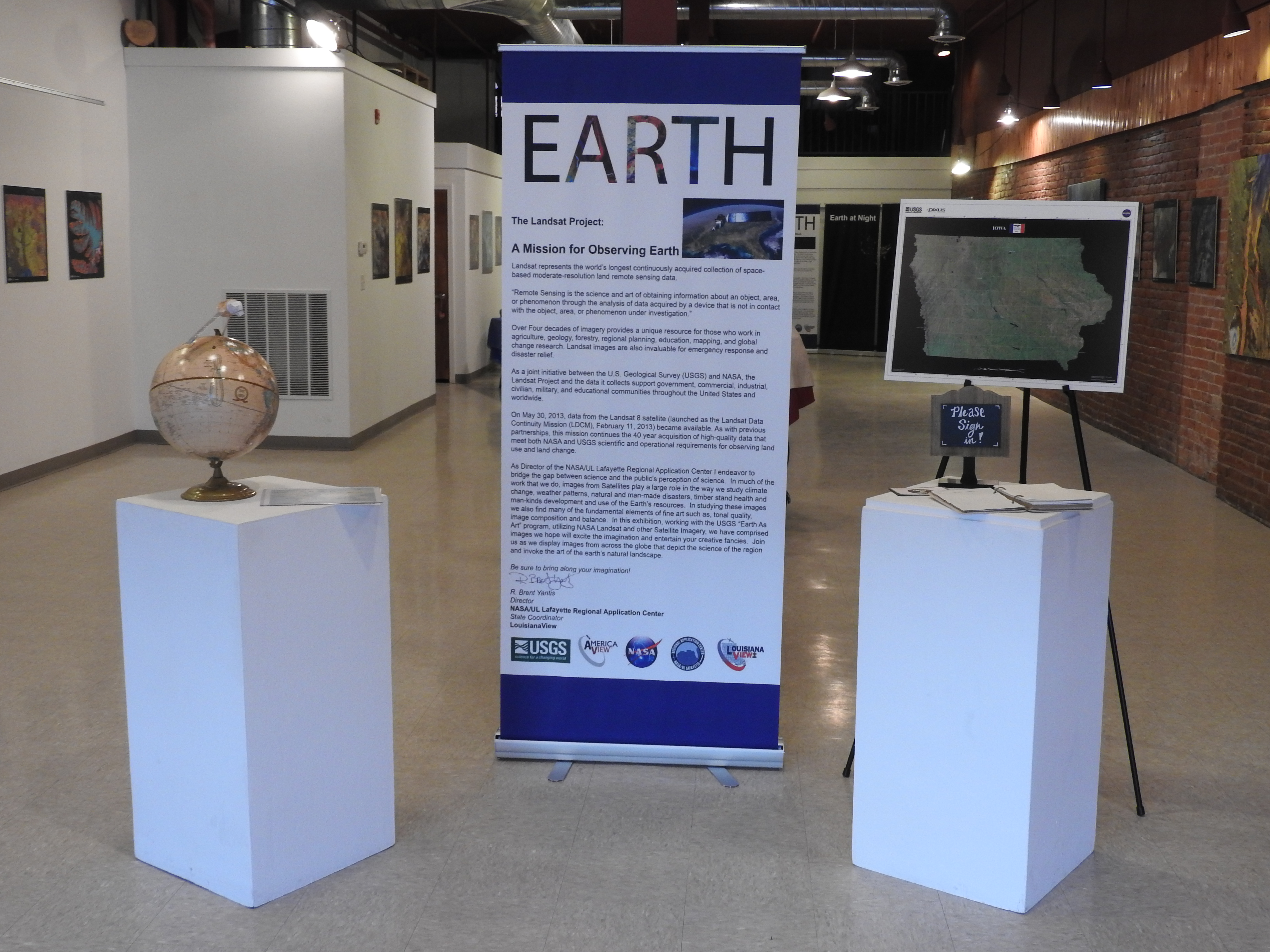
Thanks to everyone who visited the Earth as Art exhibit. We hope you enjoyed it! It was so encouraging to have some many visitors! Over 275 people signed the guest book.  We had great walk-in traffic as well as visits from the Boy Scouts, 4-Hers, ISU’s Emerging Writers, members of the Ames Community Arts Council, and a workshop on climate change.

Thank you to Brent Yantis for putting together this exhibit from the Earth as Art collections. Thank you for making the drive from Louisiana to Iowa and helping us get it installed!

Thank you to Gloria Oyervides for your beautiful work on the poster and other promotional materials. Thank you for your hard work on the educational materials and for helping with the installation and opening night.

Thank you to Xingyi Zhang for creating the world map with locations of the images and for help with installation and opening night.

Thank you to the Design on Main gallery, Kyle Renell, and the interns for helping host our exhibit!