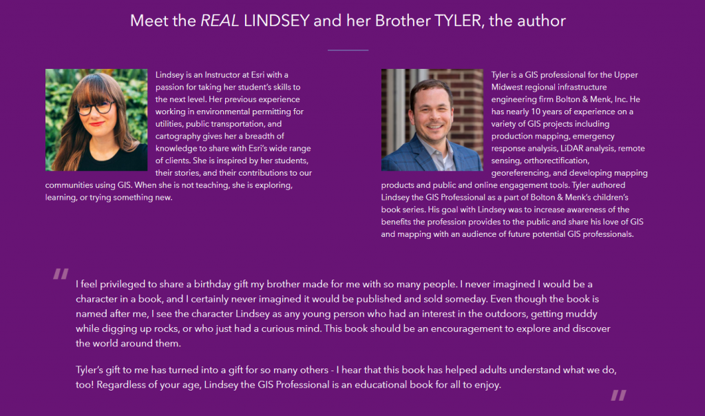
A few years back, Tyler Danielson, a GIS professional at Bolton and Menk, Inc. wrote a book called Lindsey the GIS Professional to help describe working with a geographic information system (GIS). In the book, Lindsey explains the information needed to create a map and how to collect it. Then she shows how to take that information to make a map of her favorite park. It gives readers a good introduction to the basics of GIS. Click here to read the book online: https://www.bolton-menk.com/books/lindsey/Lindsey.html.
Since the publication of the book, there have been several other companion resources produced. They can be found at www.LindseyLovesMaps.com:
- At Home Activities – a maze, dot connect, data collection activity, analyzing data activity, drawing maps, and map coloring pages.
- Making Maps with Lindsey – guides students through mapping their own data: https://storymaps.arcgis.com/stories/1aedae2683d740ad9736752ab5768ef7
- Teacher Resources – This includes a teacher guide and shows how the book, Lindsey the GIS Professional matches up with English, Social Studies and Science standards.
The coolest thing is that this story is based off of a real LINDSEY!


