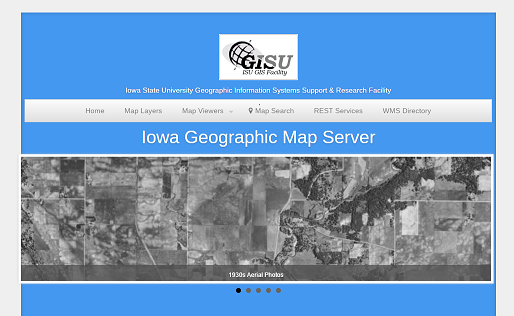
 Iowa Geographic Map Server – provides free access to Iowa geographic map data through an online map viewer and through Web Map Service (WMS) connections for GIS.
Try the NEW full-featured map viewer HERE
Available maps include:
- Statewide historical aerial imagery – 1930s, 1950s, 1960s, 1970s, and 1980s
- NAIP summer imagery – 1990s, 2004, 2005, 2006, 2007, 2008, 2009, 2010, 2011, 2013, 2014, 2015
- Spring color-infrared imagery – 2002, 2007, 2009, 2010, 2016 (eastern Iowa)
- Elevation maps
- Historical maps
- Land use/land cover maps
