IowaShots Image Series
In 2022, as part of the celebration of 50 years of the continuous Landsat satellite mission, IowaView created a series of images and videos for Iowa. The images and videos below show changes in seasons and the landscape as well as explore urban growth, weather’s affect on the land, and weather variation from year to year.
See the IowaShot image series below (select an image to zoom in or follow the link to read the blog post):
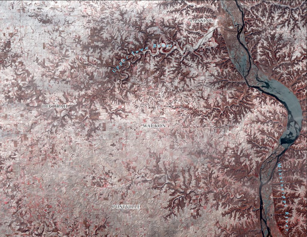
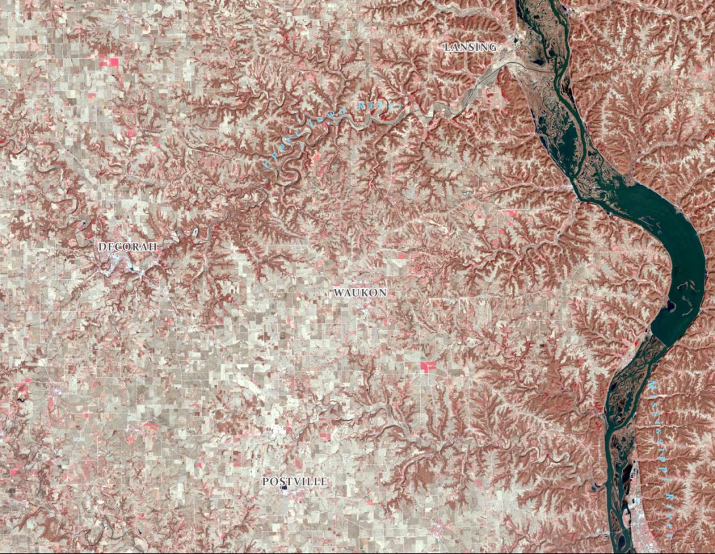
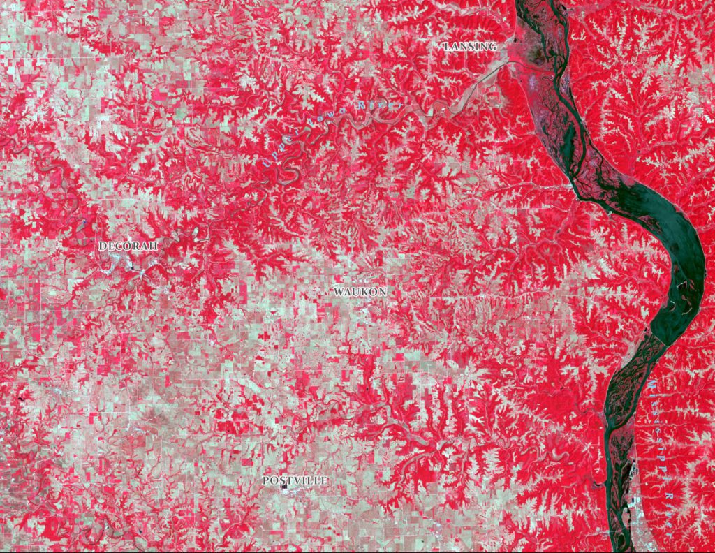
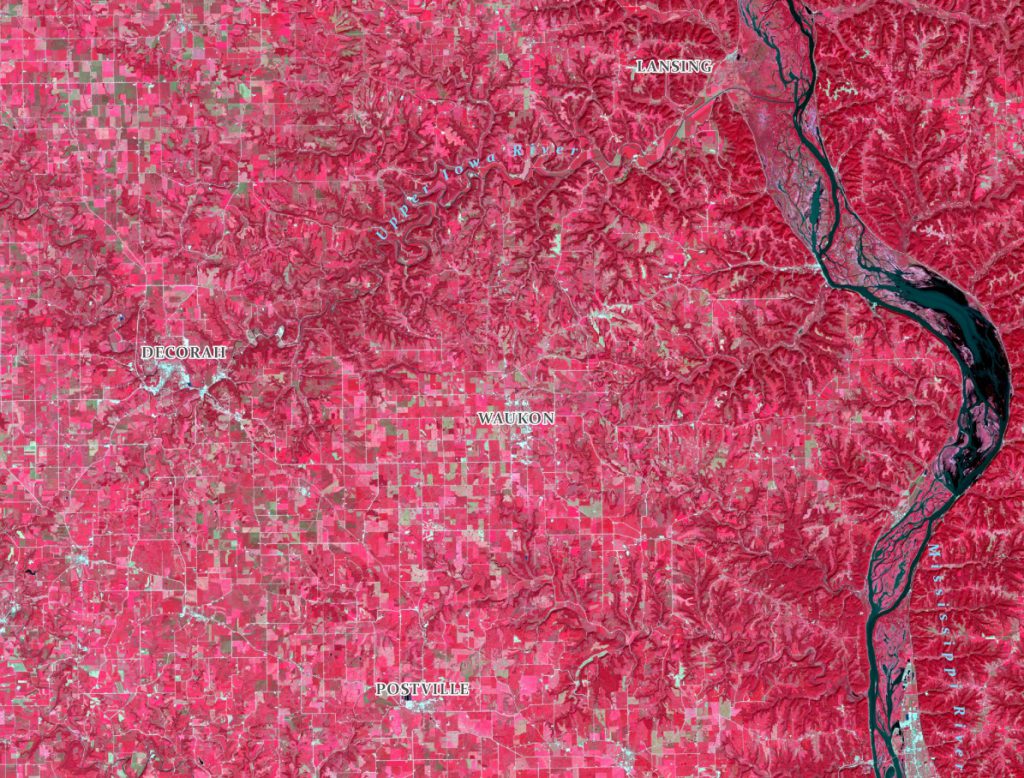
- Northeast Iowa Through the Seasons – https://www.iowaview.org/fall-equinox-in-northeast-iowa-landsat50/
- Wapello, Iowa – Solar Farm – https://www.iowaview.org/celebrating-zero-emissions-day-with-landsat-a-solar-farm-in-wapello-iowa/


- Central Iowa Across 5 Aprils – https://www.iowaview.org/traveling-way-back-landsat-images-from-aprils-gone-by/
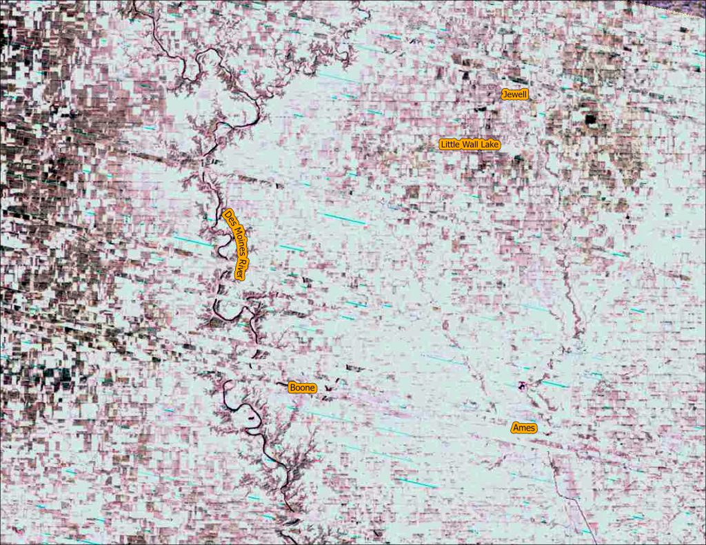
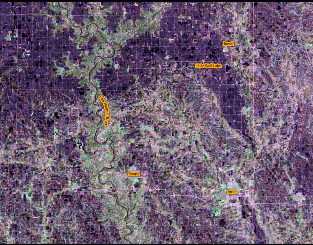
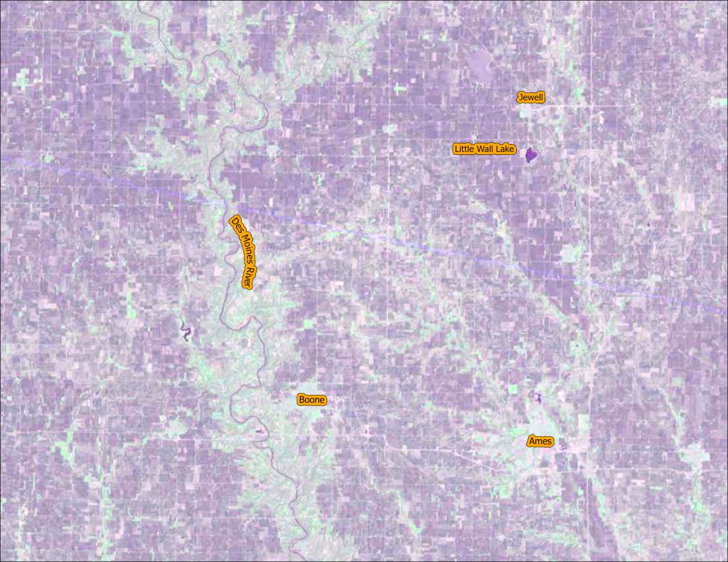
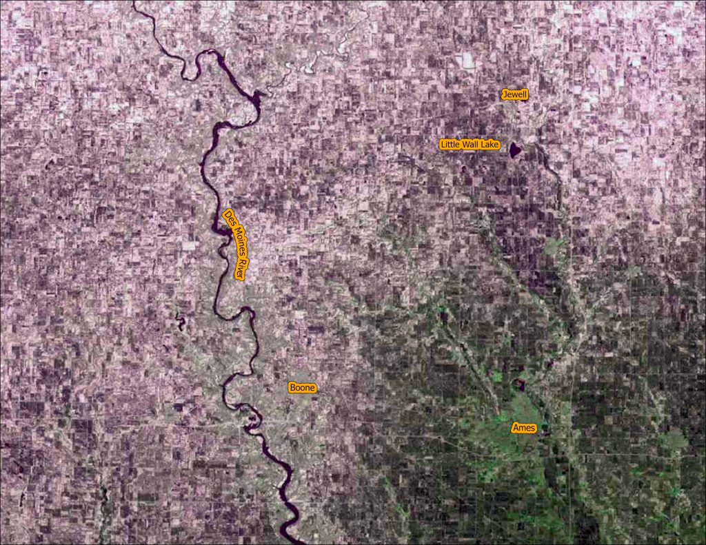
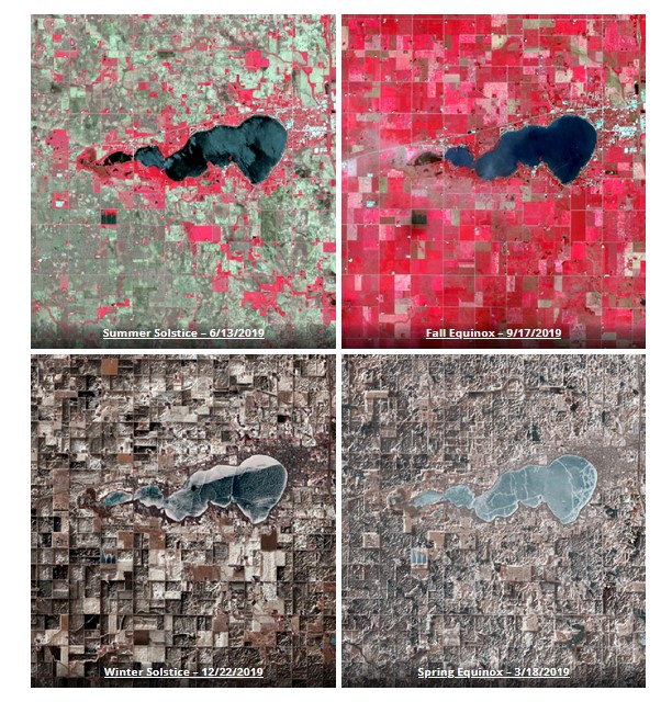
- Clear Lake, Iowa Through the Seasons – https://www.iowaview.org/happy-summer-solstice-week-lets-head-to-the-lake/
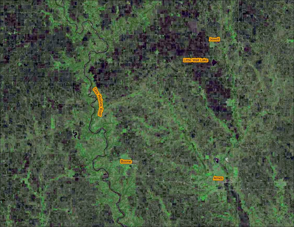
- Central Iowa Des Moines River – Saylorville Dam – https://www.iowaview.org/way-back-when-before-the-saylorville-dam-throwback-thursday/


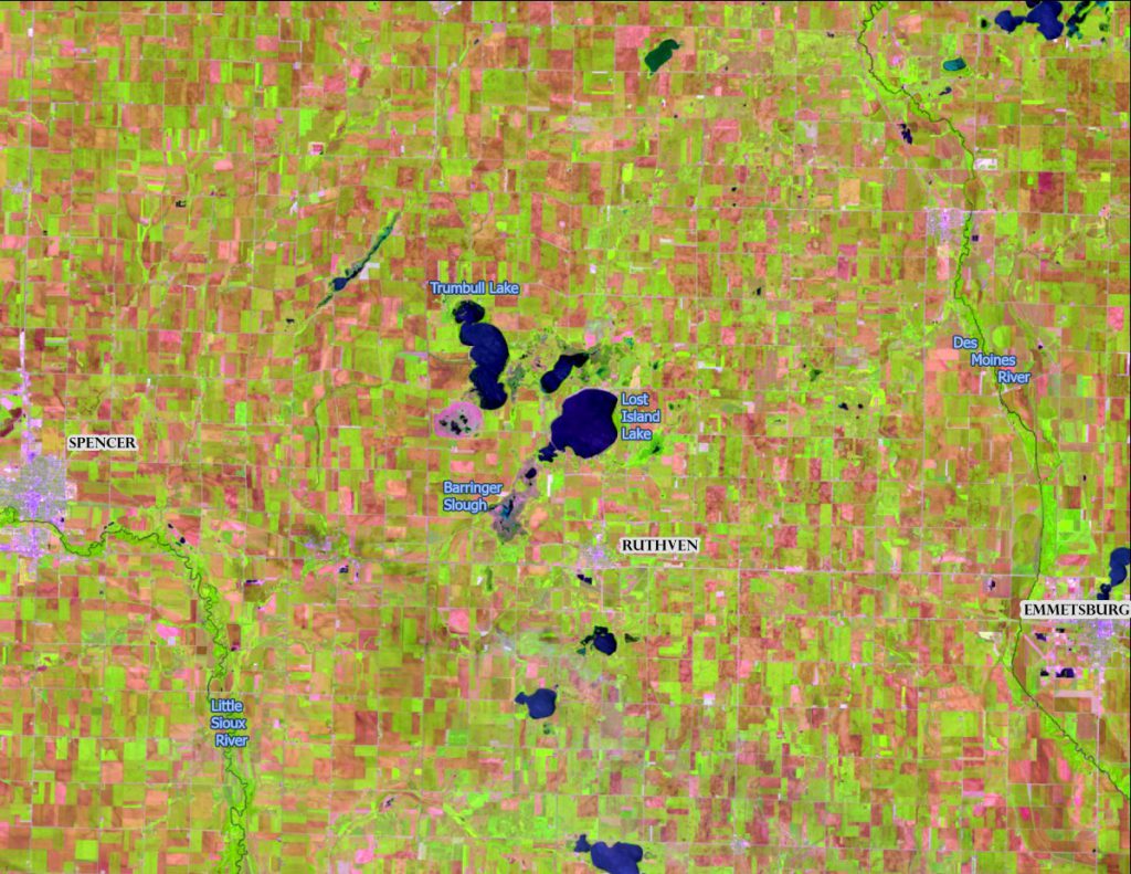
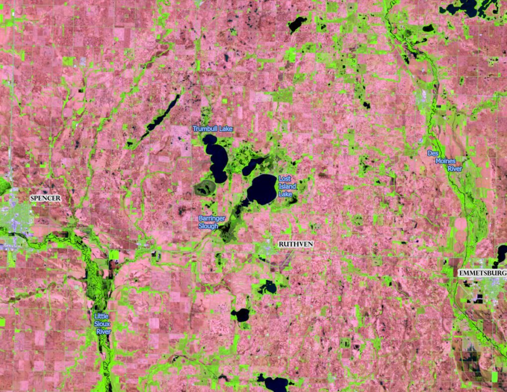
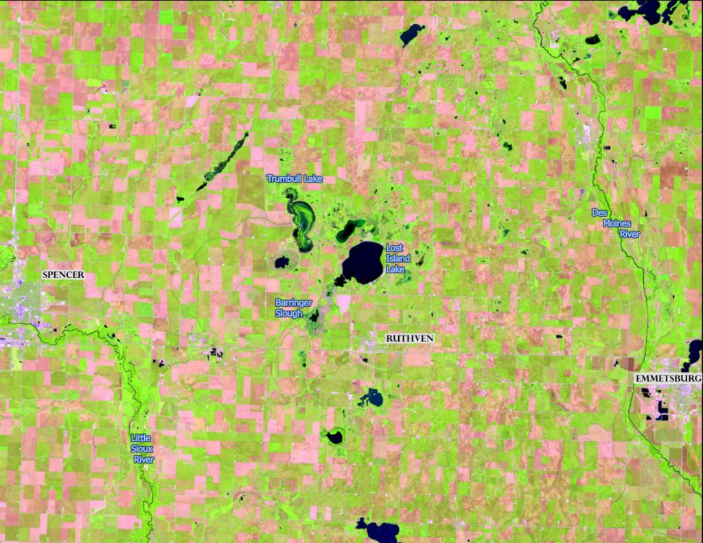
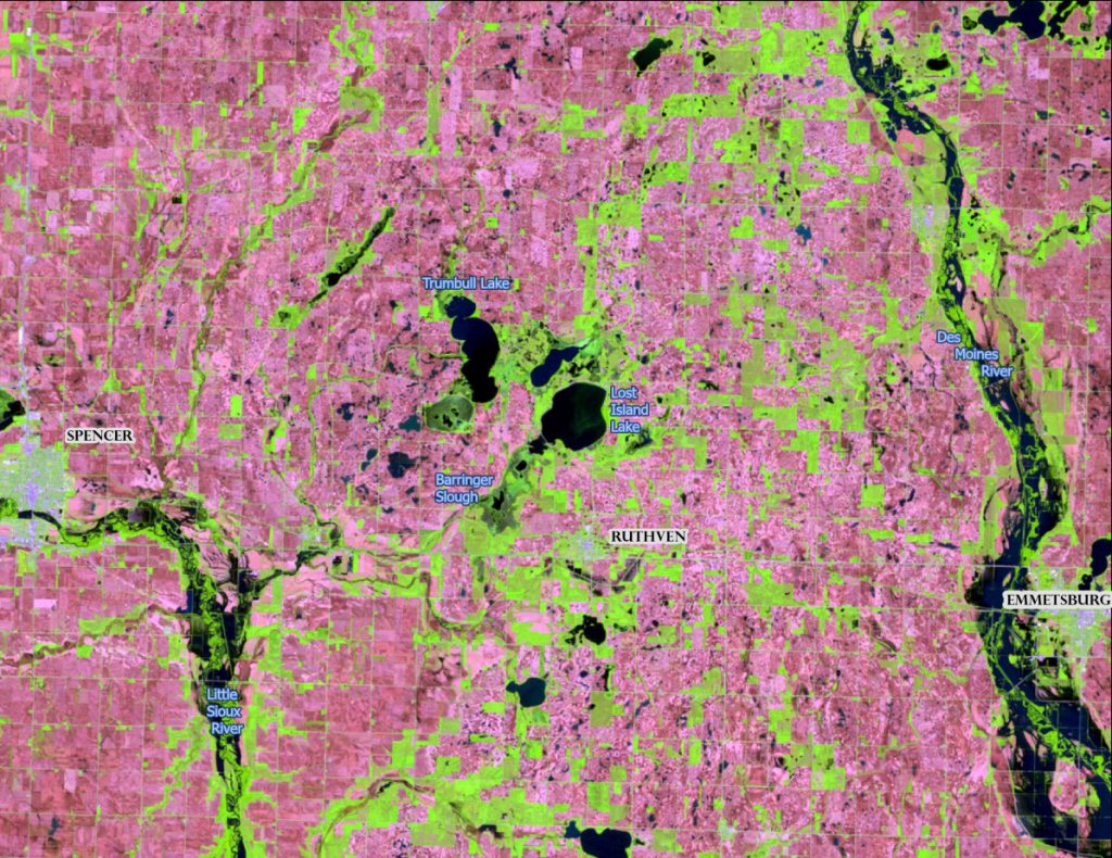
- Changing Landscape – Flooding in Northwest Iowa – https://www.iowaview.org/change-over-time-flooding-on-the-landscape-nw-iowa/
IowaShots Timelapse Videos
- Urban Growth in Ankeny, Iowa – https://www.iowaview.org/timelapse-tuesday-spot-the-change-urban-growth-of-ankeny-iowa/
- Birth of a Reservoir – Brushy Creek, Iowa – https://www.iowaview.org/brushy-creek-the-birth-of-a-reservoir-time-lapse-tuesday/
- Disaster at Lake Delhi, Iowa – https://www.iowaview.org/disaster-at-lake-delhi-landsat50/

