The ISU GIS Facility Manager, Robin McNeely, recently gave a presentation for the Iowa Geographic Information Council Lunch and Learn series about new data products that the GIS Facility has been producing. Here is a link to watch Robin’s presentation, which begins around (29:20): https://iastate.webex.com/iastate/ldr.php?RCID=64ed815f6c8eaa323fa5c88cc36d7d60.
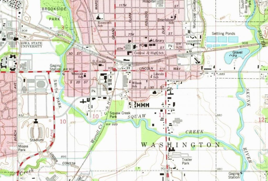
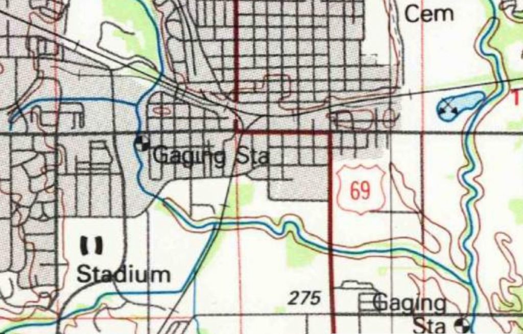
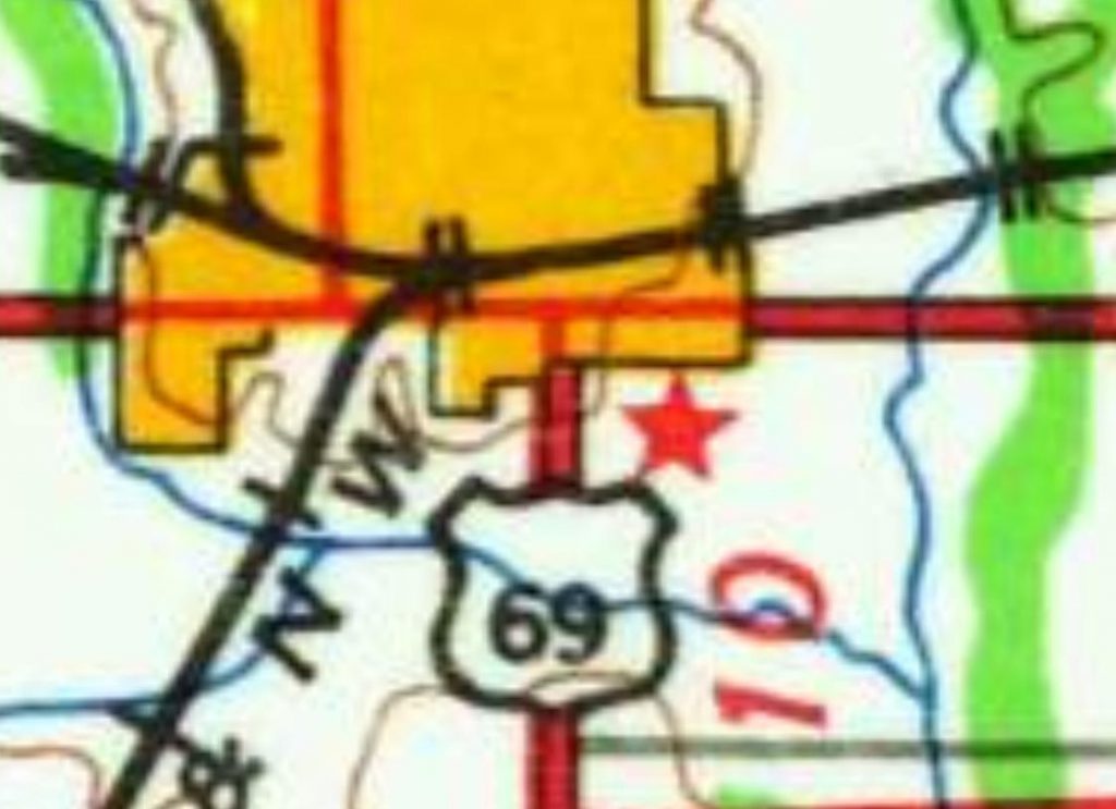
She highlighted the completion of the Historic United States Geological Survey (USGS) 24,000 Topographic Map series ArcGIS service. The 24k historic topo maps were downloaded from the USGS TopoViewer as georeferenced .tif files, inventoried and put into an ArcGIS mosaic dataset. The dates for those maps for Iowa are 1949-1986. They are currently in a published map service on ortho.gis.iastate.edu and as a layer in the Iowa Geographic Map Server (see map below.)


