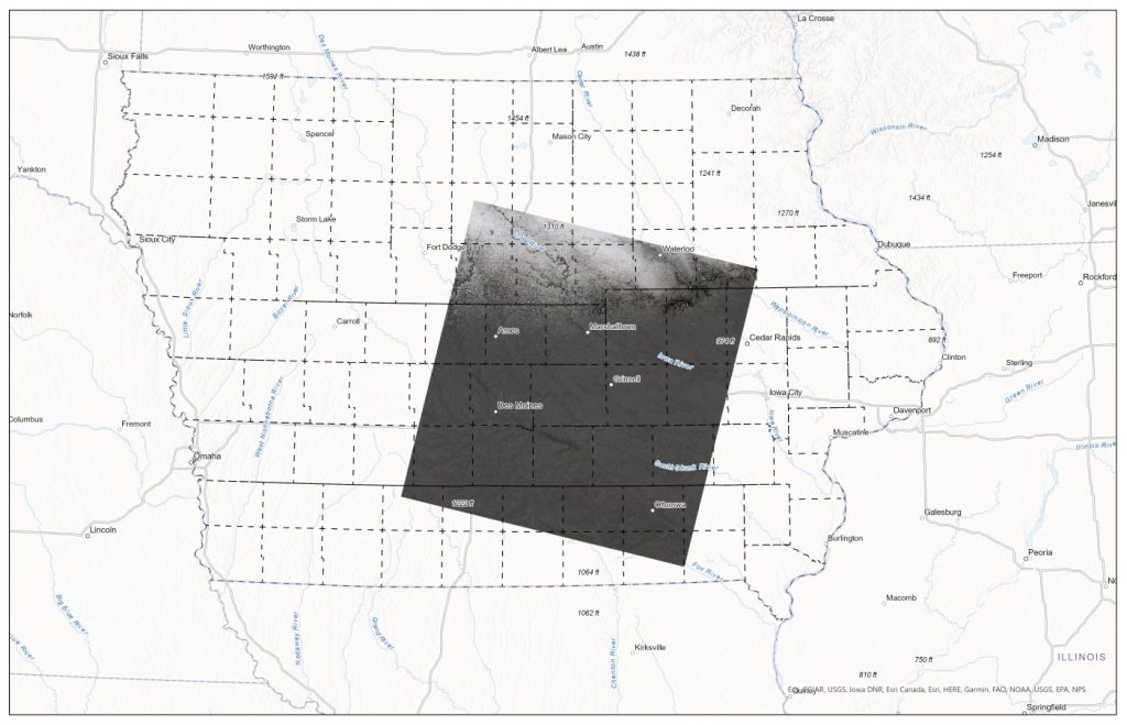
This Image was captured with Landsat 9 on December 12, 2021. Notice the snow dusting in the north part of the image.
Yesterday the United State Geological Survey (USGS) released the first 38,000 scenes collected from the recently launch Landsat 9 (September 2021). After much calibration and quality assurance here are some of the first clear images of Iowa. For more images visit USGS Earth Explorer: https://earthexplorer.usgs.gov/.
The images above illustrate the differences in scale between 24K, 100K, and 250K USGS Topographic Maps. Notice the change in level of detail.
The ISU GIS Facility Manager, Robin McNeely, recently gave a presentation for the Iowa Geographic Information Council Lunch and Learn series about new data products that the GIS Facility has been producing. Here is a link to watch Robin’s presentation, which begins around (29:20): https://iastate.webex.com/iastate/ldr.php?RCID=64ed815f6c8eaa323fa5c88cc36d7d60.
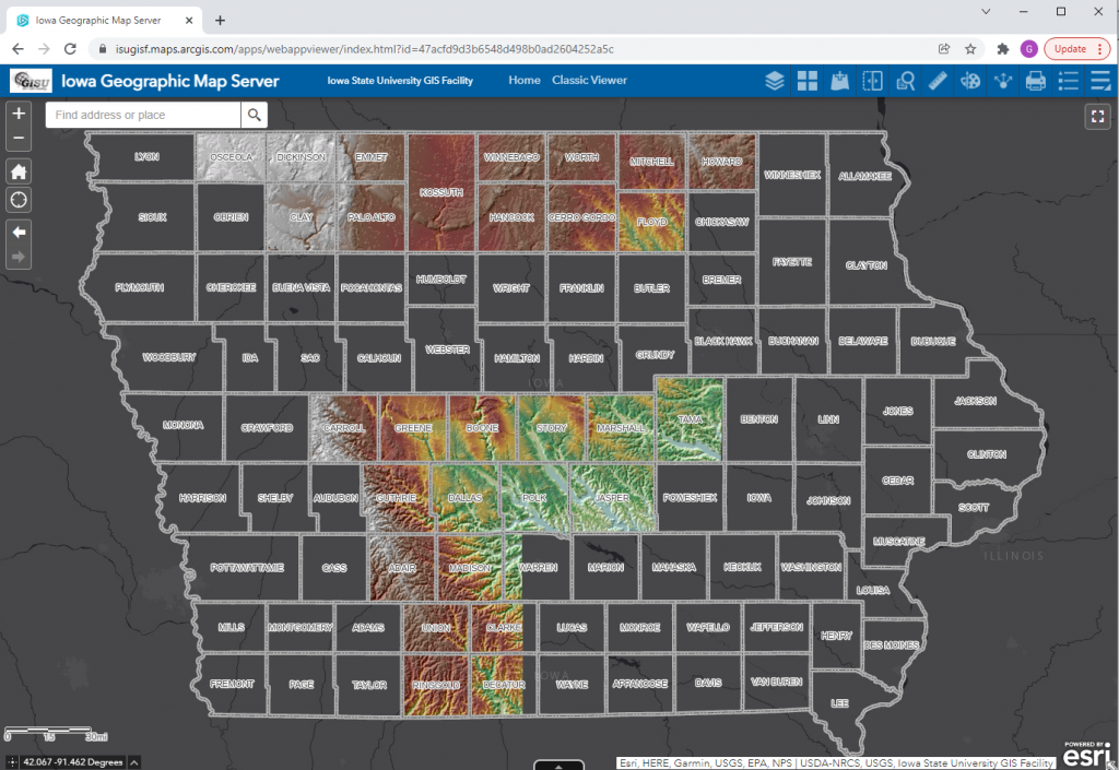
She highlighted the completion of the Historic United States Geological Survey (USGS) 24,000 Topographic Map series ArcGIS service. The 24k historic topo maps were downloaded from the USGS TopoVieweras georeferenced .tif files, inventoried and put into an ArcGIS mosaic dataset. The dates for those maps for Iowa are 1949-1986. They are currently in a published map service on ortho.gis.iastate.edu and as a layer in the Iowa Geographic Map Server (see map below.)
A few years back, Tyler Danielson, a GIS professional at Bolton and Menk, Inc. wrote a book called Lindsey the GIS Professional to help describe working with a geographic information system (GIS). In the book, Lindsey explains the information needed to create a map and how to collect it. Then she shows how to take that information to make a map of her favorite park. It gives readers a good introduction to the basics of GIS.Click here to read the book online: https://www.bolton-menk.com/books/lindsey/Lindsey.html.
Since the publication of the book, there have been several other companion resources produced. They can be found at www.LindseyLovesMaps.com:
At Home Activities – a maze, dot connect, data collection activity, analyzing data activity, drawing maps, and map coloring pages.
Teacher Resources – This includes a teacher guide and shows how the book, Lindsey the GIS Professional matches up with English, Social Studies and Science standards.
The coolest thing is that this story is based off of a real LINDSEY!
As we begin this new year you may want to challenge yourself with a new skill. Esri has a 6-week program, Learn ArcGIS Educator Program for New Users, available to give you an introduction to many of the core applications available for the classroom. Each week you will spend time watching videos related to the topic, take notes, share you thoughts using Flipgrid and discussion boards. For more information and resources visit the Learn ArcGIS Educator Program Hub:https://learn-arcgis-educator-program-new-user-learngis.hub.arcgis.com/pages/welcome.
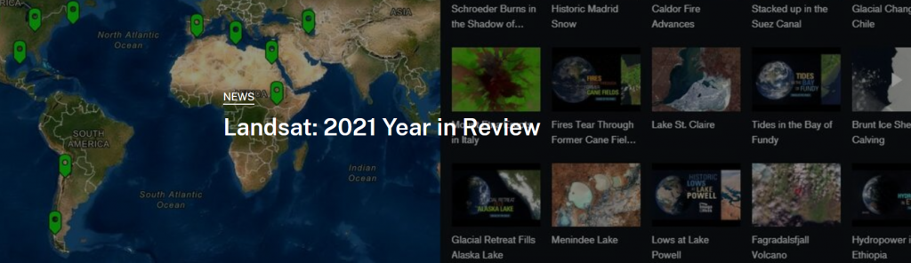
USGS just released a Story Map summary wrapping up 2021 and the exciting developments with the Landsat mission including a newly launched satellite and 10 million scenes in the archive mark two high points.
December 2021 IGIC Lunch & Learn: Iowa/Utah Geospatial Exchange
This presentation will provide an introduction to the Iowa Geospatial Conference Exchange, a program to encourage sharing of GIS programs, data, and knowledge between state organizations. Amy Logan and Penny Vossler have returned from geospatial exchange in Utah with examples of Utah’s geographic resources and strengths, some great ideas from their conference, new friends, and great photos to share.
The Iowa Orthoserver (also known as the Iowa Geographic Map Server) has a variety of resources available to enhance and serve users. Today we are highlighting the Aerial Photo Dates layer. This layer allows users to determine the date of a particular image.
Open the Iowa Geographic Map Server ArcGIS Web App.
Select the first icon – Choose Map Layers (looks like 3 stacked sheets of paper.)
Scroll down to the Iowa – Aerial Photo Dates layer and then check the box to turn it on.
Expand the menu by clicking the tiny gray arrow to the left of the check box.
Now turn on whichever year of flight date you wish to use (the orange areas symbolize the flight paths and within them will appear the flight dates.)
*Please note* for some of the older imagery years (example 1930s, 1950s, etc.), you need to be zoomed in for the flight dates to appear. Zoom into an area of interest, the flight patterns and dates will be shown.
The statewide 2021 NAIP flight date layer is not yet available. This will be released when the layer is available. If you would like information regarding specific areas for the 2021 flight, please contact Amy Logan.