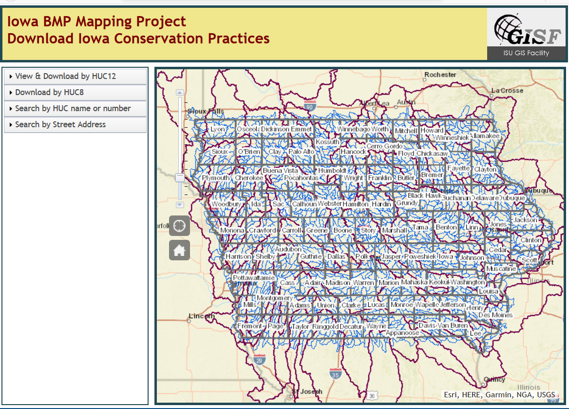
Iowa BMP Mapping Project Website
Have you seen this online tool for downloading conservation practices by watershed in Iowa?
Check out the online tool: https://bensonvip.gis.iastate.edu/ISU/BMP/BMP.html

Have you seen this online tool for downloading conservation practices by watershed in Iowa?
Check out the online tool: https://bensonvip.gis.iastate.edu/ISU/BMP/BMP.html

The ISU GIS Facility recently rolled out a new website (http://www.gis.iastate.edu/gisf/projects/conservation-practices) that allows users to download completed data sets from the Iowa BMP Mapping Project. Each file geodatabase contains 6 mapped conservation practices: contour buffer strips, grassed waterways, stripcropping, pond dams, terraces, and WASCOB (water and sediment control basins.) The website also allows visitors to preview the data available in the file geodatabases by downloading a pdf. Please use this valuable resource.