Tag Archives: COVID-19

What does social distancing look like? – A View from Space

A couple weeks ago Bloomberg News posted an interesting article (click here to read the article) showing how the stay at home orders are effecting areas around the world using high resolution satellite imagery. Below is an example showing Venice, Italy on October 20, 2019 compared to March 18, 2020 after the residents were asked to stay at home. It is interesting to compare the water clarity and traffic.

Venice, Italy: Notice the change in water traffic and water clarity after the Italy began ordering residents to stay at home. Source: Bloomberg.com

The article highlights numerous sites around the globe including: Wuhan, China (before shutdown / after shutdown); Mecca in Saudia Arabia; Venice, Italy; Epcot Center in Florida, USA; Tianjin, China; and Miami Beach, Florida, USA.

Resource: What It Looks Like From Space When Everything Stops, Eric Roston, March 24, 2020, Bloomberg.com

COVID-19 GIS Map Resources

The geospatial community has been doing a good job of mapping known COVID-19 cases. Having data in a map can often help us with decision making and help keep things in perspective.

ESRI has a COVID-19 GIS Hub which has a lot of great maps, data and applications.

Below are links to three maps that I have found useful:

– John Hopkins University has a map of global cases of the Coronavirus COVID-19 including data about confirmed cases, deaths, recovered, and active cases: https://www.arcgis.com/apps/opsdashboard/index.html#/bda7594740fd40299423467b48e9ecf6

– University of Washington has a more detailed map showing the “infection cases” in the United States. This map has descriptive information about the cases which I have found helpful in understanding more about how the virus and transmission. https://hgis.uw.edu/virus/

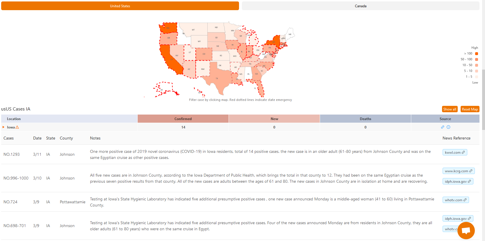
– Another map that I have found helpful was produced by 1point3acres, it provides details about each individual case and includes case number, date confirmed, county, and other case notes. https://coronavirus.1point3acres.com/en

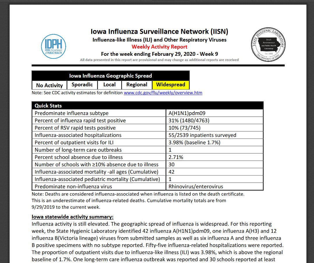
The Iowa Department of Public Health also produces a weekly Flu report (Iowa Influenza Surveillance Network) which gives very detailed information about the state of influenza-like illnesses across the state throughout the flu season. https://idph.iowa.gov/influenza/reports