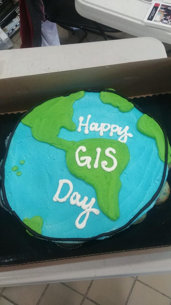
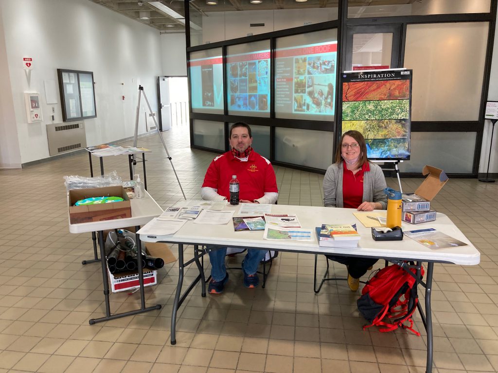
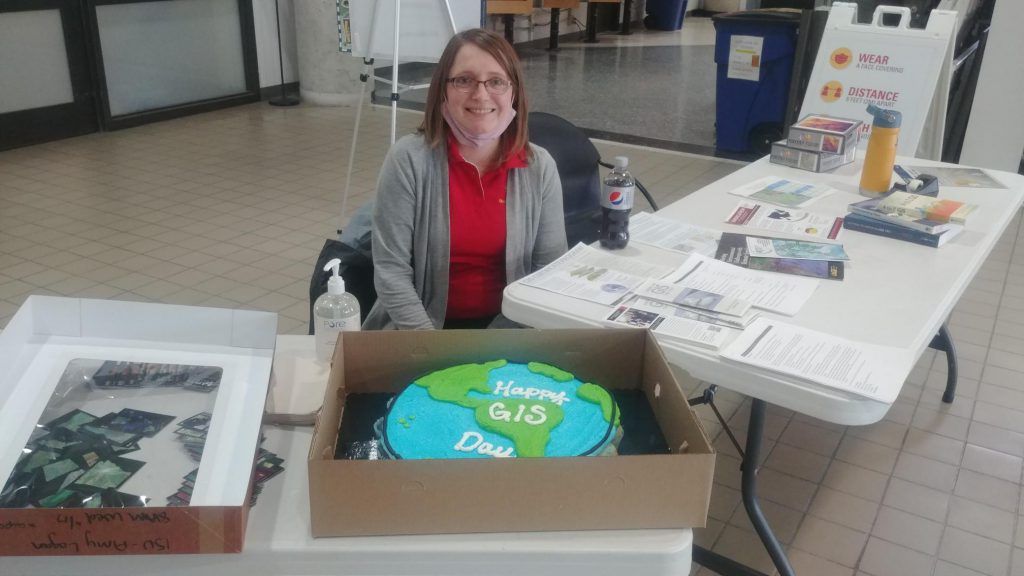
Here are photos from yesterday’s GIS Day event. We had over 50 visitors stop by our table in the ISU College of Design lobby for information about undergraduate minor in GIS and graduate GIS certificate, cupcakes, posters, trading cards and to help put our map puzzles together.
Join the ISU Geographic Information Systems Support and Research Facility to celebrate GIS Day! Enjoy themed cupcakes and poster and trading card giveaways, and learn more about the Geographic Information Science minor and GIS graduate certificate program.
The event will be from 2–4 p.m. Wednesday, Nov. 17, in the foyer inside the main entrance to the College of Design.
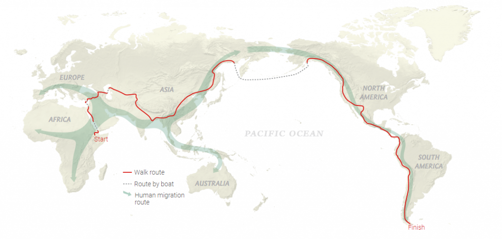
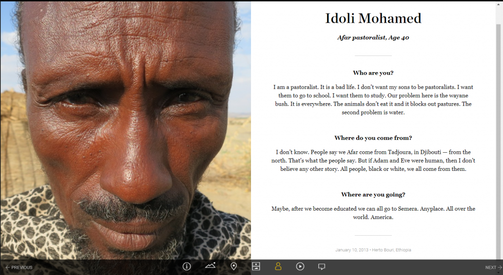
To kick off Geography Awareness week, explore the amazing journey of geographer, Paul Salopek’s 24,000 mile journey across the globe. During his 10-year journey he documented the places and people he encounter every 100 miles. At each of these milestones, he documents the date, location, elevation, shows a picture of his feet and the sky at that location, and interviews the first person he meets asking them 3 questions: who are you, where do you come from, and where are you going?
Over the past few years the ISU GIS Facility has hosted a number of mapathons. Most of our mapathons have a time set aside for mapping in Iowa and then a time where we focus on international projects.
It is amazing what even a small group of mappers can do to add to the OpenStreetMap basemap in a small town in Iowa. Below are three examples of demonstrating how a mapathon event can add to the OpenStreetMap.
As a way to celebrate GIS Day and OpenStreetMap, we are encouraging everyone to go online either during this week or on GIS Day and contribute to the OpenStreetMap basemap. You may consider improving the basemap in your own community. Here are several projects to consider:
Public Lab Mongolia – https://tasks.hotosm.org/projects/9560/ Public Lab Mongolia (PLM), a local non-governmental organization in Mongolia, is leading the Mongolian chapter for volunteer mappers through the HOTmicrogrant COVID-19 project, as part of their mission to promote open data and disaster preparedness. This mapping will also help with COVID-19 response efforts. This project is to map Ulaanbaatar capital city of Mongolia, is organized by PLM in collaboration with the Mongolian Geo-spatial Association and local universities.
Hurricane Eta – Nicaragua – https://tasks.hotosm.org/projects/9765 Hurricane Eta brought wind, rain and storm surge to the coast of Nicaragua. This project is to finish the basemap of Bilwi (Puerto Cabezas) by digitizing buildings from MAXAR imagery. Available to beginners, there may be tricky tasks in this project as some areas have been partially mapped with older imagery and vegetation can often hide parts of structures. Make sure to review the instructions for tips on how to overcome these challenges and provide high quality data.
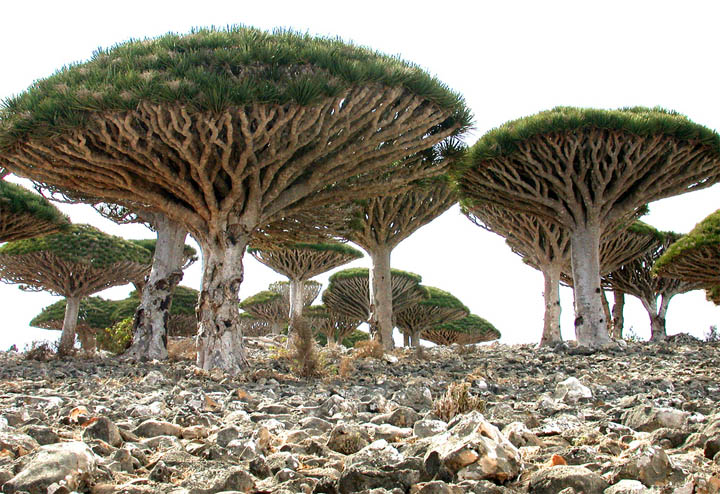
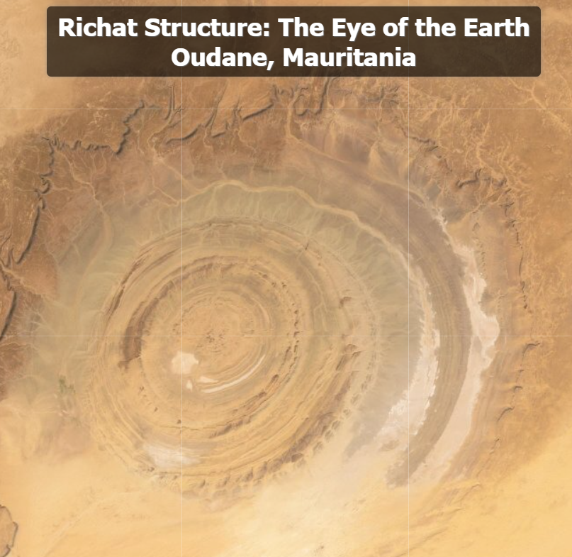
Today we will be joining Joseph Kerski, a Geographer and GIS education enthusiast, exploring Weird Earth: Exploring the Earth with Interesting, Bizarre, and Odd Imagery. Joseph provides a narrated video on Youtube (primarily targeted at educators) but you can also explore these fascinating places on your own using this ArcGIS Online map. Thank you, Joseph, for taking us to new places and uncover hidden gems on our planet!
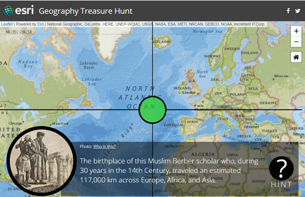
Let’s kick off Geography Awareness Week with some trivia: https://treasurehunts.storymaps.esri.com/pioneers/. Test your knowledge of some of the pioneers of geography and GIS. Good luck! Learn something new!
Geography Awareness Week continues with the celebration of GIS Day.
Participate in the international celebration of geographic information systems (GIS) technology. GIS is a scientific framework for gathering, analyzing, and visualizing geographic data to help us make better decisions. On GIS Day, help others learn about geography and the real-world applications of GIS that are making a difference in our society. It’s a chance for you to share your accomplishments and inspire others to discover and use GIS. – From the ESRI GIS Day website
Check out ESRI’s list of 101 ways to participate in GIS Day. Here are a couple ideas that stuck out: 27. Submit a story map to the 2019 StoryMapper of the Year Contest. I have heard of storymapping student contests but apparently ESRI also has a contest open to anyone with a $5,000 prize. 61. Wear your favorite GIS shirt. My favorite map shirt features the Upper Pennisula of Michigan. What about you? 92. Complete a Learn ArcGISlesson. This is a cool site with real world guided GIS lessons.