Day 3 GAW 2023: GIS Day is here!
Sure hope you can join us for this fun day celebrating GIS and the research going on at Iowa State University!


Sure hope you can join us for this fun day celebrating GIS and the research going on at Iowa State University!


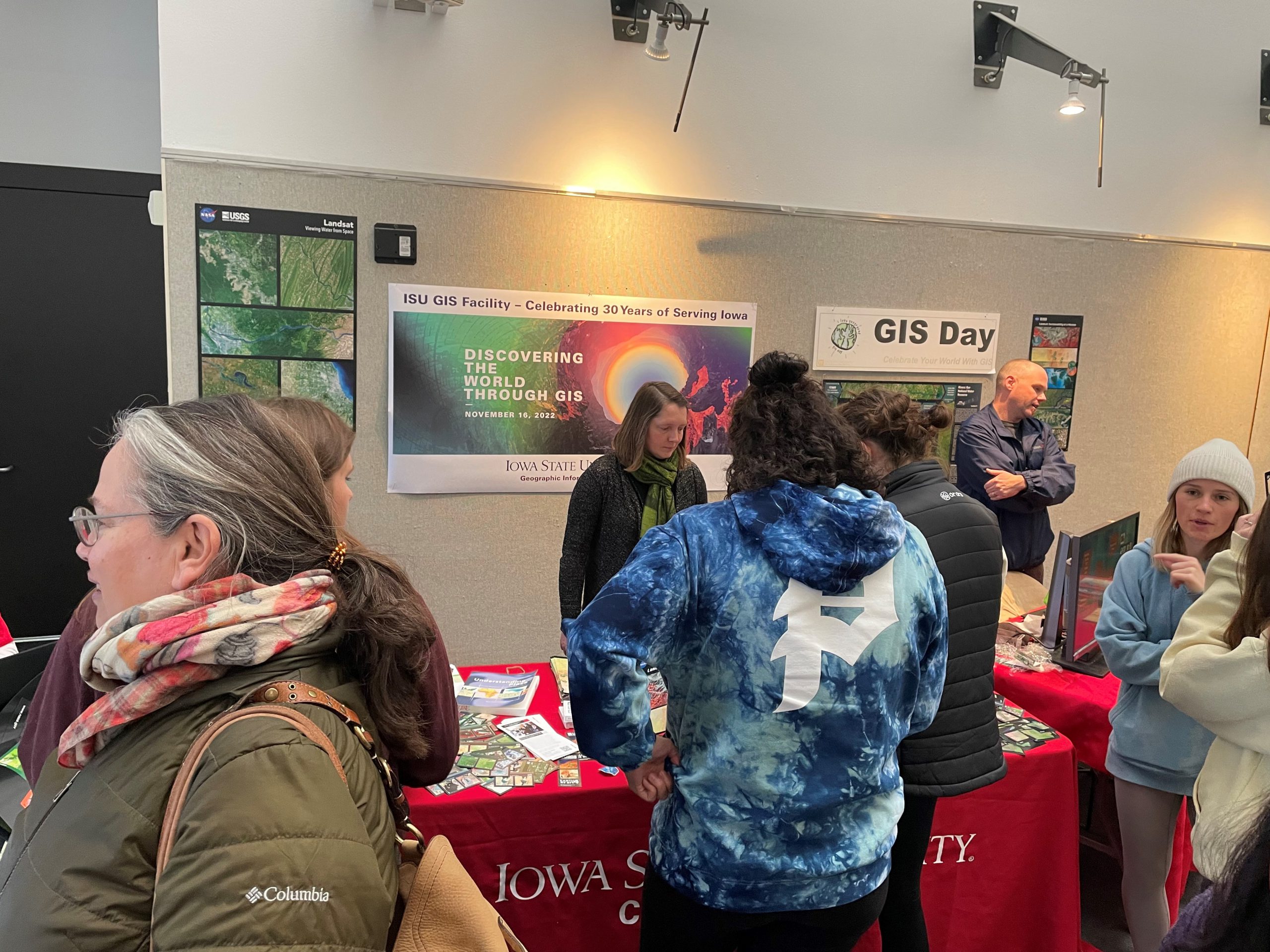
Celebrating 30 years of GIS at ISU today on GIS Day! We also celebrated the 50th anniversary of Landsat and were able to hand out playing cards, refreshments, posters, and other educational materials. This was a great opportunity for our staff in the GIS facility to share the work that they are doing, and teach others about GIS.


As a way to celebrate GIS Day and OpenStreetMap, we are encouraging everyone to go online either during this week or on GIS Day and contribute to the OpenStreetMap basemap. You may consider improving the basemap in your own community. Here are several projects to consider:
Public Lab Mongolia – https://tasks.hotosm.org/projects/9560/
Public Lab Mongolia (PLM), a local non-governmental organization in Mongolia, is leading the Mongolian chapter for volunteer mappers through the HOTmicrogrant COVID-19 project, as part of their mission to promote open data and disaster preparedness. This mapping will also help with COVID-19 response efforts. This project is to map Ulaanbaatar capital city of Mongolia, is organized by PLM in collaboration with the Mongolian Geo-spatial Association and local universities.
Hurricane Eta – Nicaragua – https://tasks.hotosm.org/projects/9765
Hurricane Eta brought wind, rain and storm surge to the coast of Nicaragua. This project is to finish the basemap of Bilwi (Puerto Cabezas) by digitizing buildings from MAXAR imagery. Available to beginners, there may be tricky tasks in this project as some areas have been partially mapped with older imagery and vegetation can often hide parts of structures. Make sure to review the instructions for tips on how to overcome these challenges and provide high quality data.
Explore your own project: https://tasks.hotosm.org/explore

Join us this week, November 15-21, 2020, as we celebrate Geography Awareness Week. Throughout we will be posting various activities and videos from our friends at OpenStreetMap, National Geographic, and Esri to help you get engage and get informed.
As a way to celebrate GIS Day and OpenStreetMap, we are encouraging everyone to go online either during this week or on GIS Day and contribute to the OpenStreetMap basemap. If you are interested and would like more information about how to get started, please email, Amy Logan.
If this is your first time using OpenStreetMap, sign up for an OpenStreetMap account: https://www.openstreetmap.org/user/new. Then look over this helpful resource from TeachOSM about how to get started and build proficiency with OpenStreetMap: (https://ubique.americangeo.org/wp-content/uploads/2019/09/2_buildings_worksheet_1-2.pdf)
Geography Awareness Week continues with the celebration of GIS Day.
Participate in the international celebration of geographic information systems (GIS) technology. GIS is a scientific framework for gathering, analyzing, and visualizing geographic data to help us make better decisions. On GIS Day, help others learn about geography and the real-world applications of GIS that are making a difference in our society. It’s a chance for you to share your accomplishments and inspire others to discover and use GIS. – From the ESRI GIS Day website

Check out ESRI’s list of 101 ways to participate in GIS Day. Here are a couple ideas that stuck out:
27. Submit a story map to the 2019 StoryMapper of the Year Contest. I have heard of storymapping student contests but apparently ESRI also has a contest open to anyone with a $5,000 prize.
61. Wear your favorite GIS shirt.
My favorite map shirt features the Upper Pennisula of Michigan. What about you?
92. Complete a Learn ArcGIS lesson.
This is a cool site with real world guided GIS lessons.