Tag Archives: Iowa Geographic Map Server

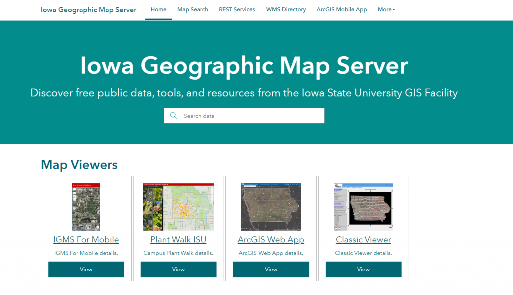
Day 5 GAW: Have you discovered the Iowa Geographic Map Server?

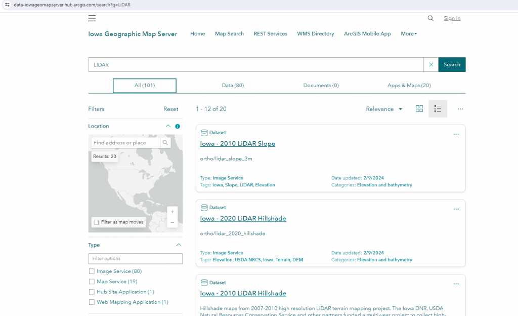
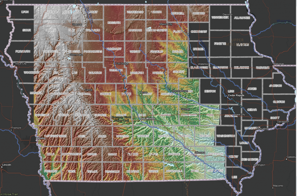
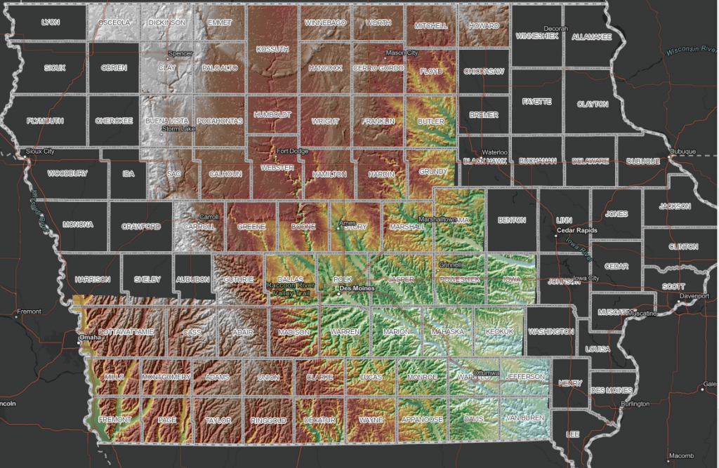
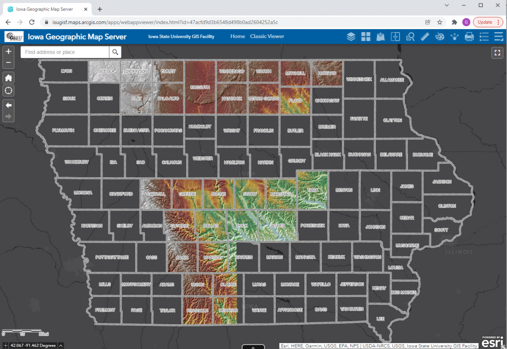
  • elevation maps (LiDAR and USGS topographic maps),
  • historical maps (General Land Office survey maps from 1800s, Andreas Atlas, historic topography),
  • land cover maps (historical and contemporary)
  • geology (landforms and bedrock)

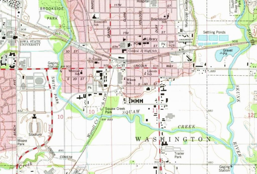
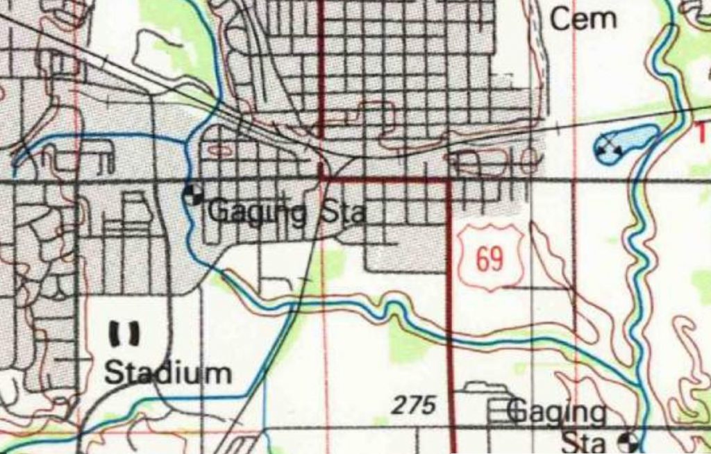
New Data Products from the ISU GIS Facility: 24K Topo Maps 1949-1986


The ISU GIS Facility Manager, Robin McNeely, recently gave a presentation for the Iowa Geographic Information Council Lunch and Learn series about new data products that the GIS Facility has been producing. Here is a link to watch Robin’s presentation, which begins around (29:20): https://iastate.webex.com/iastate/ldr.php?RCID=64ed815f6c8eaa323fa5c88cc36d7d60.

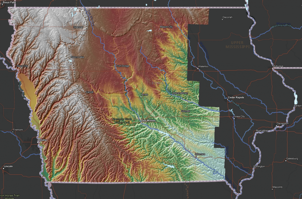
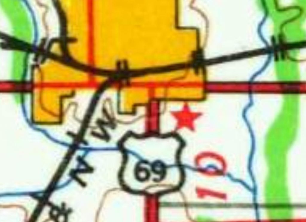
She highlighted the completion of the Historic United States Geological Survey (USGS) 24,000 Topographic Map series ArcGIS service. The 24k historic topo maps were downloaded from the USGS TopoViewer as georeferenced .tif files, inventoried and put into an ArcGIS mosaic dataset. The dates for those maps for Iowa are 1949-1986. They are currently in a published map service on ortho.gis.iastate.edu and as a layer in the Iowa Geographic Map Server (see map below.)

Aerial Photo Dates Layer: A Helpful Tip for Getting the Most of ISU Orthoserver

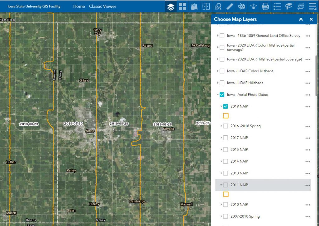
The Iowa Orthoserver (also known as the Iowa Geographic Map Server) has a variety of resources available to enhance and serve users. Today we are highlighting the Aerial Photo Dates layer. This layer allows users to determine the date of a particular image.

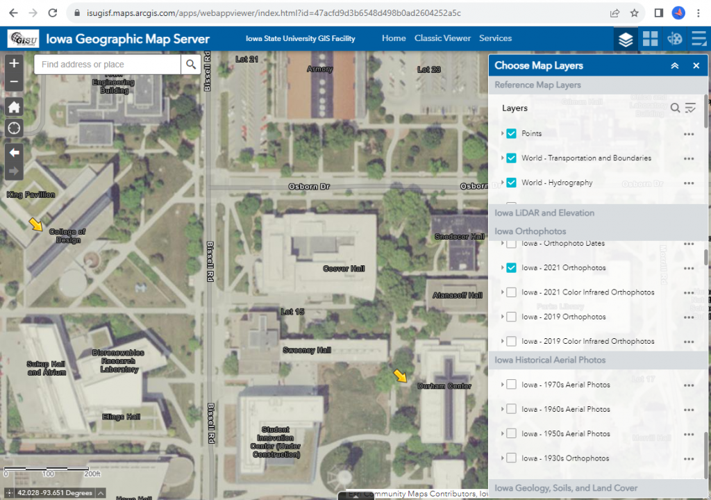
Here are the basic steps to using the Aerial Photo Dates layer in the Iowa Geographic Map Server ArcGIS Web App:

  1. Open the Iowa Geographic Map Server ArcGIS Web App.
  2. Select the first icon – Choose Map Layers (looks like 3 stacked sheets of paper.)
  3. Scroll down to the Iowa – Aerial Photo Dates layer and then check the box to turn it on.
  4. Expand the menu by clicking the tiny gray arrow to the left of the check box.
  5. Now turn on whichever year of flight date you wish to use (the orange areas symbolize the flight paths and within them will appear the flight dates.)
  6. *Please note* for some of the older imagery years (example 1930s, 1950s, etc.), you need to be zoomed in for the flight dates to appear. Zoom into an area of interest, the flight patterns and dates will be shown.

The statewide 2021 NAIP flight date layer is not yet available. This will be released when the layer is available. If you would like information regarding specific areas for the 2021 flight, please contact Amy Logan. 

Summer 2021 NAIP Imagery Now on ISU Orthoserver

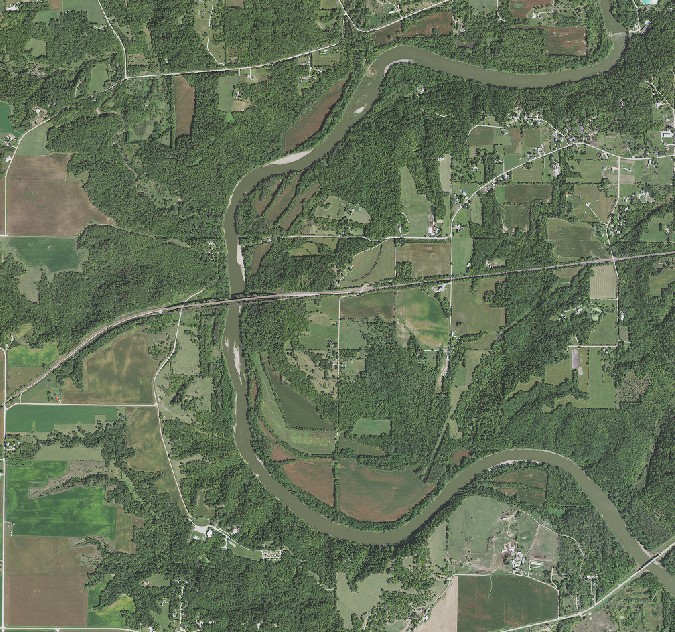
Iowa Statewide summer 2021 imagery is now available as a webservice from the Iowa Geographic Map Server. https://ortho.gis.iastate.edu/arcgis/rest/services/ortho
Please note: you may have to adjust the symbology to get the best color.

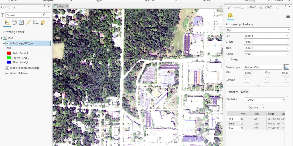
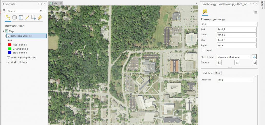
Here are some suggestions for doing this is ArcGIS Pro, within the Symbology tab, use the dropdown menus to adjust the color.

  • Change Stretch type to Minimum Maximum.
  • Also consider changing the Statistics from Dataset to DRA (Dynamic Range Adjustment). See the example below.
Before Adjustments

After Adjustments

Earth Observation Day – October 16, 2018


IowaView, in collaboration with ISU GIS Facility and AmericaView, will be hosting the annual Earth Observation Day celebration, Tuesday, October 16, 2018, in Durham 248 from 12:15 to 1pm as part of Earth Science Week.  This year, Gregg Hadish, a staff member of ISU GIS Facility and Iowa NRCS will be our featured speaker; he will give a hands-on demo of the Iowa Geographic Map Server (http://ortho.gis.iastate.edu/.) Iowa Geographic Map Server is browser-based website for statewide Iowa imagery. Gregg has been involved with the development of the Iowa Geographic Map Server for nearly twenty years.  The presentation will highlight recent innovations to the map server including an updated interface as well as many new features and image services. 

Iowa Geographic Map Server hosts statewide Iowa imagery dating back to the 1930s through spring 2018 as well as layers of elevation data (Lidar hillshade, contours), high-resolution land cover data, and historical data including the 1880s General Land Office maps and Andreas Atlas.  Many of the layers are available as web services within GIS software.  This is one of the most robust, publicly available, spatial imagery datasets in the country. This treasure trove of Iowa imagery that is waiting to be incorporated into your research.  This workshop is for all levels. There will also be time for questions.  If you plan to come, please RSVP with amylogan@iastate.edu as computer space is limited.