Traveling Way Back – Landsat Images From Aprils Gone By
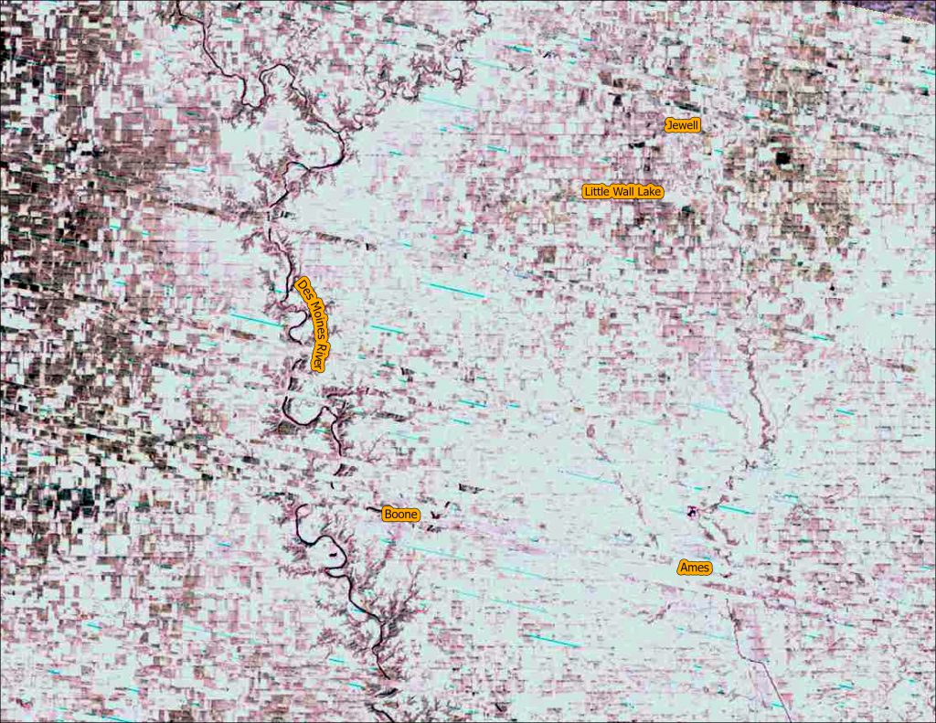
Welcome to another Throwback Thursday. Today we are going back into the archives to compare imagery from the first five Landsat satellites (all images are featured in natural color). Click on each image for a closer view.
- Try to notice the differences in resolution and image quality between the different years.
- Another thing to note is the wide seasonal variation between the images. All the images were from the same three week period in April. Some images are have snow while other years are very green.
- Observe that the Des Moines River is swollen in the Landsat 4 -1983 image.
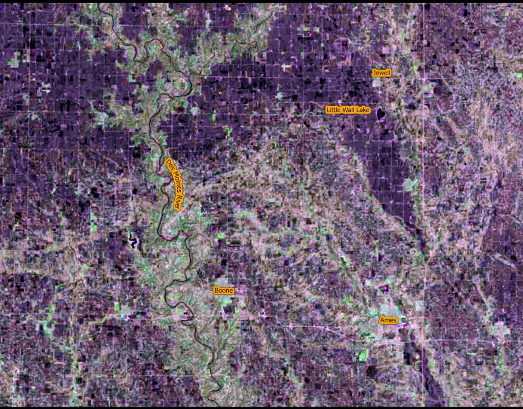
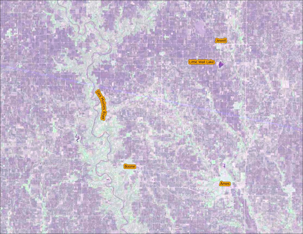
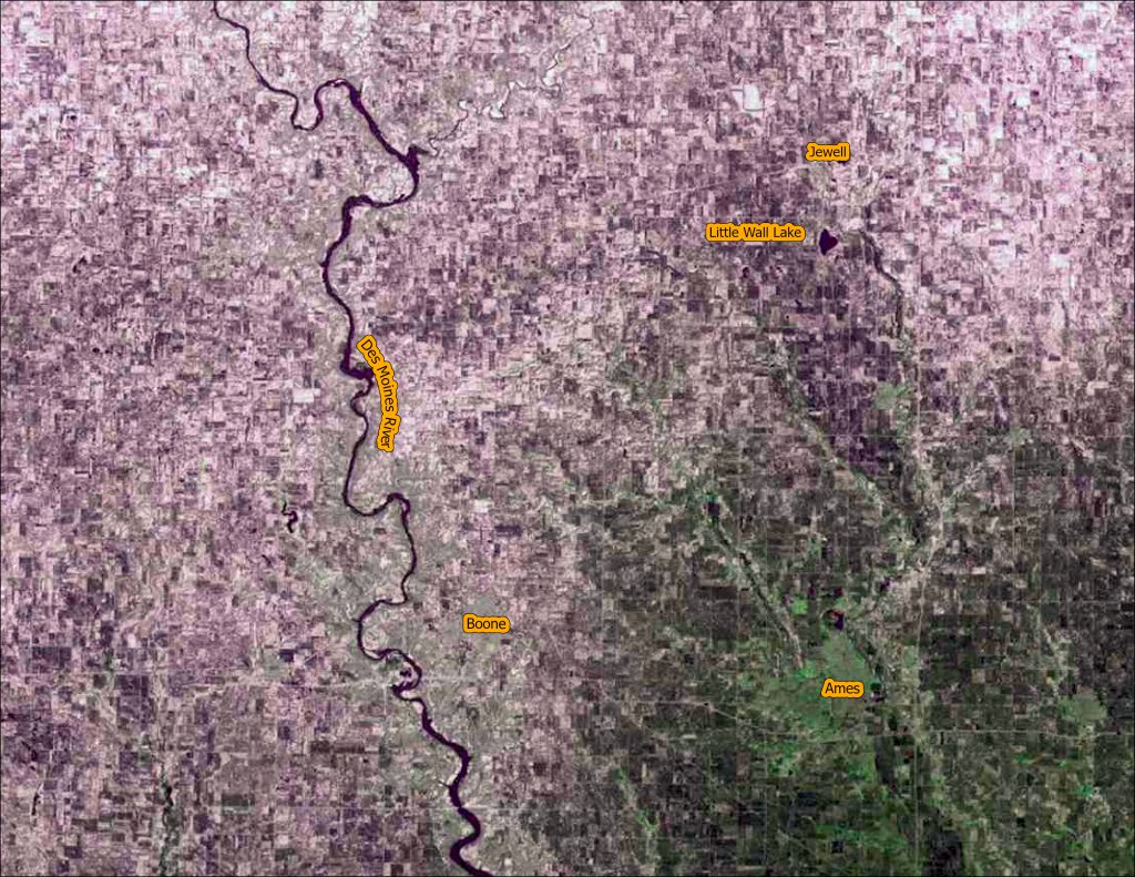
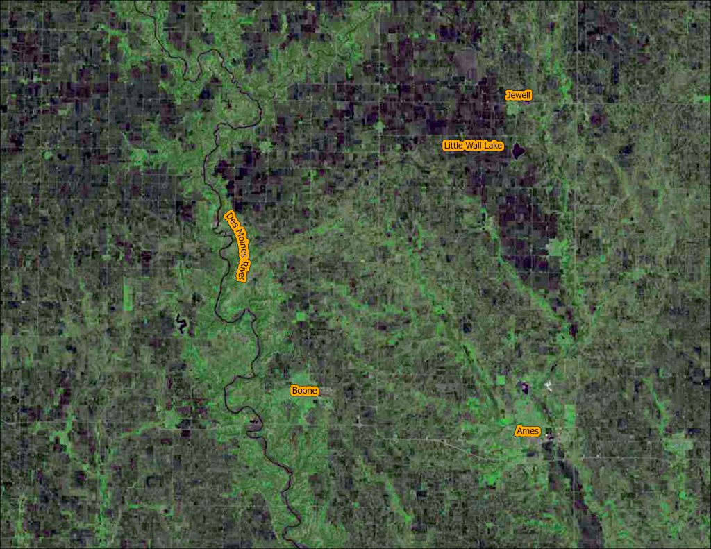
You can explore the raw images using this web app: https://arcg.is/0XrG4f. Happy exploring.
This year we are celebrating 50 years of the Landsat earth observing satellite mission. Landsat data helps us observe changes in our communities and environment over time.
Thanks for stopping by and keep observing the world around you!

