Come Celebrate ISU Earth Observation Day 2024 with us!

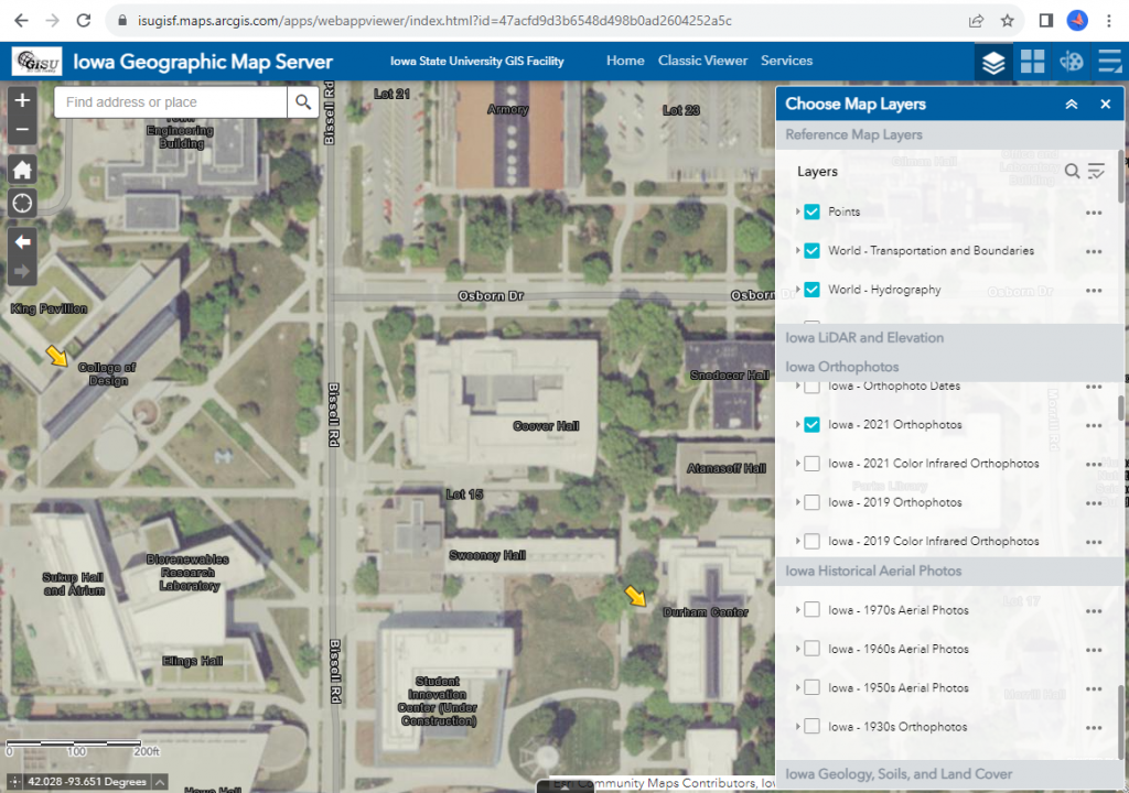
Next week, IowaView and the ISU GIS Facility will be hosting an Earth Observation Day celebration, on Tuesday, October 15, from 10:00 to 11:30 in Durham 206 as part of Earth Science Week 2024.
Here’s the schedule:
10:00 – 10:30 Dr. Antonio Arenas, Civil Construction & Environmental Engineering
Topic: Google Earth Engine and Open ET (Evapotranspiration)
10:30 – 11:00 Dr. Brian Gelder, Agricultural And Biosystems Engineering, ISU GIS Facility Research Lead
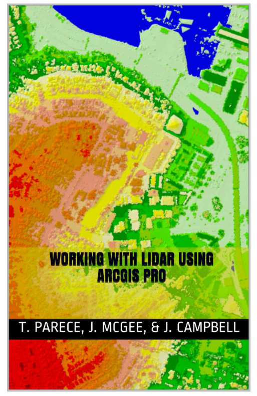
Topic: LiDAR Processing via ArcGIS and PDAL (a Python extension for translating point cloud data)
11:00 – 11:30 Bryce Pape – Graduate Student, Community and Regional Planning
Topic: Google Earth Engine and Agriculture Residue Cover
We will also provide snacks (a cupcake cake) and Earth Observation Day swag including booklets, posters, and trading cards. Please come and go as you need to. We look forward to seeing you there.


