Remembering the 2020 Midwest Derecho
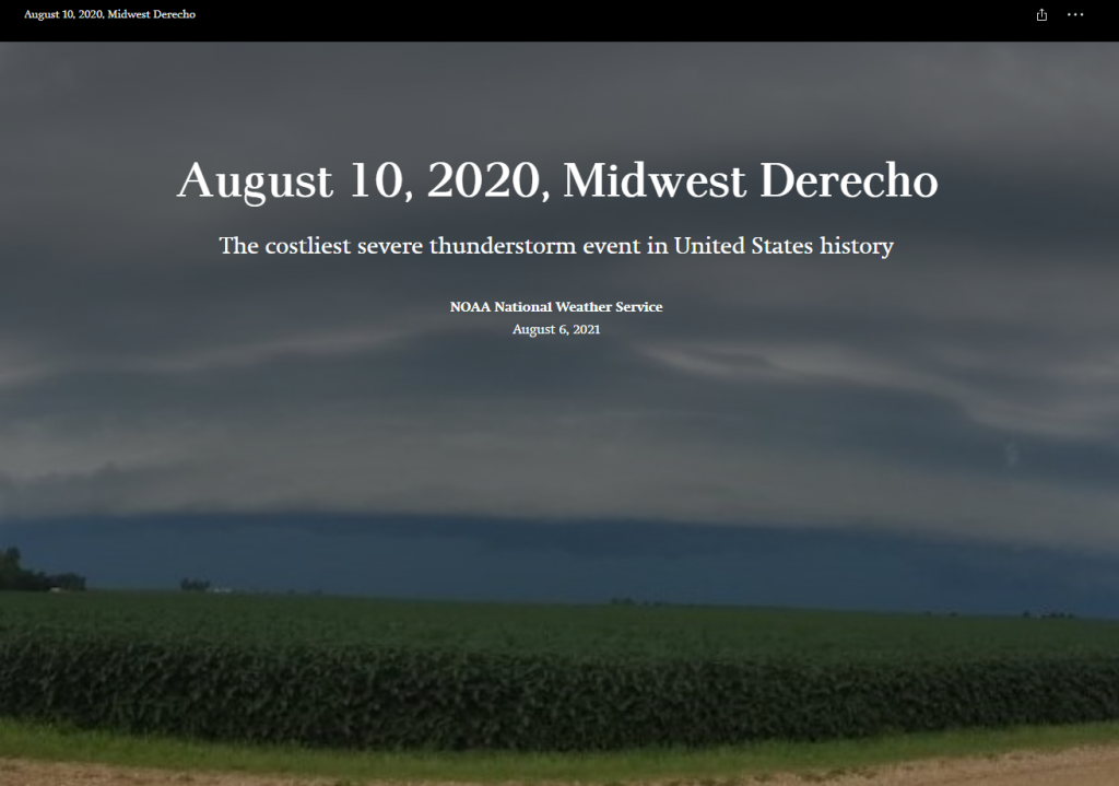
A year ago today a derecho, a series of thunderstorms with hurricane-like winds and heavy rains, struck Iowa with very little warning. The National Oceanic and Atmospheric Administration (NOAA) put together a multi-media story map to tell the tale of this eventful day. Hundreds of thousands of trees were lost or damaged. Homes and buildings were destroyed. Many people lost power for days or even weeks.
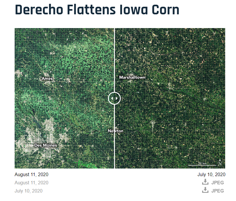
Have you visited the NASA’s Earth Observatory? It is a NASA website that helps make satellite imagery relevant to the general public and it is a great place to find images for presentations or use in the classroom. In August 2020, the Earth Observatory featured a comparison of satellite images from July 2020 and August 2020 to show the extent of the derecho damage on Iowa cropland.


