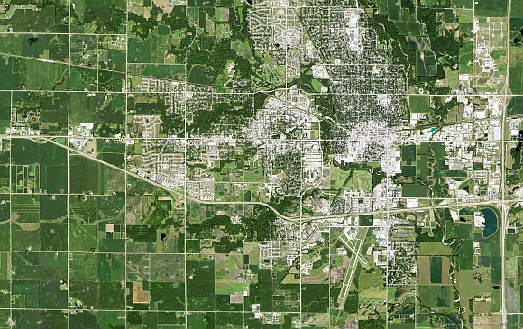
New Iowa Imagery Available!
The National Agriculture Imagery Program (NAIP) summer 2019 imagery is now available statewide for Iowa through image services and through the Iowa Geographic Map Server web viewers. The imagery is available in natural color and color infrared. There is also a layer associated with flight dates (Iowa-Aerial Photo Dates).

