New LiDAR available for North Central Iowa on the ISU Orthoserver
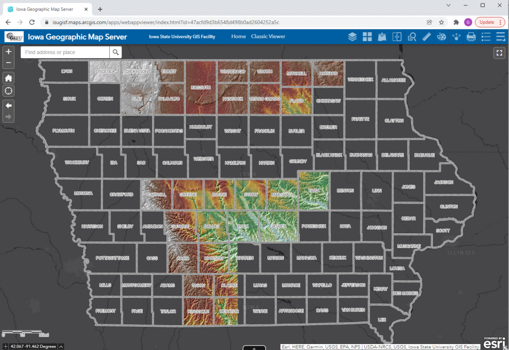
Web services providing 2020 LiDAR for more of the state have been published. To date about 28 counties have been completed.

Web services providing 2020 LiDAR for more of the state have been published. To date about 28 counties have been completed.

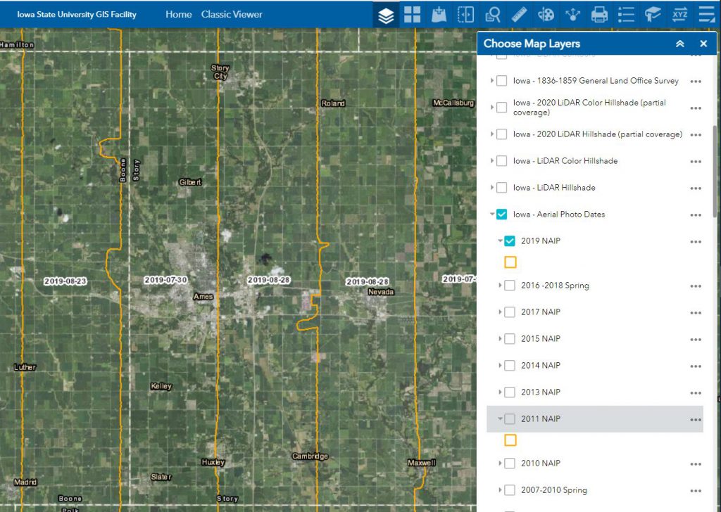
The Iowa Orthoserver (also known as the Iowa Geographic Map Server) has a variety of resources available to enhance and serve users. Today we are highlighting the Aerial Photo Dates layer. This layer allows users to determine the date of a particular image.
Here are the basic steps to using the Aerial Photo Dates layer in the Iowa Geographic Map Server ArcGIS Web App:

The statewide 2021 NAIP flight date layer is not yet available. This will be released when the layer is available. If you would like information regarding specific areas for the 2021 flight, please contact Amy Logan.