A Great Day For Earth Observation – Part II
The second part of Earth Observation Day was dedicated to using OpenStreetMap to remotely map Wayland, Iowa and Mindanao region of the Philippines.
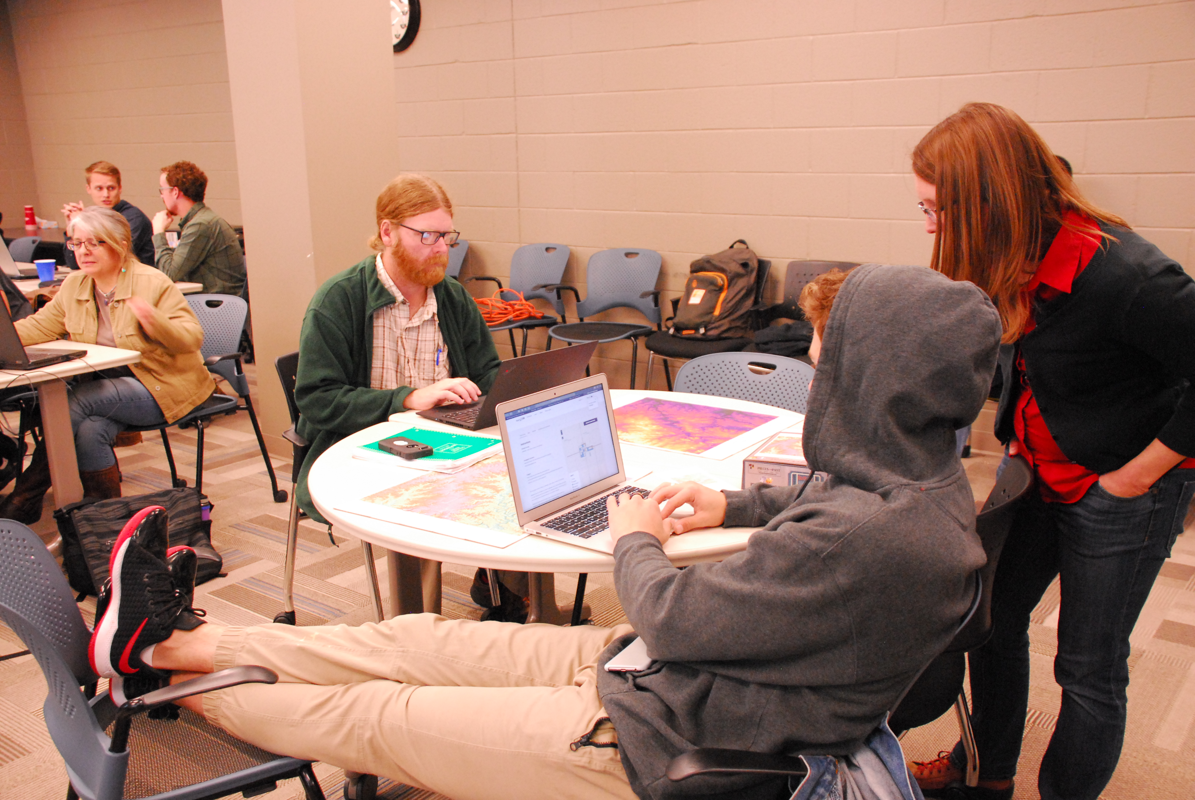
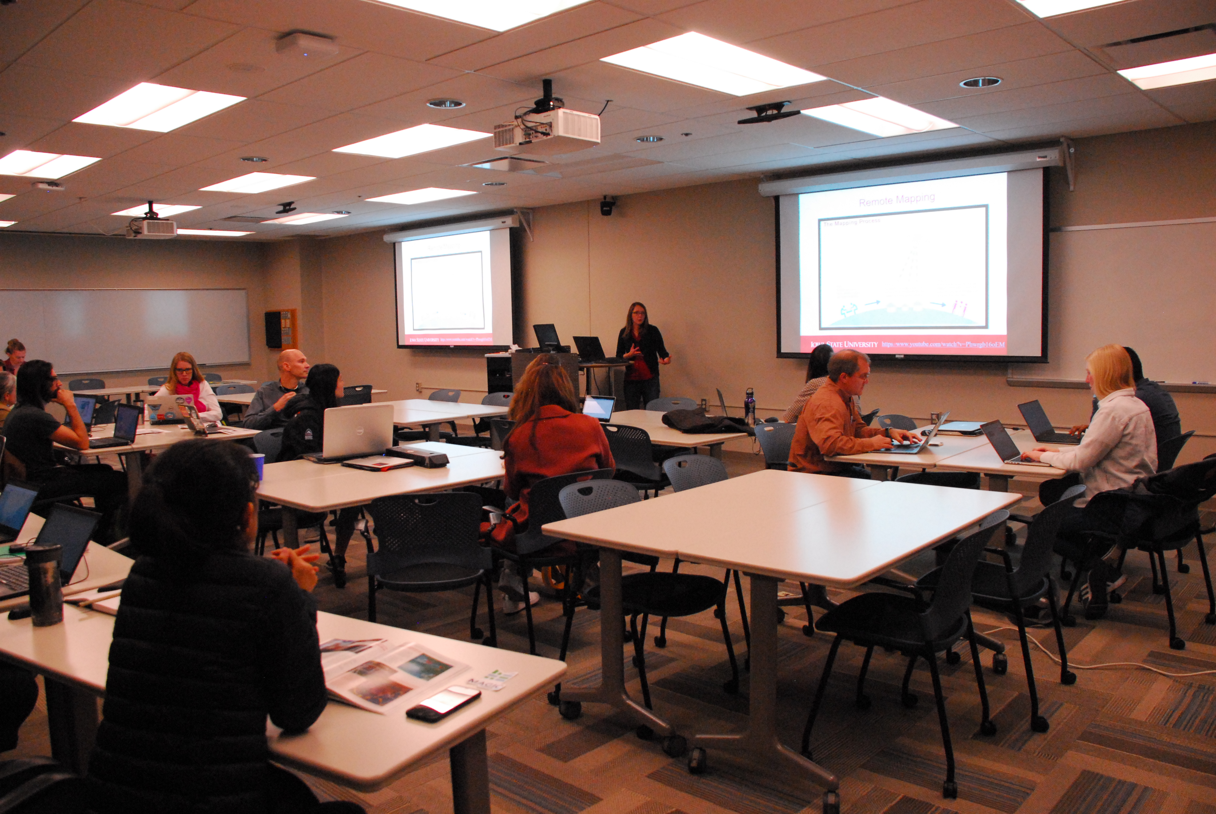
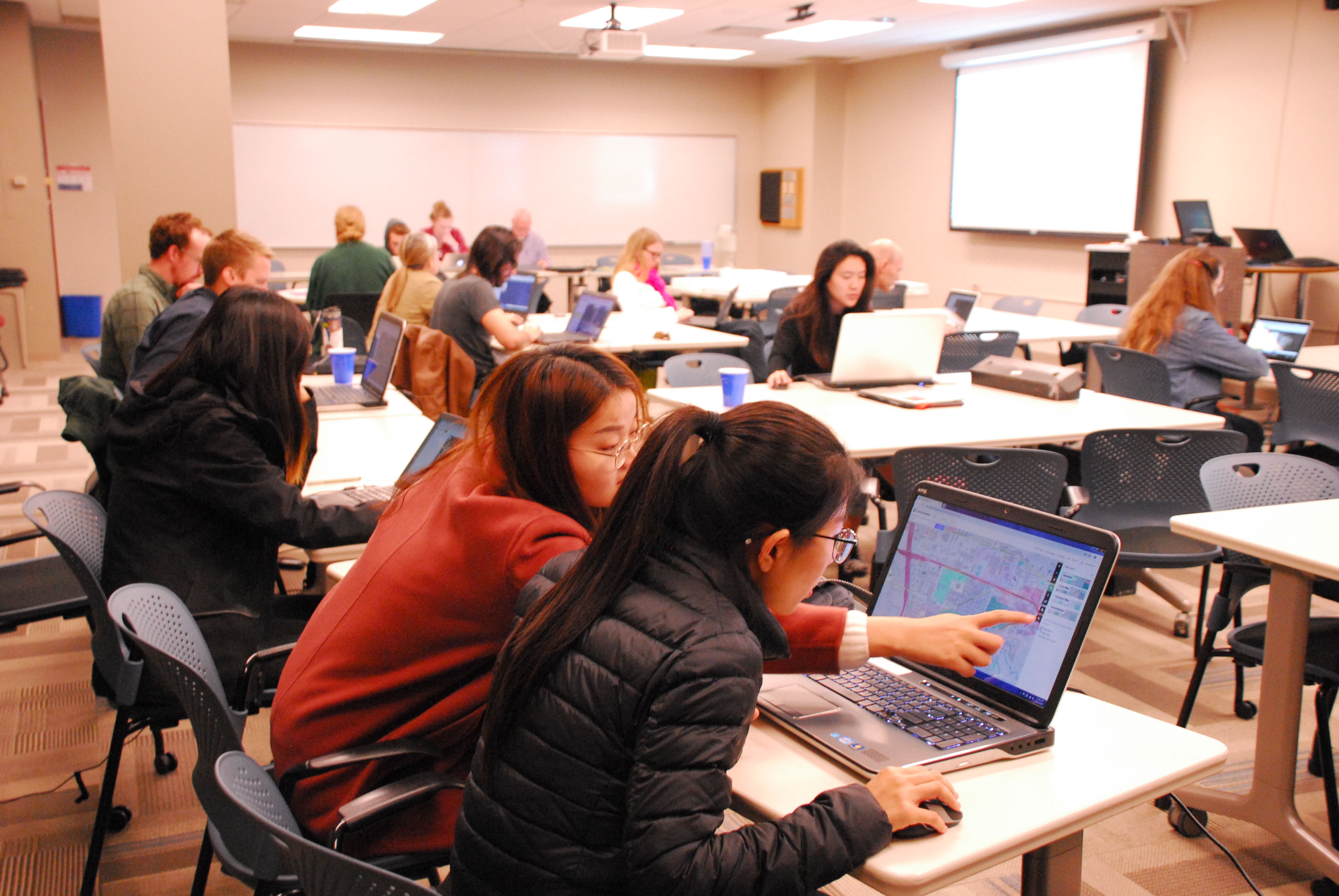
Amy Logan, an IowaView staff member, gave a brief introduction to remote sensing and OpenStreetMap. Then mappers began working on a TeachOSM task – Improving the Iowa OSM Basemap: Wayland, Iowa (https://tasks.teachosm.org/project/981). Beverly Conrad, the city clerk of Wayland came for the mapathon and was able to provide local knowledge about the areas participants were mapping. New mappers were encouraged to do the OSM iD Editor Walk-through before they began mapping. It provides users with a nice hands-on introduction of the OpenStreetMap interface and how to create data.
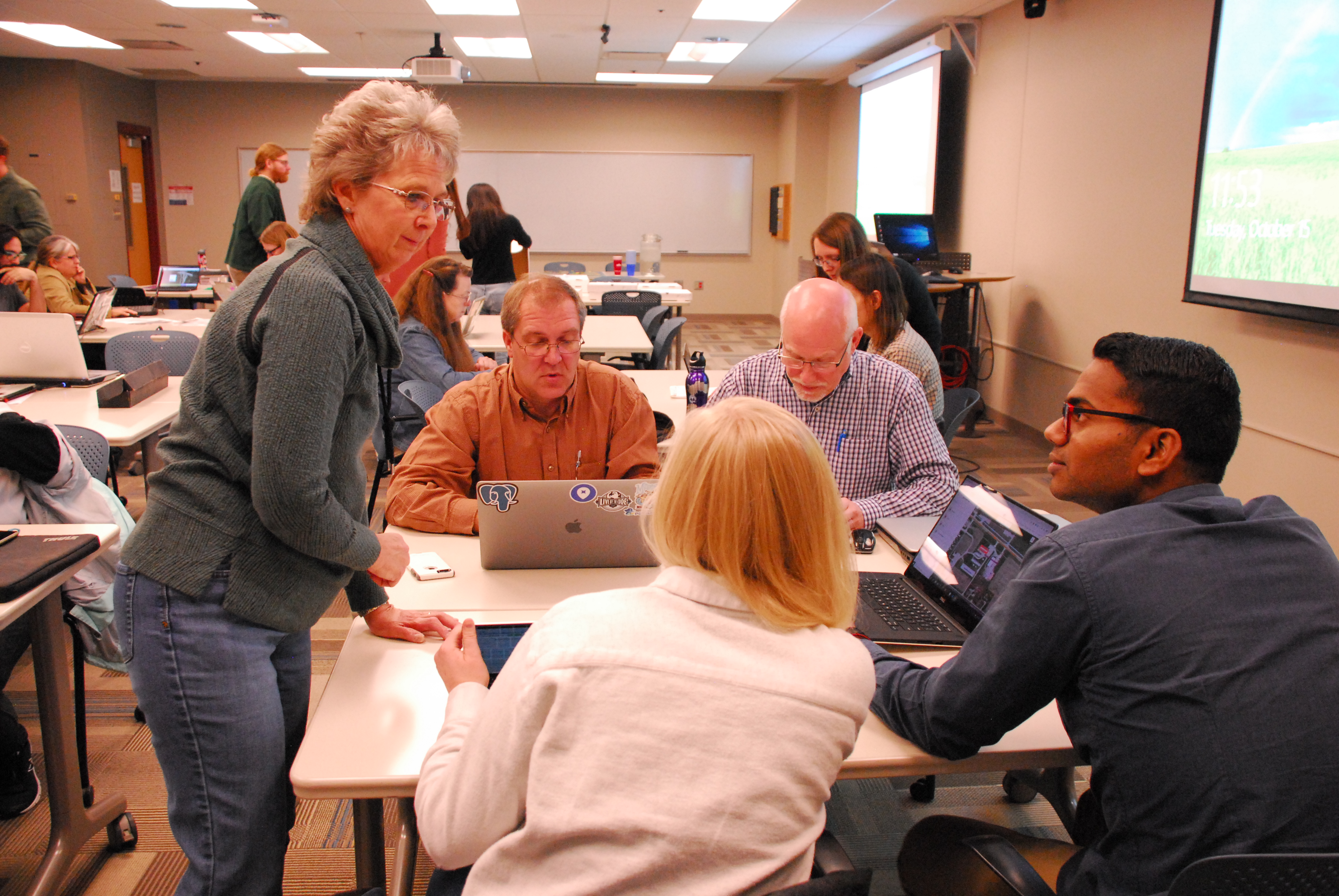
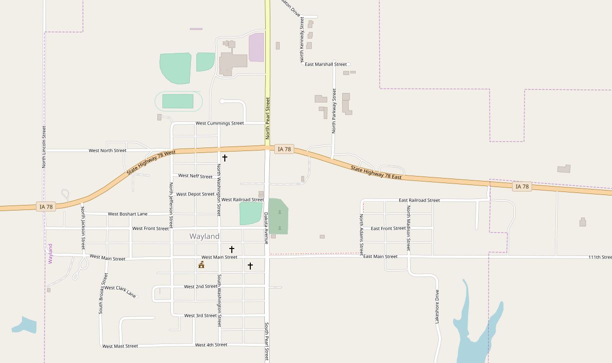
Wayland is a small town (population: 966) in southeast Iowa that has wanted to move towards a GIS asset management system, yet much of their city needed to be mapped. As a result of the volunteer efforts of our 22 mappers during the Earth Observation Day mapathon event, partcipants mapped over 70% of the city, including over 470 buildings as well as sidewalks, alleys, parks, and other points of interest. Below is a before and after screenshot of the OpenStreetMap basemap for the City of Wayland, Iowa.
Thank you, Mappers!
The second project was a Humanitarian OpenStreetMap Task improving the basemap in the Philippines to promote food security. This project added details to the basemap such as minor roads and path, buildings, and farmland.


